
Highway to Boulevard – reconnecting two sections of the City
In real life Auckland there is a lot of fanfare over the City Centre Master Plan MK2 which includes replacing the motorway (State Highway 16) in Grafton Gully with a tree lined boulevard.
While that particular timeframe is of at least two decades before the above happens in my Cities Skylines city of Manukau I do not have that issue – for I am well – Supreme Chancellor Palpatine:

Grandeur of power aside what I can do is use the game to simulate such a motorway-to-boulevard which is present in Manukau.
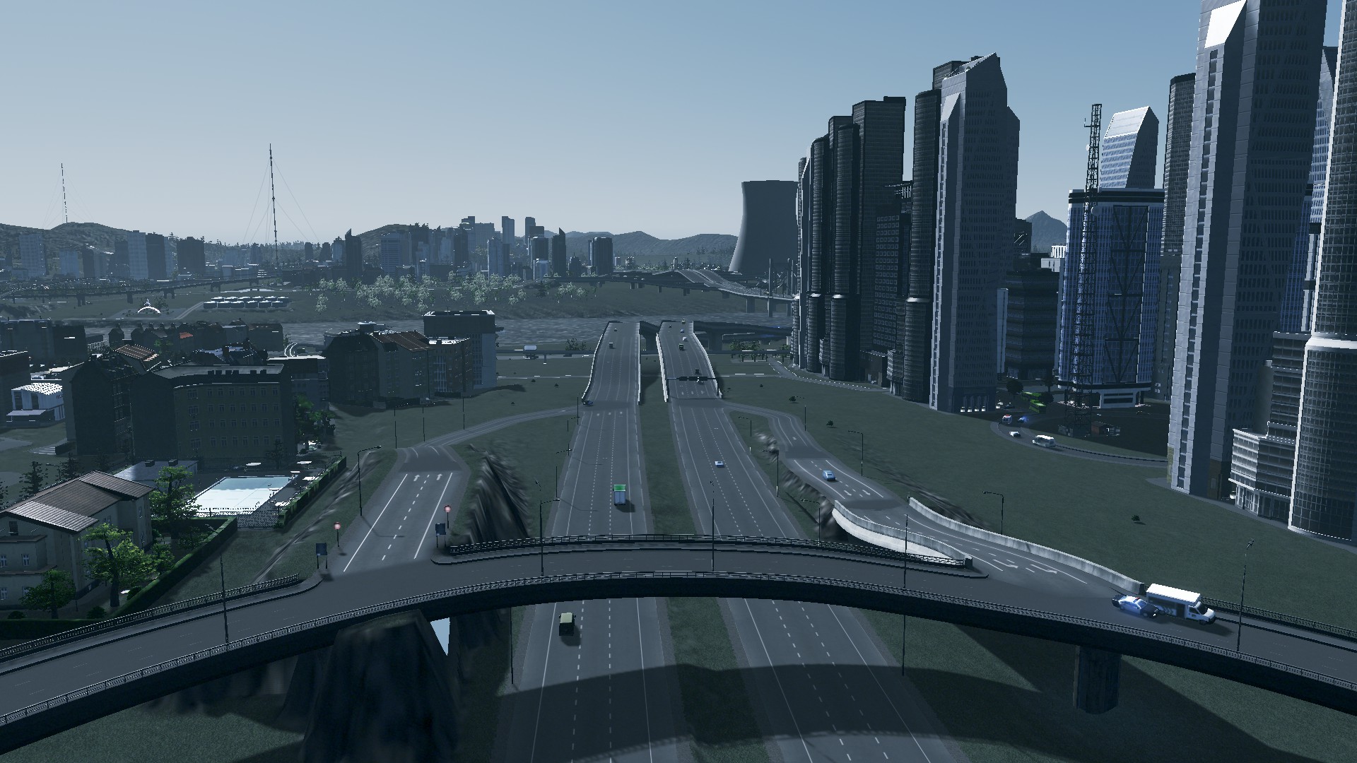
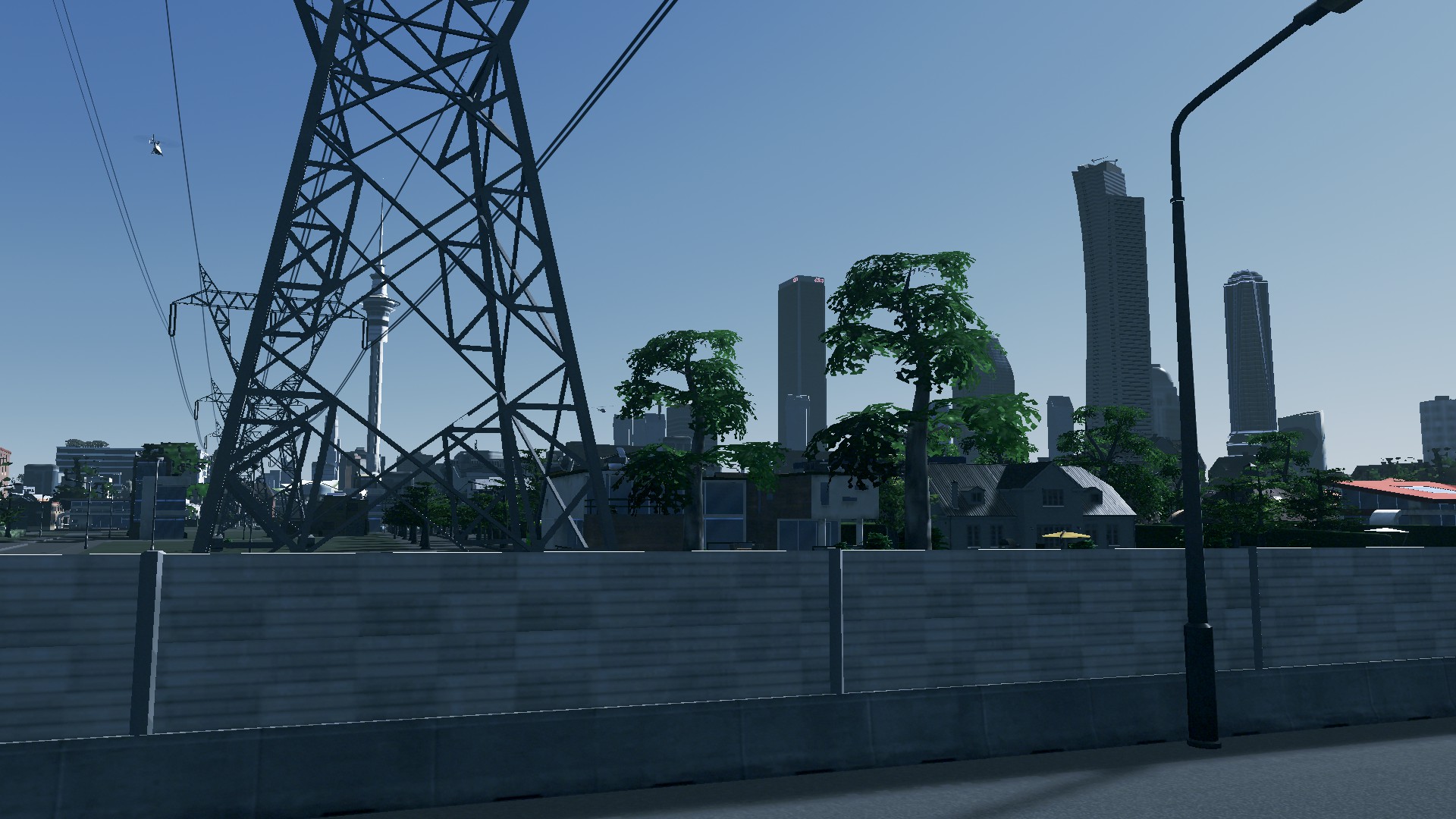
The Motorway that severs the City Centre from the University
As of yesterday (when I wrote this post) a six-lane motorway ran between Manukau’s University district on one side and Papakura/City Centre on the other. To be fair the motorway was there before the urban development as a was part of the inter-city motorway system that was there before the City.
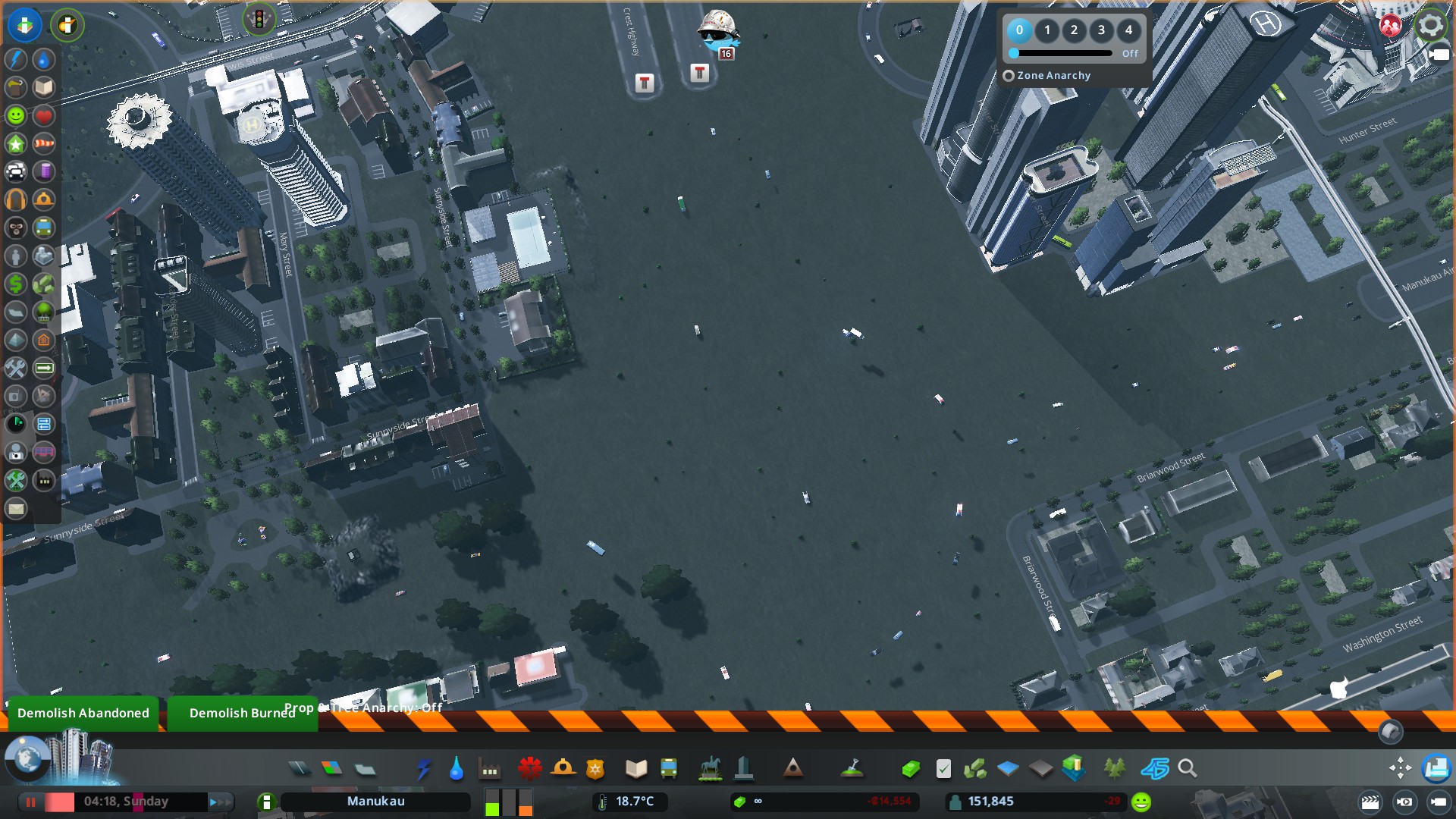
But as Manukau continued to grow the urban area from the Papakura side of the motorway jumped the motorway as the University and airport were built. With new motorway subsequently built that went around the urban area and connecting back to the inter-city highway system on the other side of the river the old motorway became redundant (apart from flooding the area with cars).
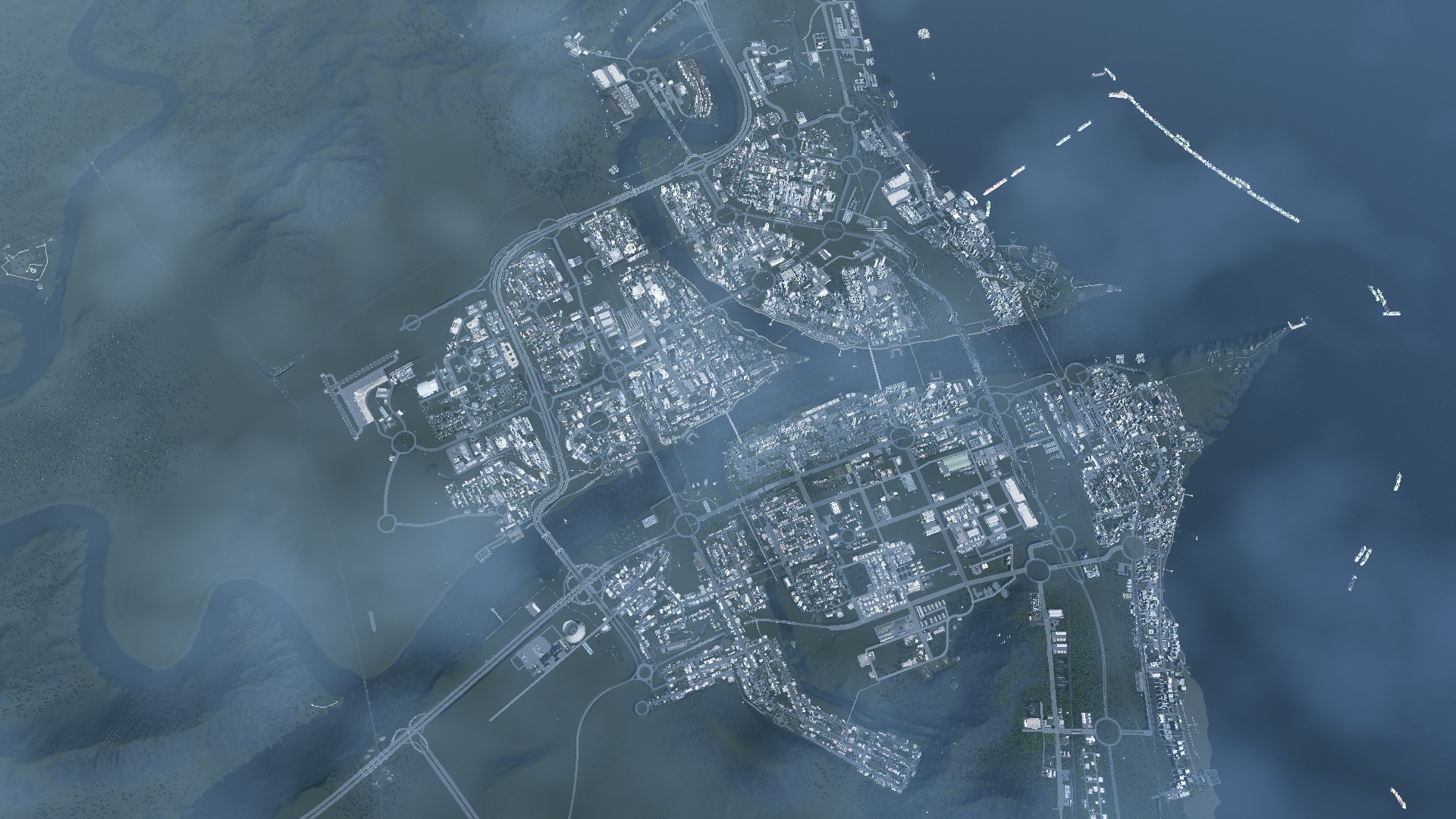
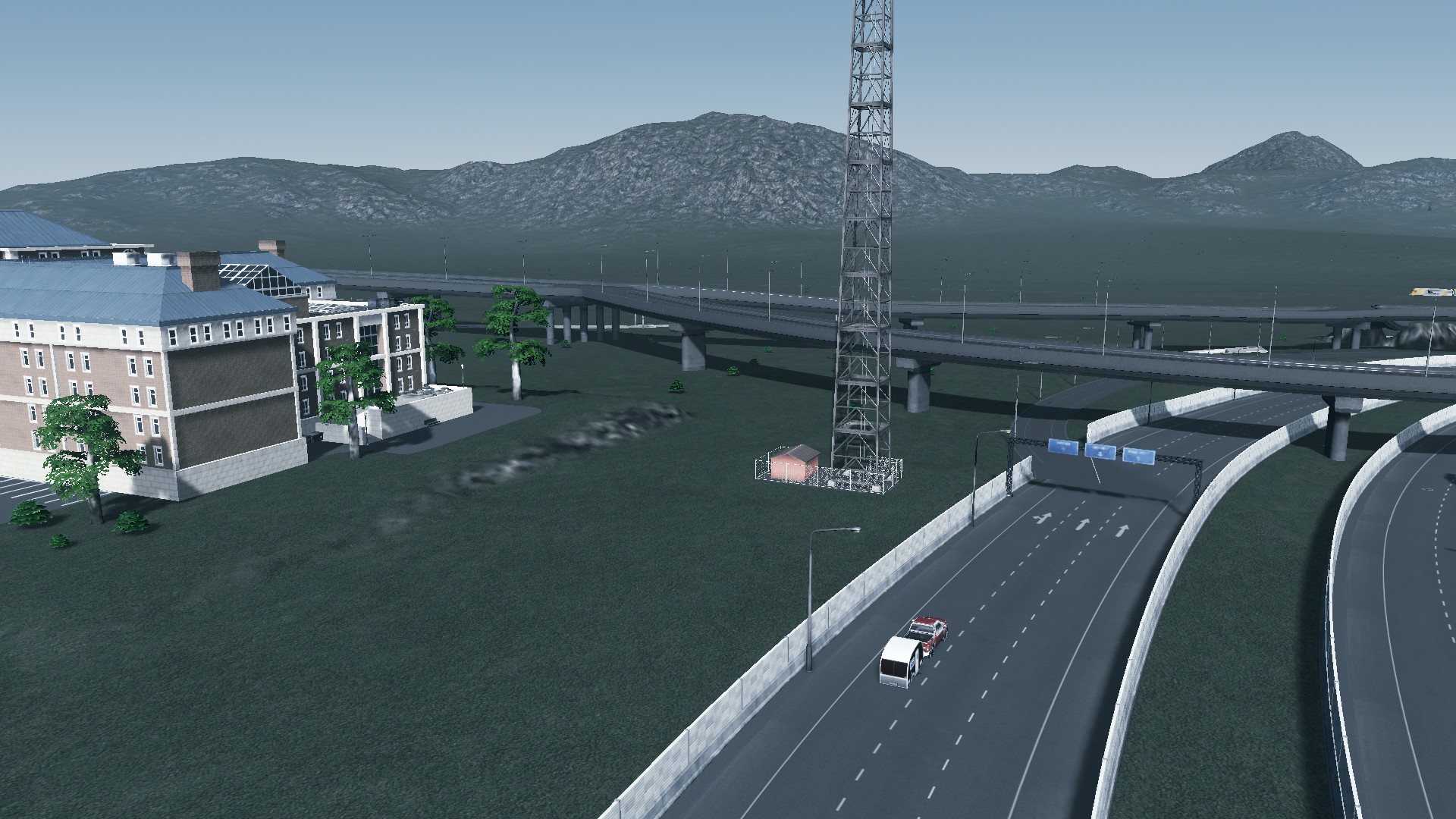
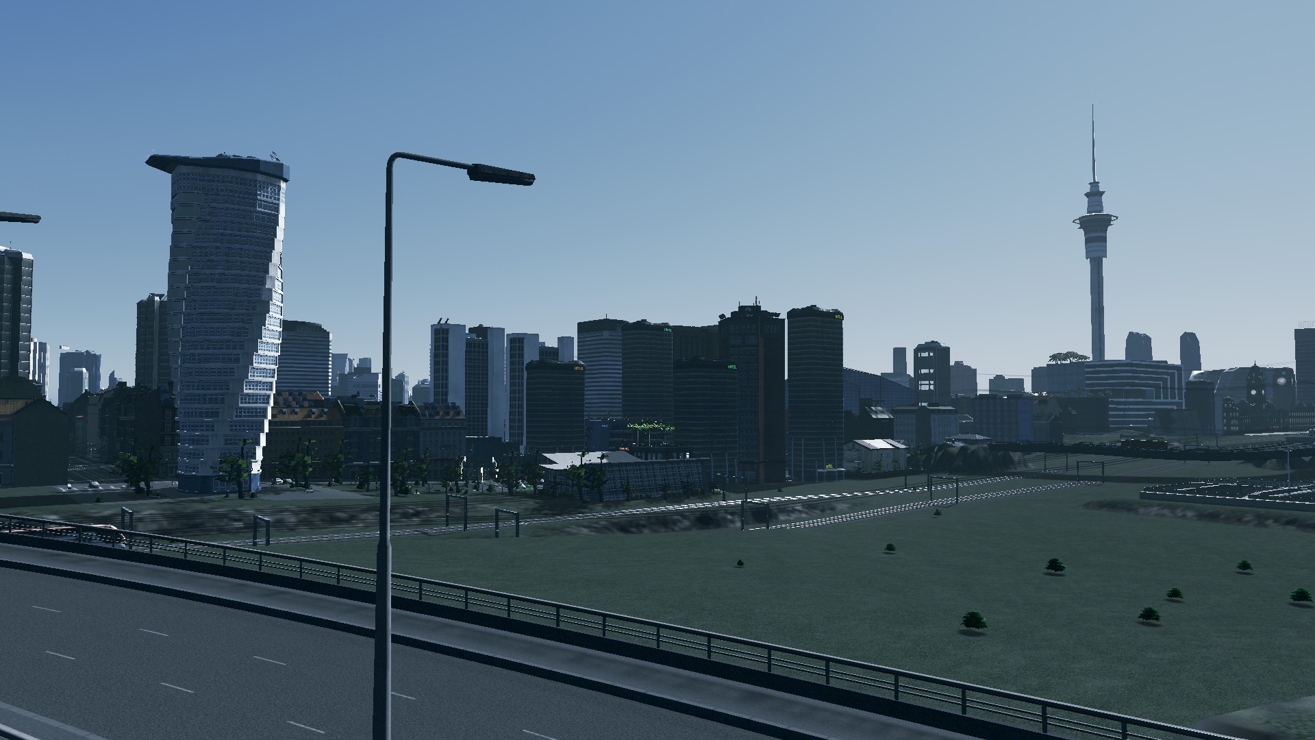
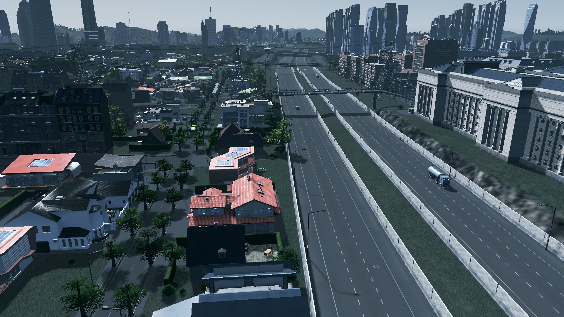
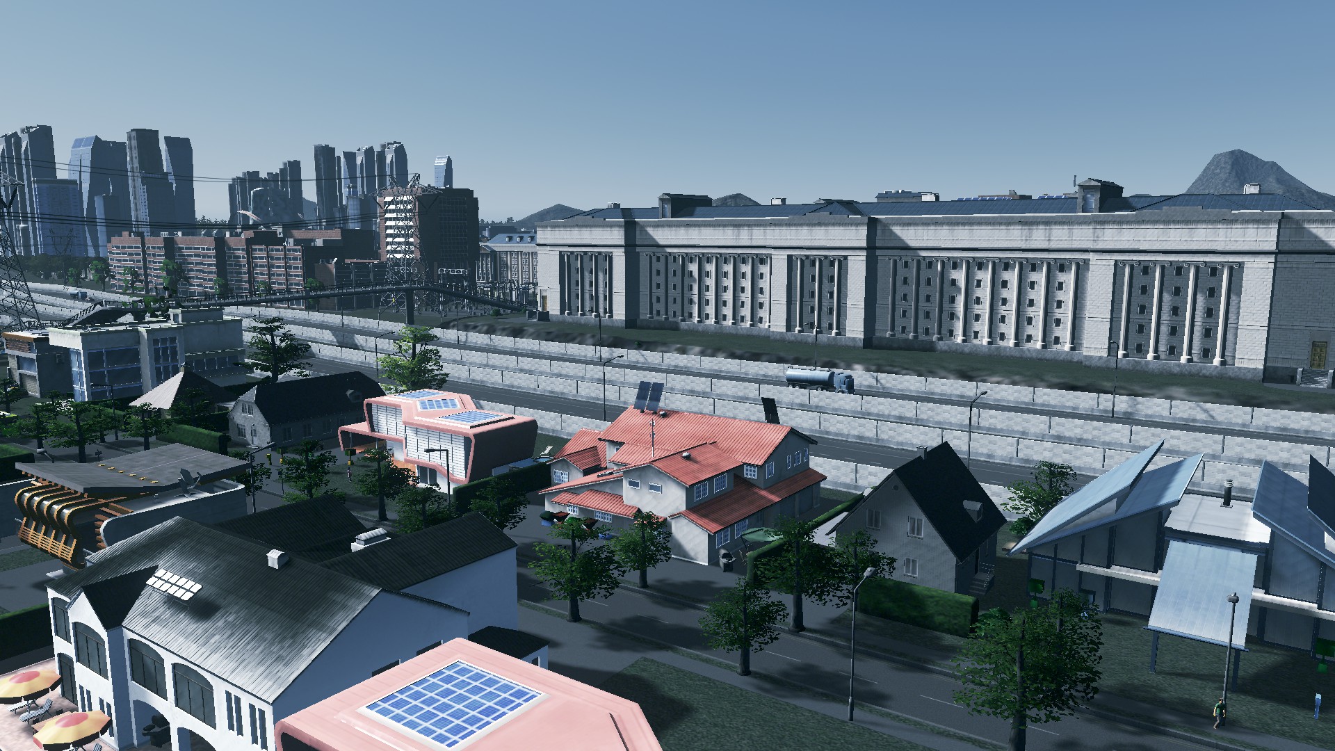
This is how the urban area was pre-motorway replacement:

Time to replace the motorway
To replicated the Grafton Gully replacement I had to replace a six lane motorway that had over-bridges and intersections with a boulevard and supporting urban development. Remember the University of Manukau is on one side and Papakura is on the other. Further down there was Manukau Estates and Manukau Technology Park that were both linked by monorail.
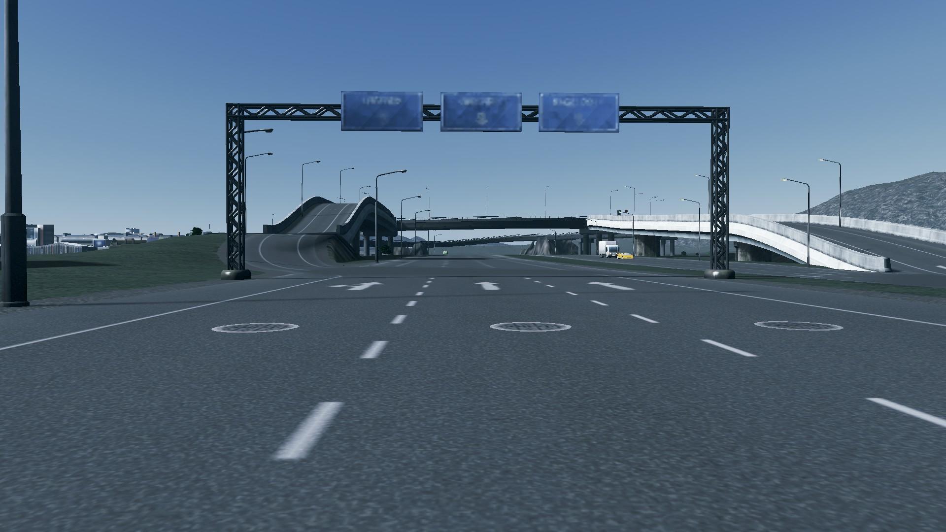
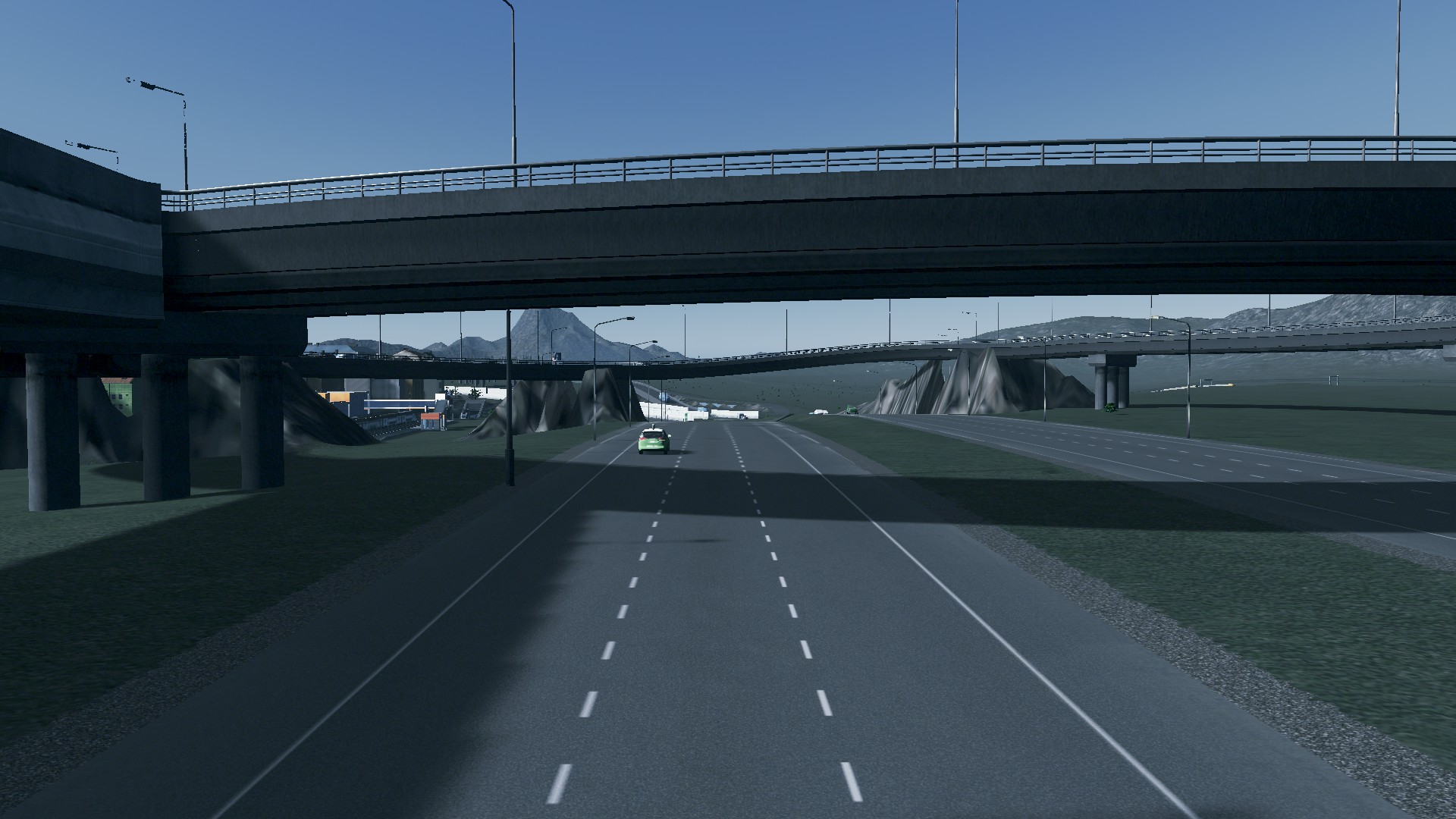
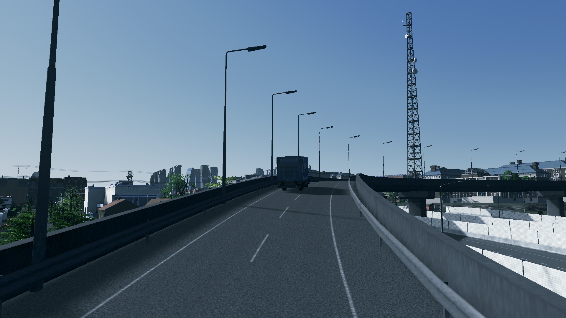
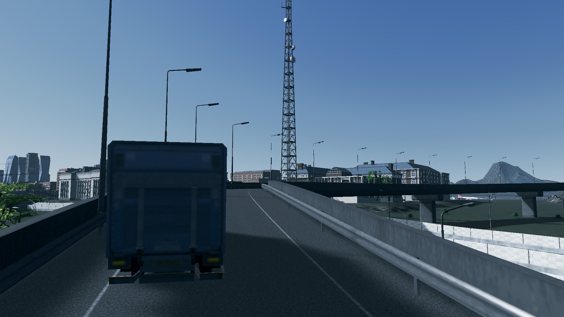
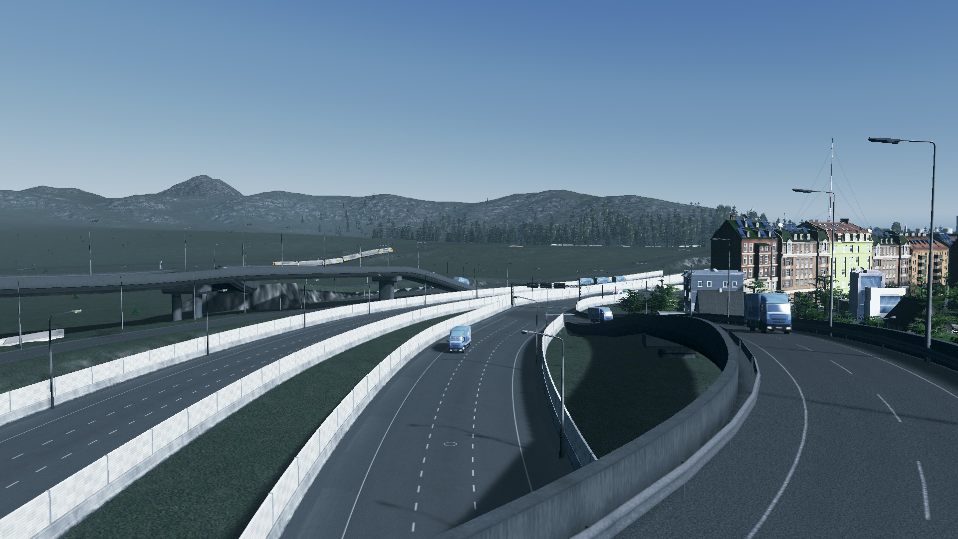
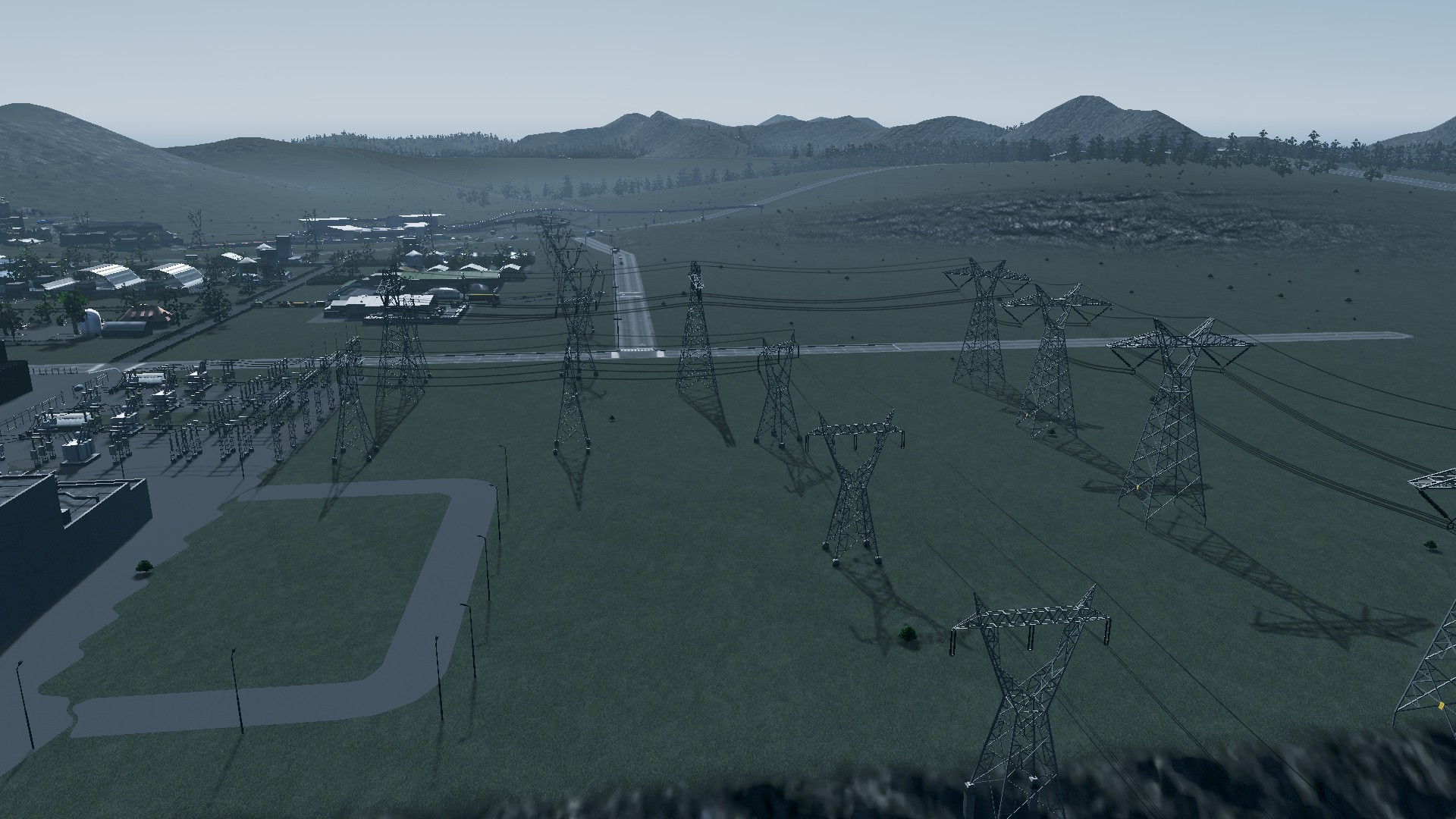
Let’s take a look at the motorway due for replacement:
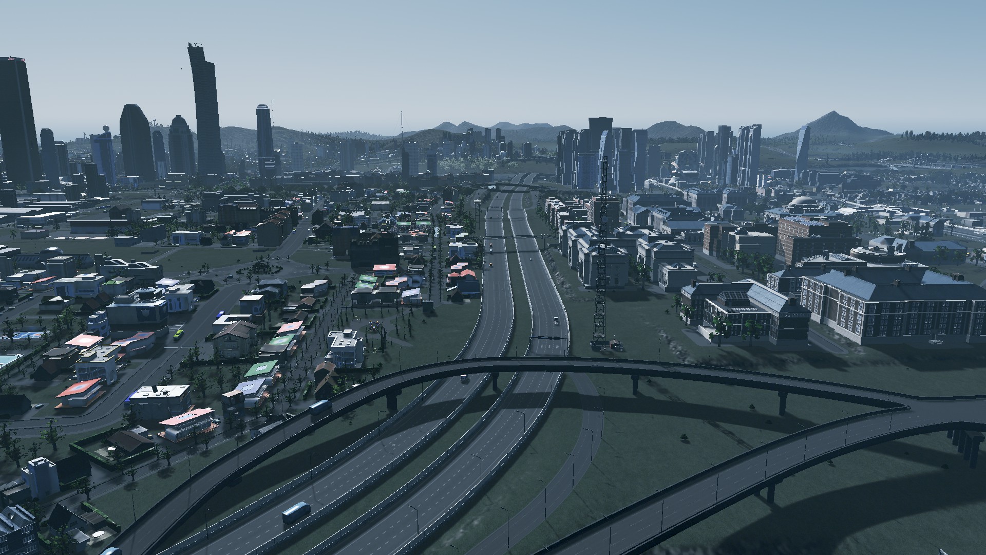


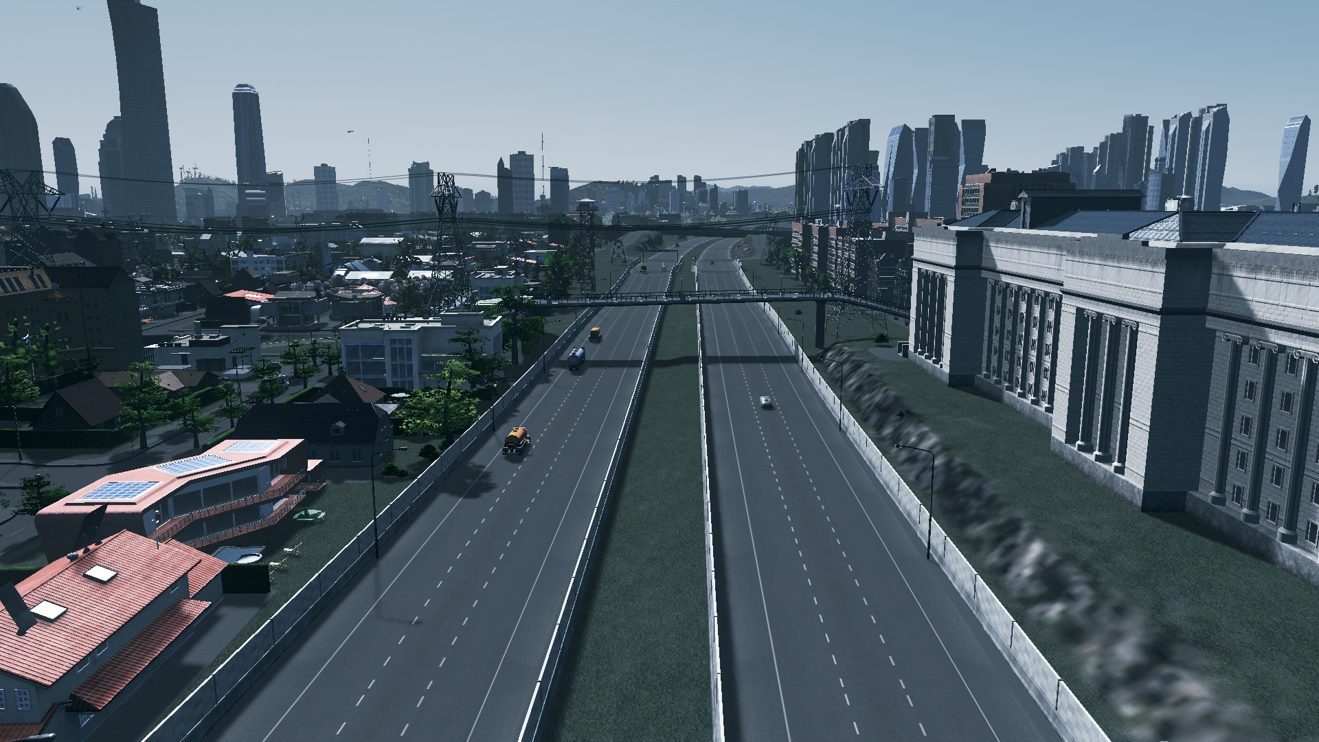

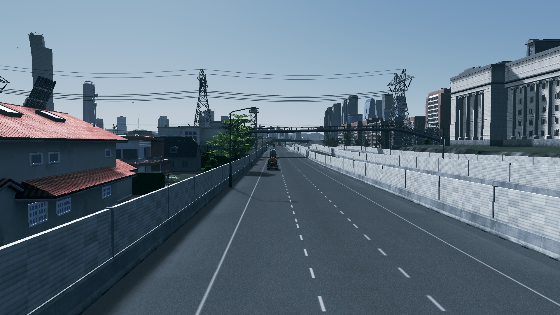

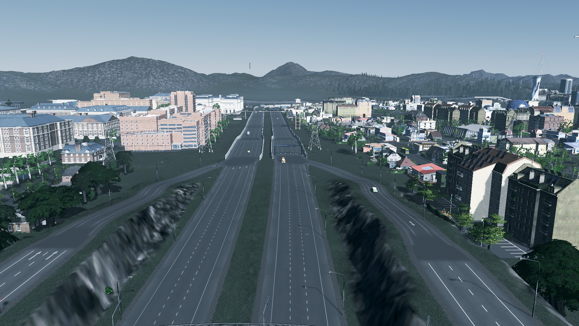

Not very nice is it?
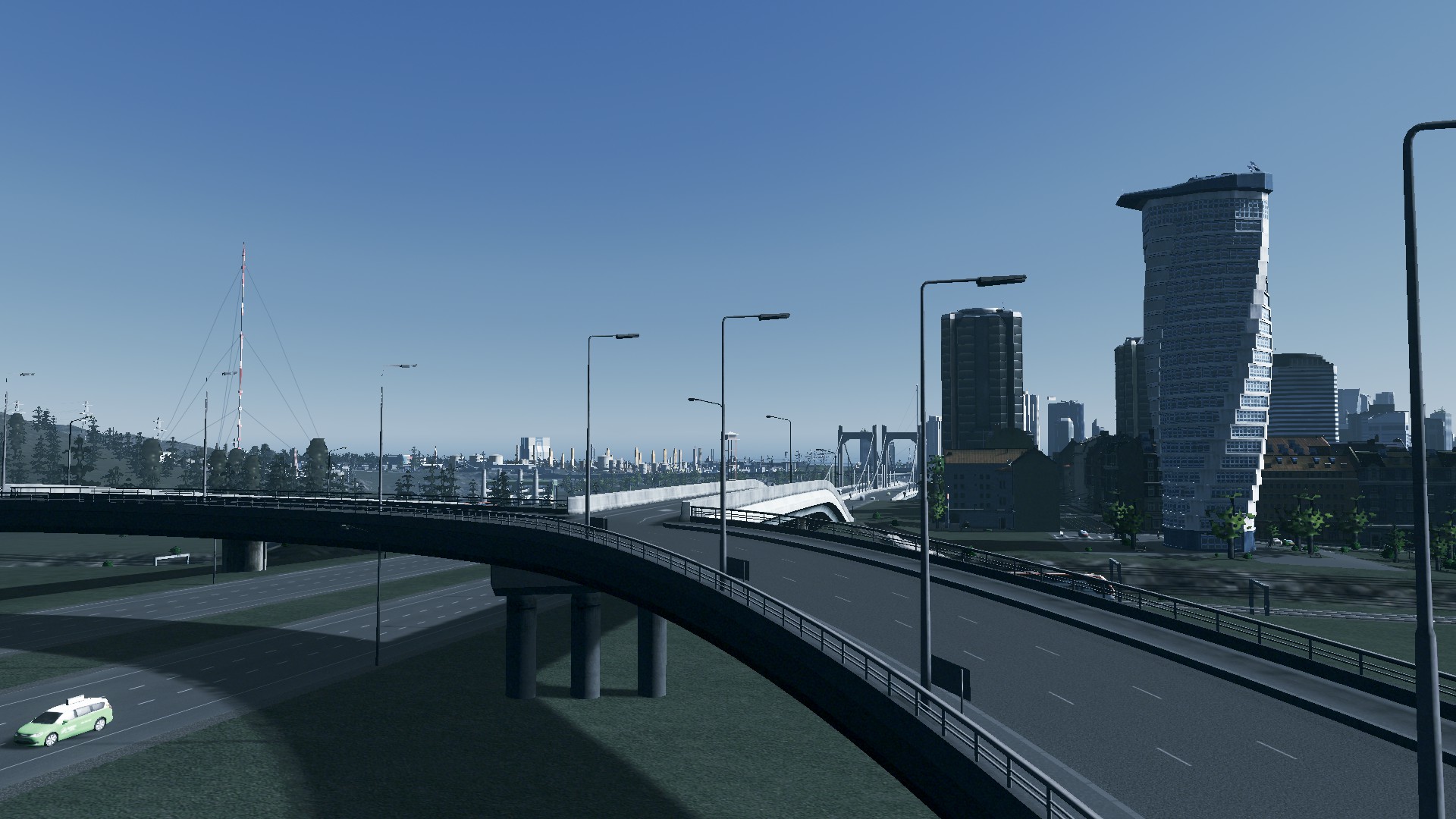
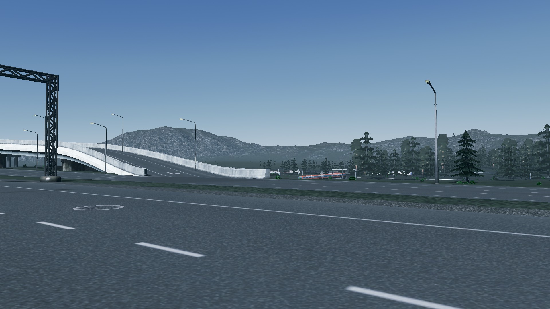
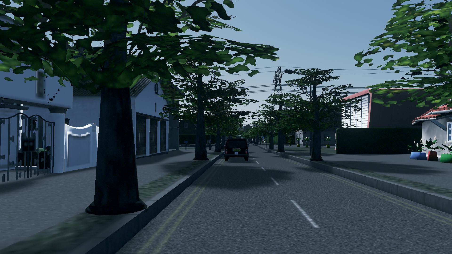
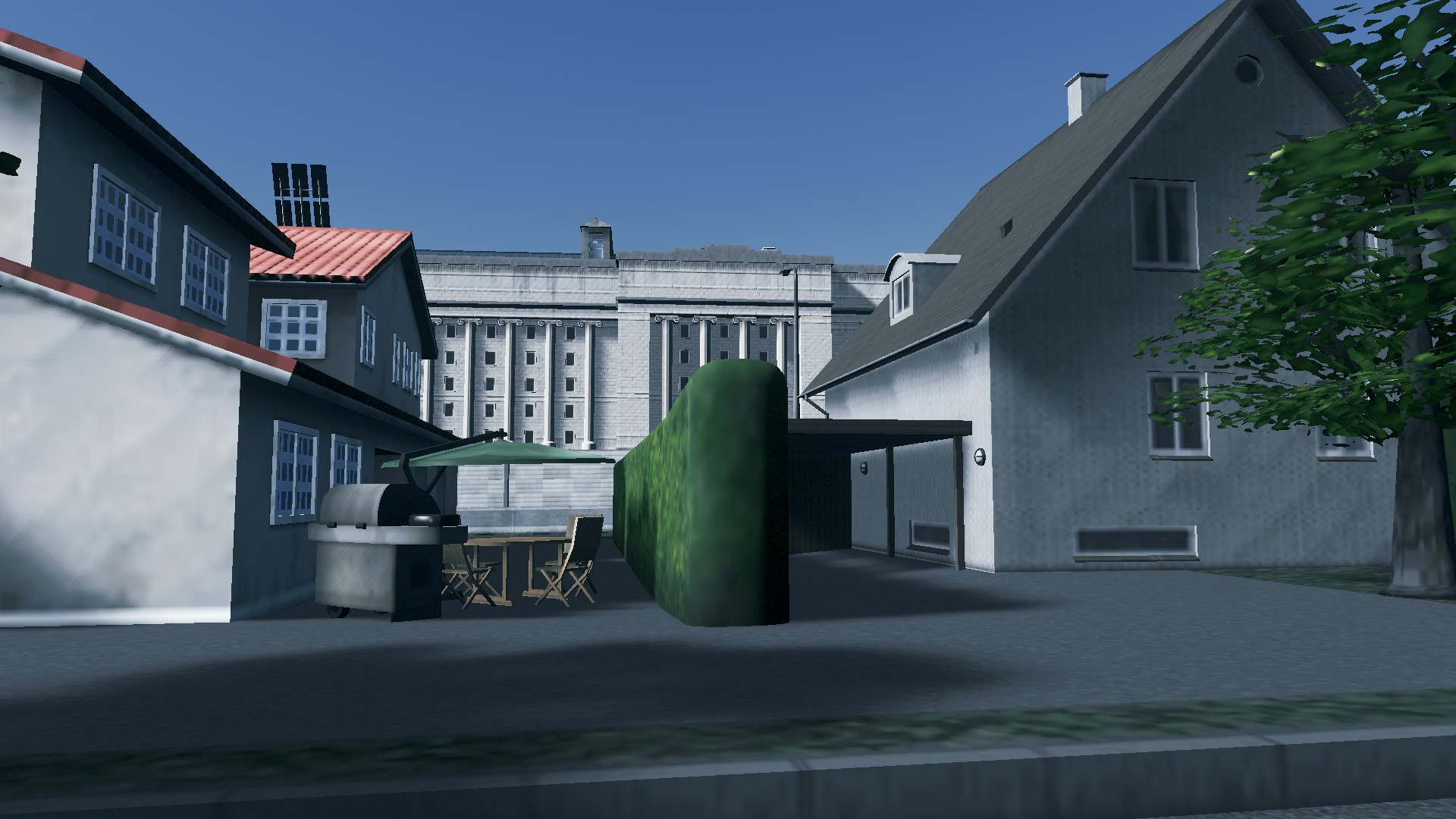
Some more pictures pre replacement:


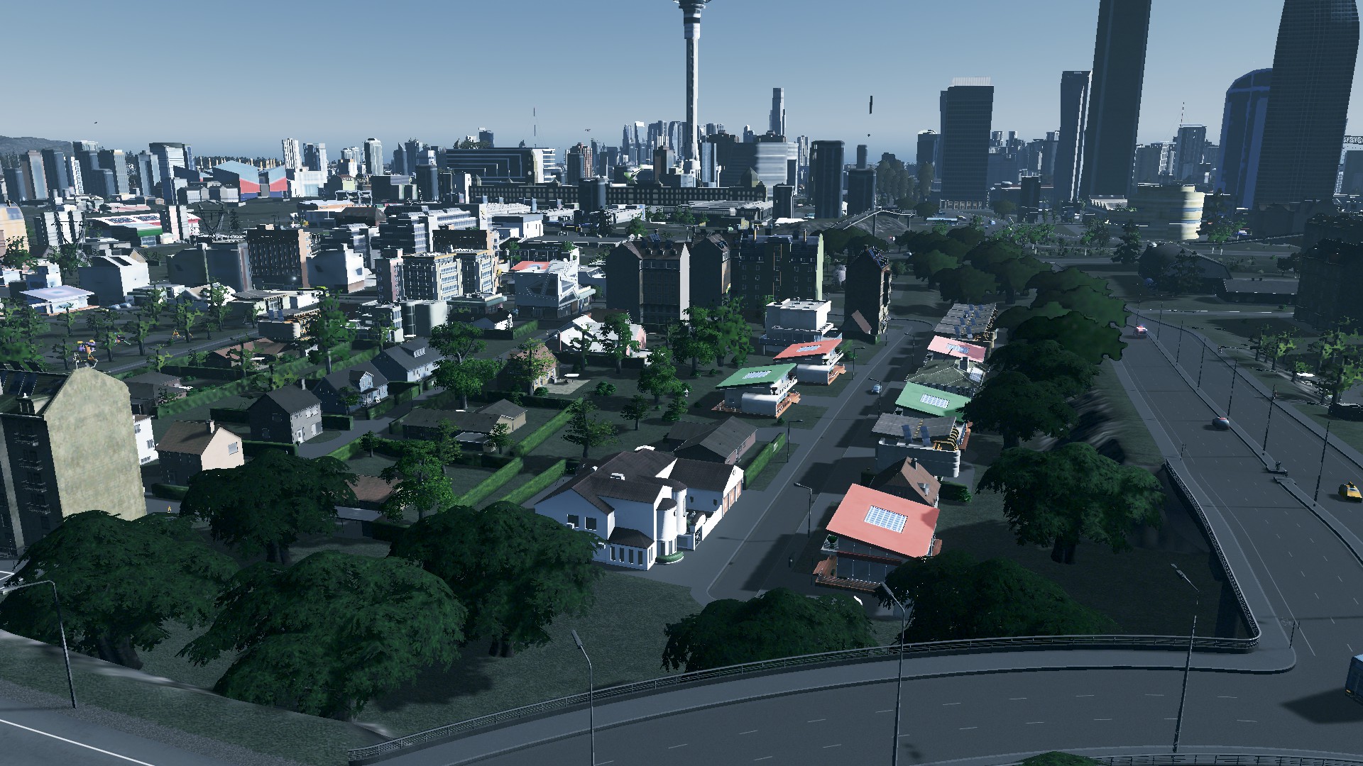


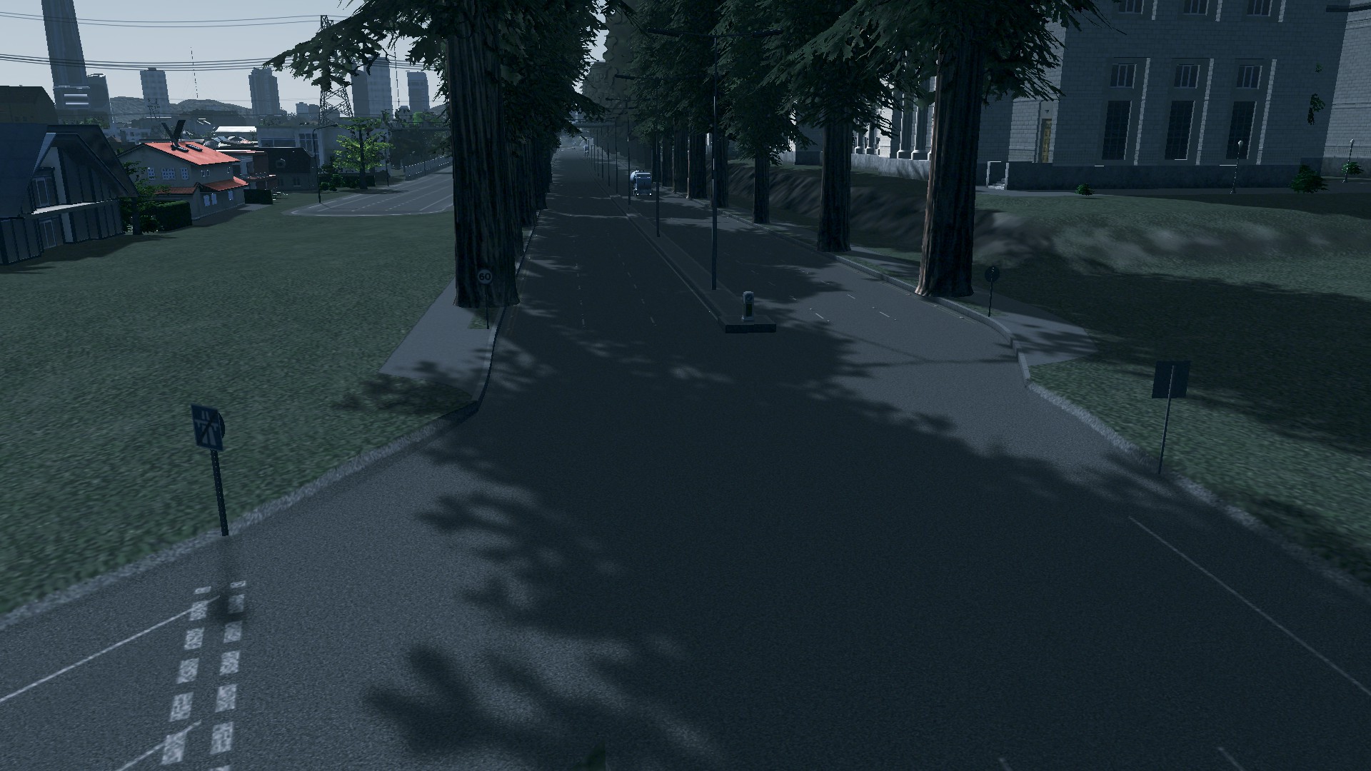
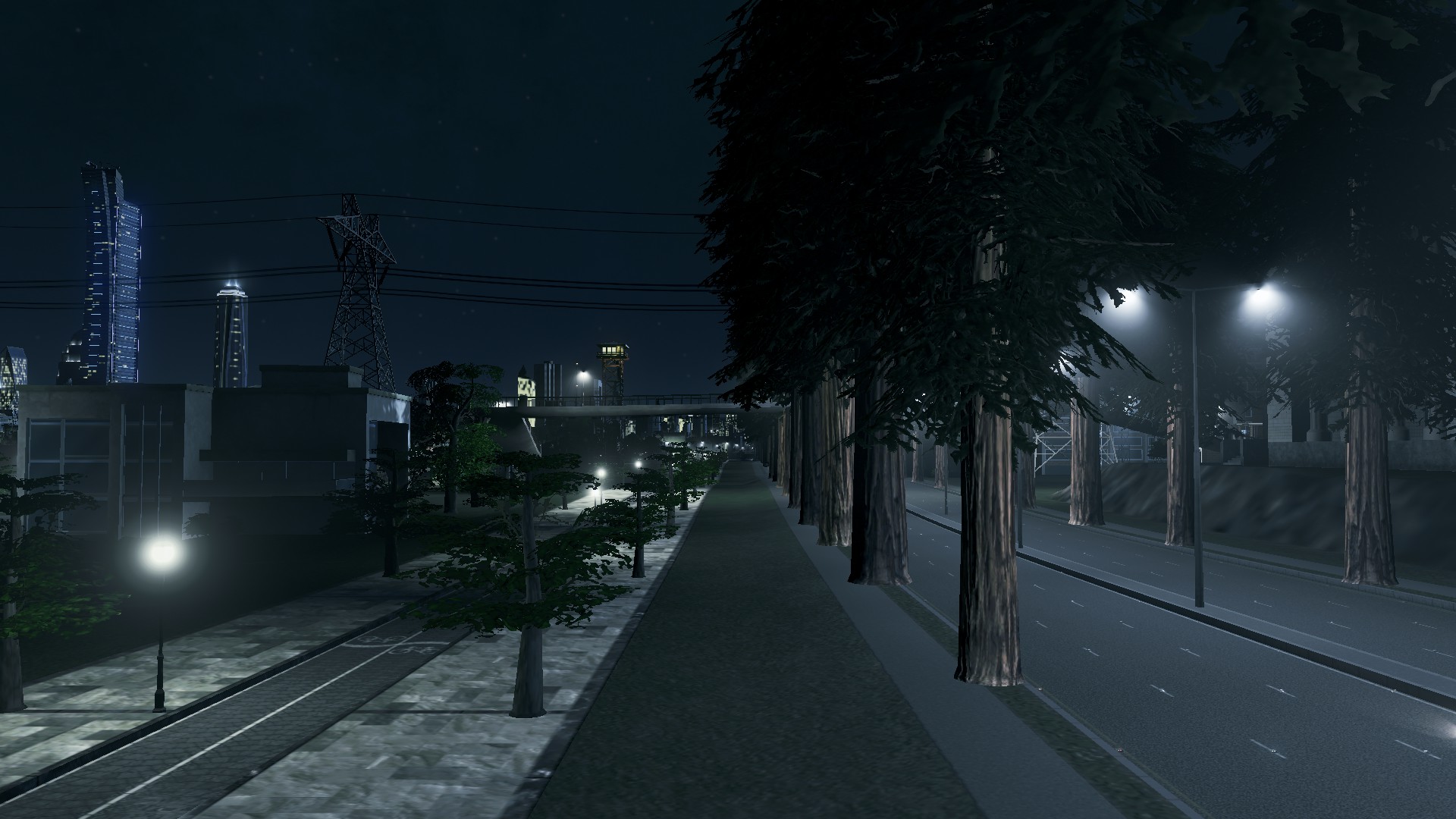
The Boluevard
In place of the motorway I replaced it with a tree lined (California Redwoods) 6-lane boulevard. The reason why it is still 6-lanes (at 60km/h) is two fold:
- The University motorway interchange is not open (thus university and airport traffic still need to use the boulevard to access both via Manukau Airport Avenue)
- Two of those six lanes will become bus lanes when I open up the new Papakura Heights development northern side of the motorway. The speed limit will be then reduced to 50km/h. Those bus lanes will happen regardless of the University interchange
To compensate for the fact the boluevard is still funnelling traffic at speed there will be no urban development either side of it. Instead I have put separate cycling boulevards either side running in parallel and they will house the new urban developments.
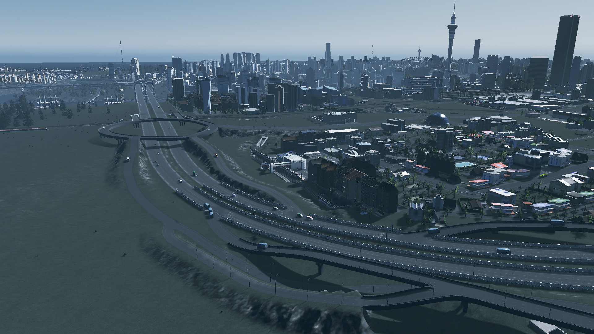
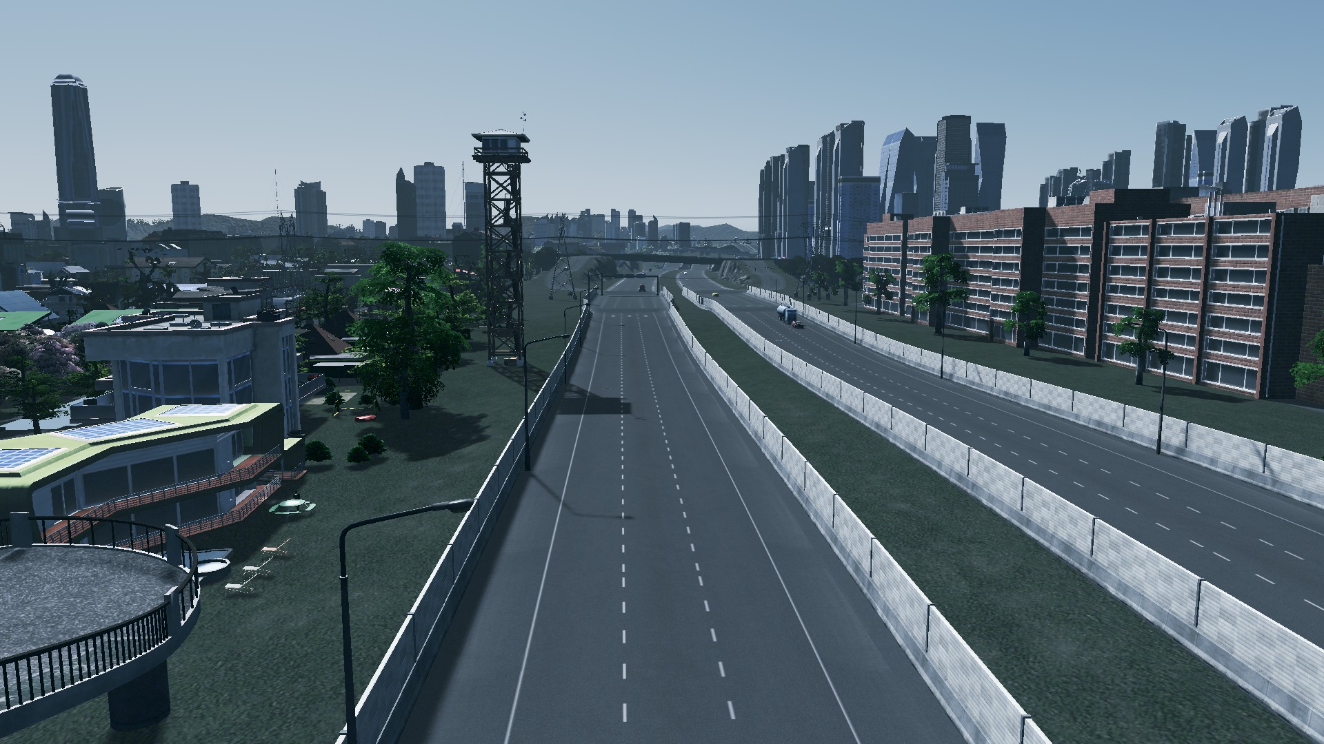
Let’s take a look at the replacement program:


The Boulevard – Estates and Technology Park sector
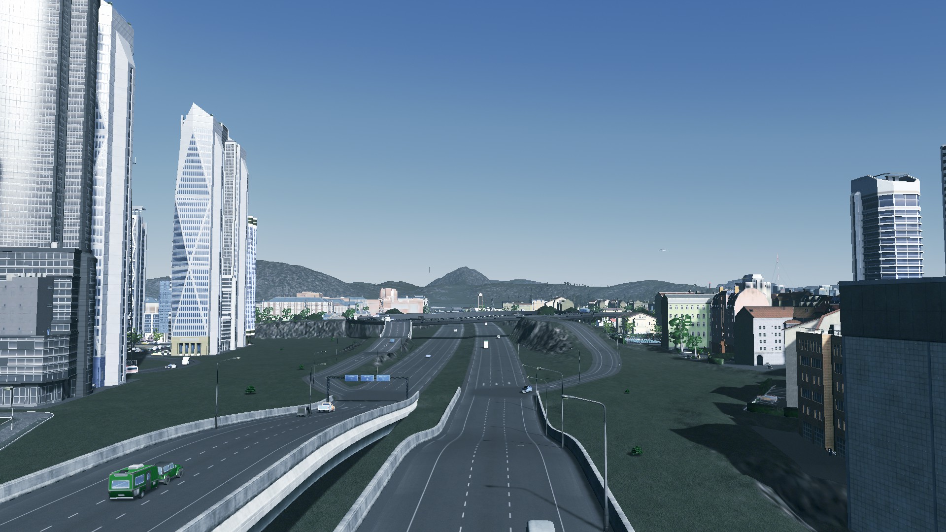
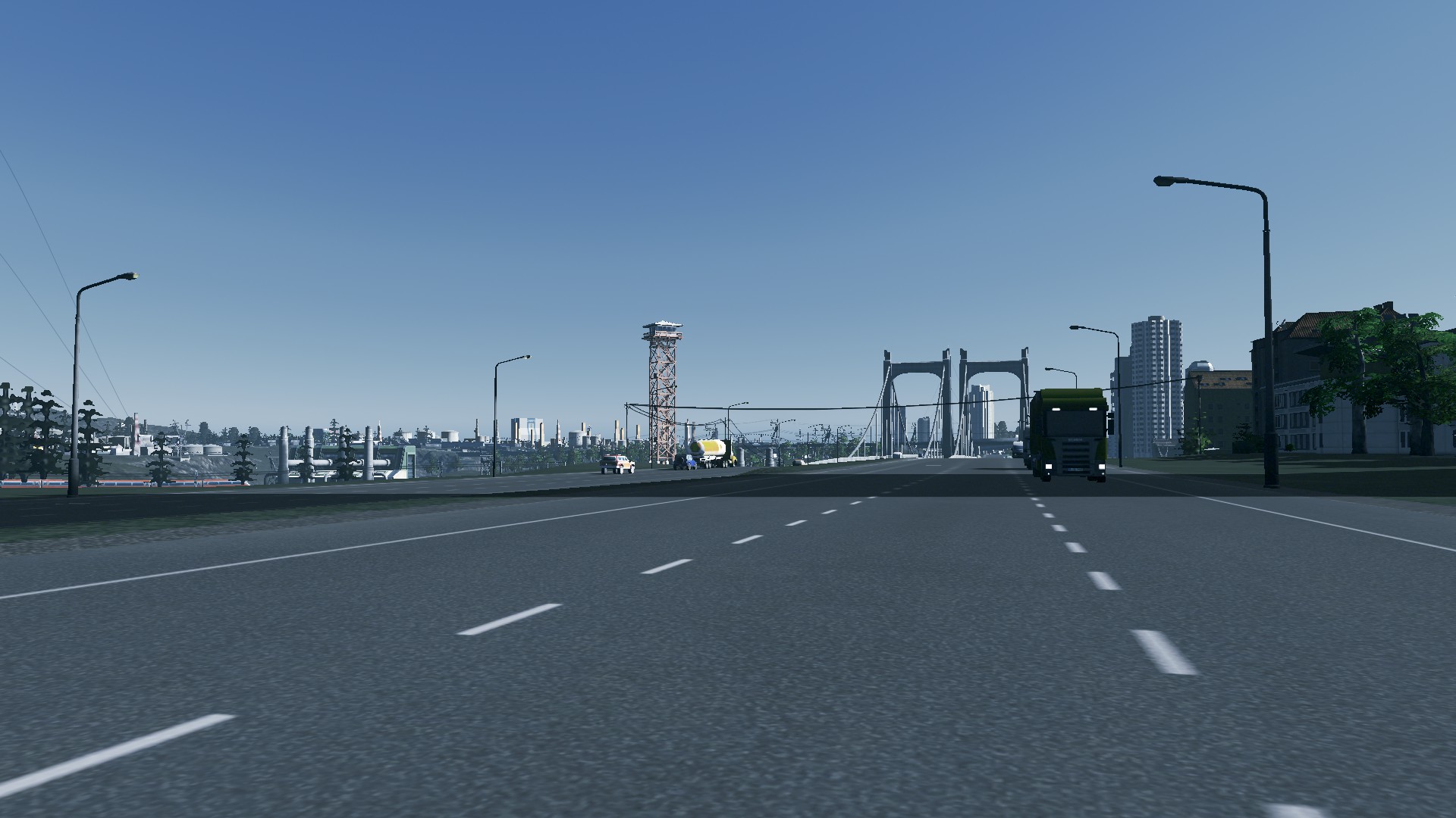
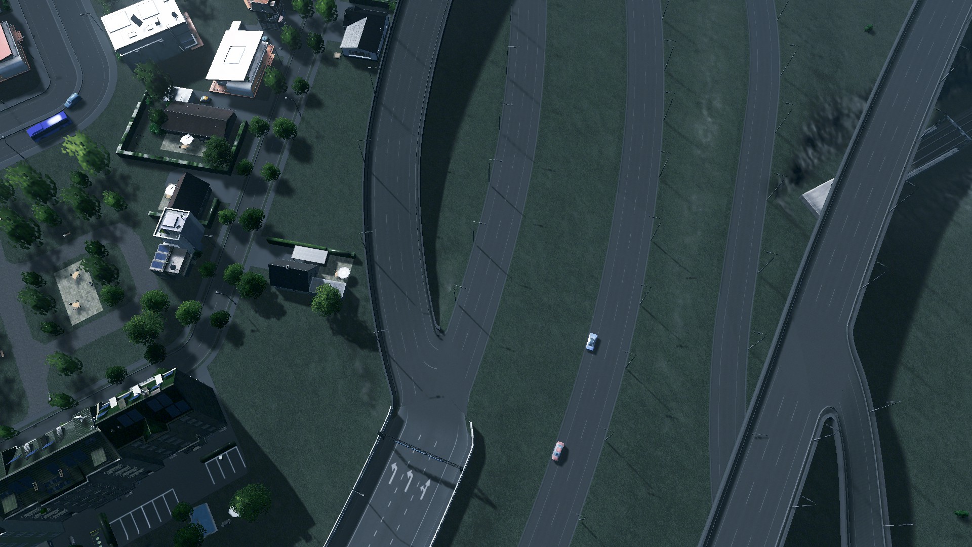
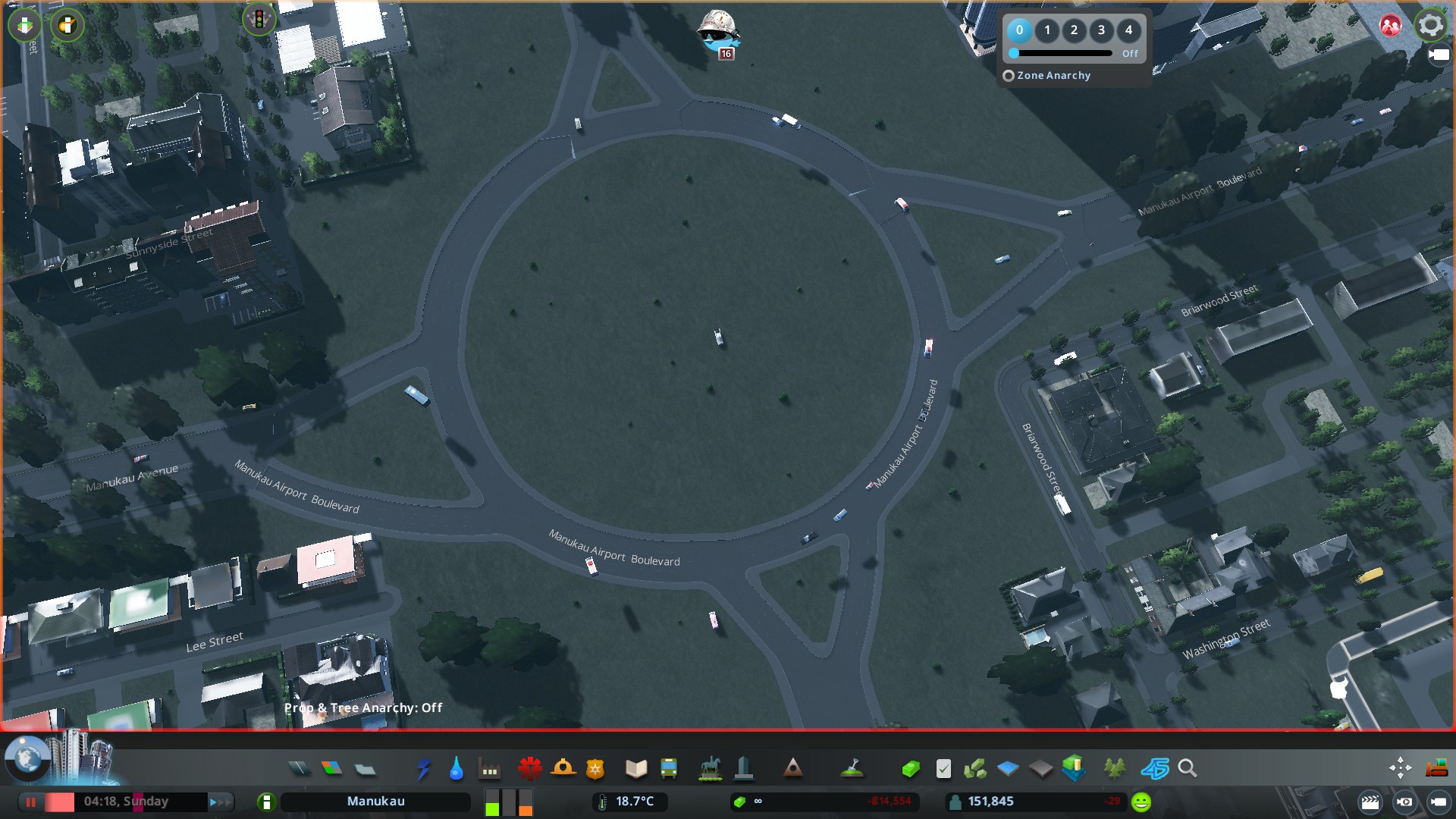
On the other side of the Manukau/Manukau Airport Avenues Roundabout the motorway continued dividing Manukau Estates and Manukau Technology park before heading over the river to connect with another recently rebuilt interchange (that would lead to replacement of a 6-lane road into a transit way)

For this part of the motorway replacement there were two activities carried out:
- Extension of the Boulevard
- Shrinking the motorway that is left
As this part of the motorway connects the two sides of the river as well as the urban area back to the south bank set of motorways it was decided that shrinking the motorway would be best.
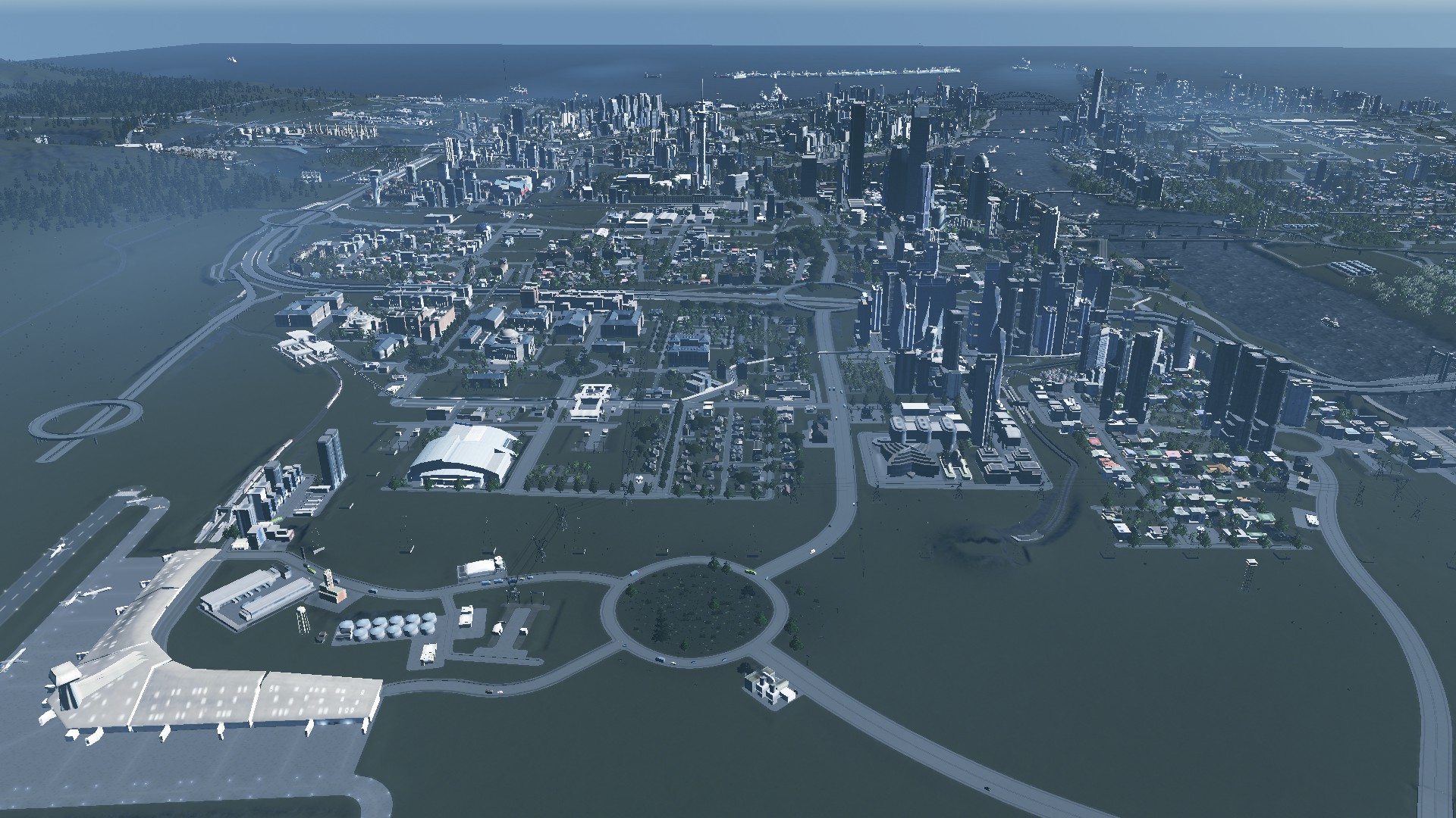
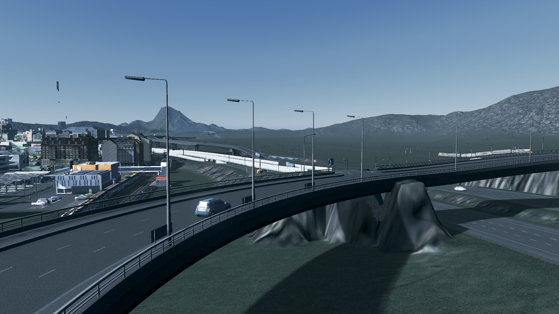
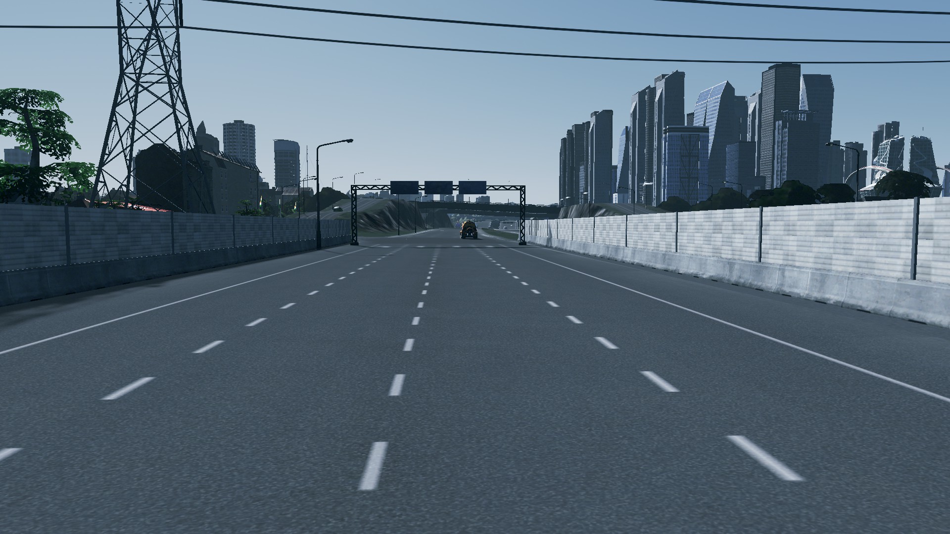
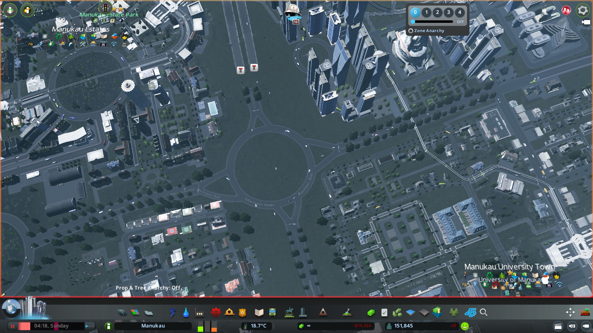
This was the result including a rebuilt interchange:


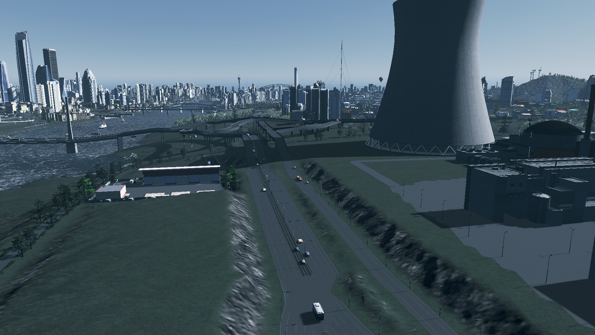


As a bonus you can see the Manukau Nuclear Power Plant that runs a EPR-1400 reactor. Enough to power 85% of the City under current arrangements. Two 400KV lines and an 800KV line distribute the power to the City (linking up with circuits that come from the Daffodil Oil fired Power Plant, the Taranaki Geothermal Plants, the experimental Ocean Thermal Inversion Plant and the now mothballed Wiri Coal-fired Plant (used before the nuker was opened)).
Stage 1 of Operation Grafton Gully is complete
At the end of this part of the operation what was once an inter-city motorway has now been replaced by a boulevard, a shrunk motorway and a new interchange. And boy does the area look better already as I continue onto Stages 2 and 3 of Operation Grafton Gully.
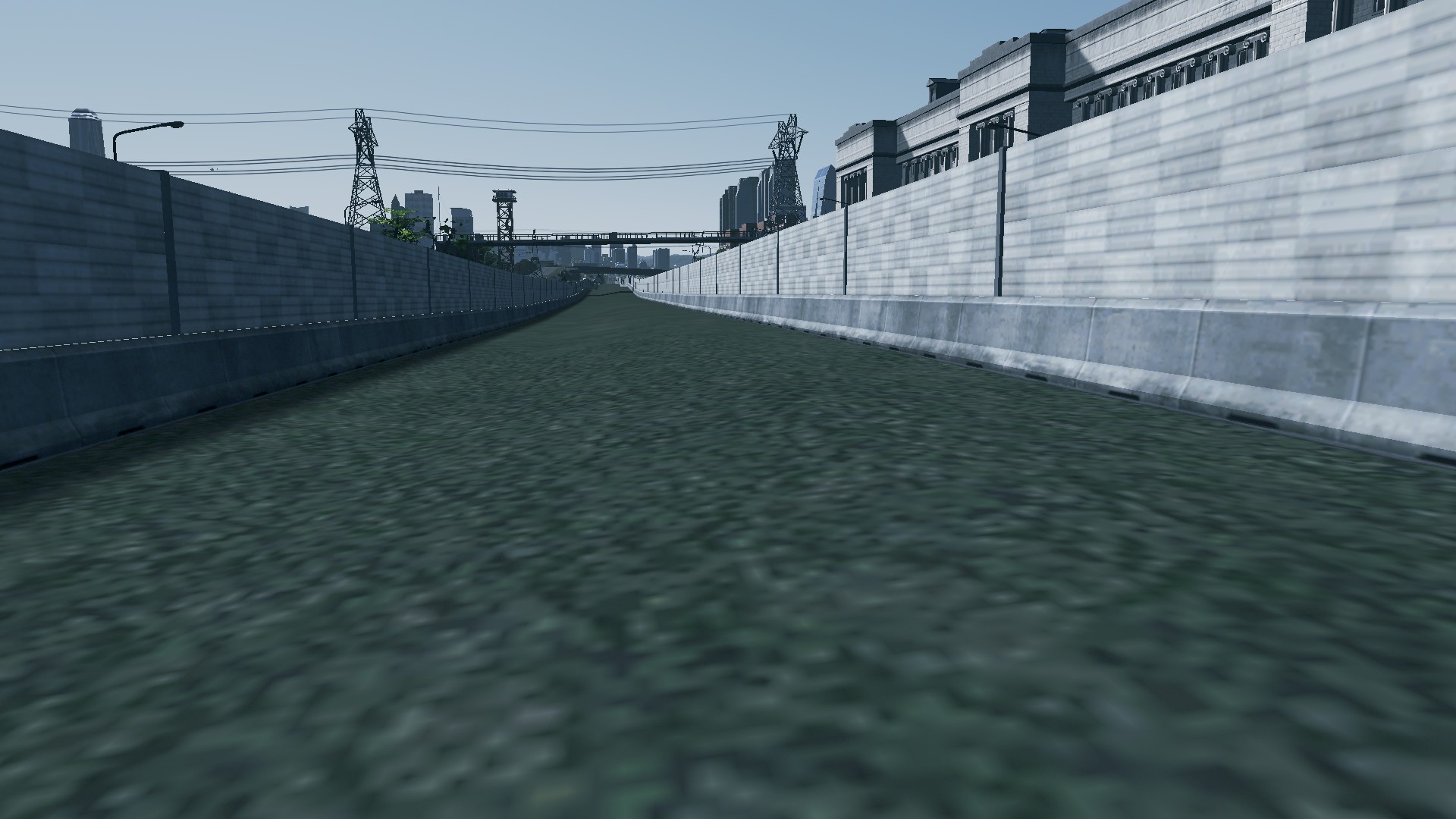
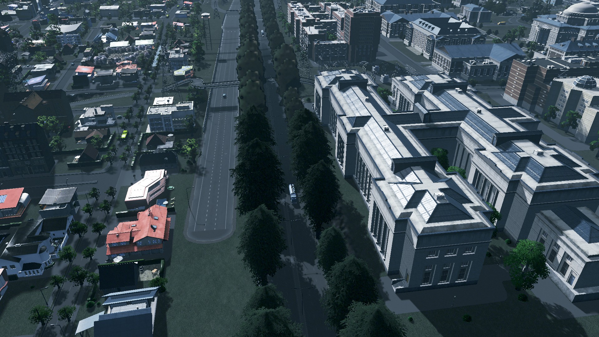
Stage 2 is already underway with supporting infrastructure going in such as cycle boluevards, walkways and new lane ways for the urban developments:
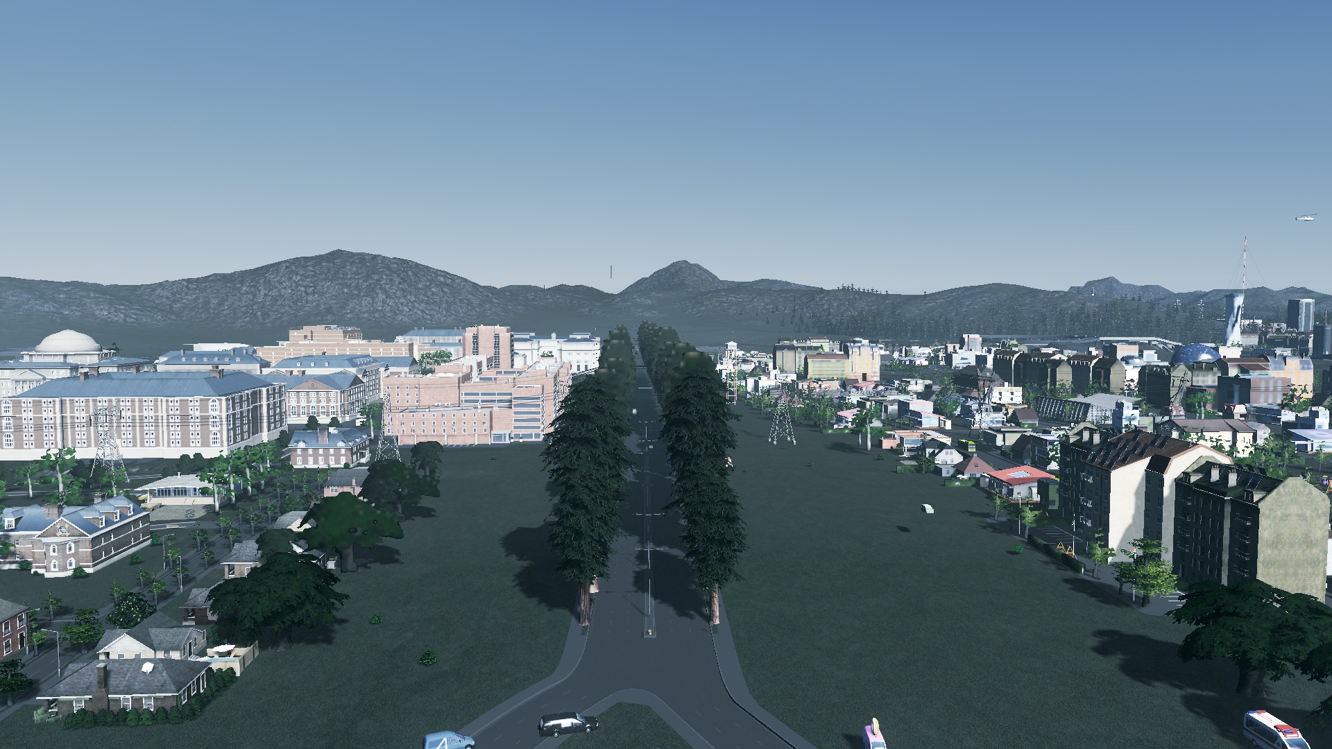


The new boluevard is open to traffic marking the completion of Stage 1. Stage 2 is the completion of local infrastructure to support the new urban developments as the urban form is stitched back together. Stage 3 will be the micro-detailing work including median barriers, new signs, use of the Move It mod to even the roads out and finally the landscaping.
Operation Grafton Gully: simulating the restoration of the urban area by replacing a motorway with a boulevard. How did it go? That is up next!
Oh the Boulevard does not have a name yet either. Suggestions in the comments below.
