Let’s see what I have been designing for San Layton City
Since Cities Skylines came out in 2015 I have been honing in my Urban Geography and Urban Design skills. That is trying out different spatial developments, different urban design techniques and most of all working the transport system in so your City does not lock up.
As a side note this is why I am using roundabouts more in my newer Cities as they do a better job in keeping traffic moving.
Below are two sets of slide shows both covering the City Centre and Garnet Hills. The first will be of Bus Line 16 doing its trip from City Centre to the Garnet Hills subdivision via a stop outside the newly opened San Layton Nature Reserve. The second is of aerial shots of a new extension of the City Centre and Garnet Hills itself.
One of my favourite editions to the game are the Pedestrian Mall and Shared Path assets. The Pedestrian Mall says as it does – a mall for pedestrians although it does not stop emergency service and service vehicles from using it. On a rare occasion a bus might traverse the mall but the speed limit is reduced to 20km/h. The Shared Path allows all traffic on it at a reduced speed of 20km/h and is good for when commercial is in the area and you need the goods trucks to come through. At the moment Urbanist (the creator of the Shared Path asset) only has the one-way shared path with parking available but more variations are coming.
Without further-ado let’s get the show on the road:
Bus Line 16 and some wet weather
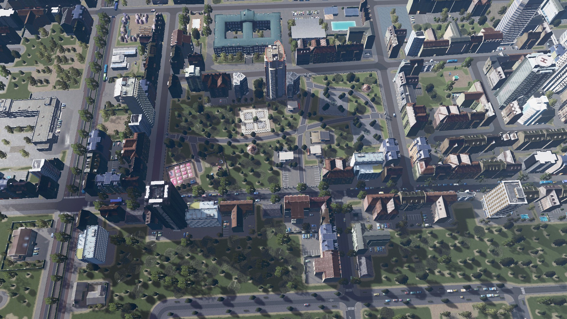
Some aerials of Garnet Hills and the City Centre (AND first look from the Nature Reserve):
Finally where San Layton City is at as of 31 May 2018:


Next up – a rocket launch!
