
Data helps
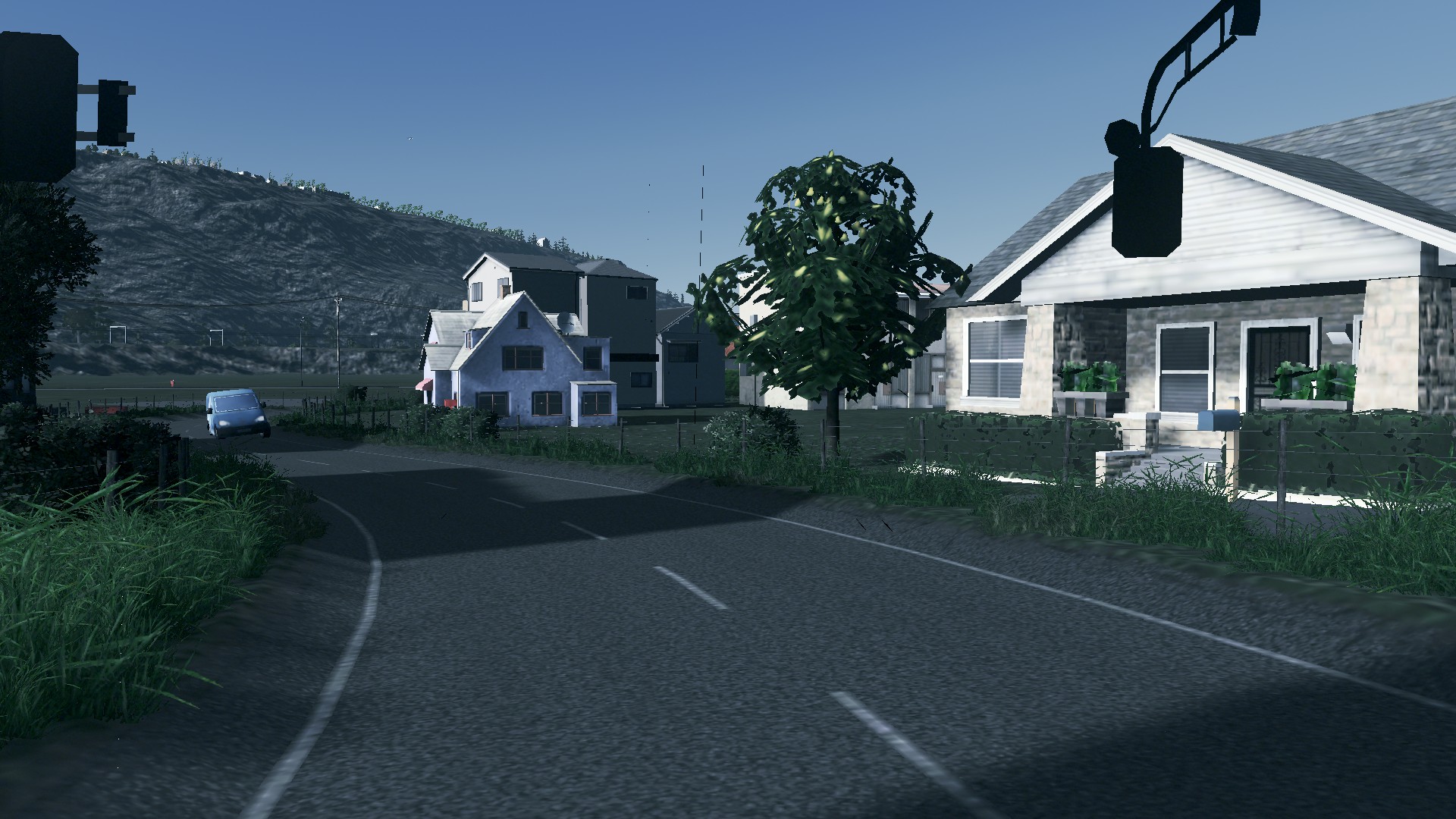
In today’s episode we look at how the data sets available in Cities Skylines and how they can be used to either fine tune a City or how it can be planned ahead.
Also included today is the Q+A session. If comments are left in the blog or YouTube videos about an episode I will do my best to answer them. This week’s Q+A looked at street design and an apparent focus on cars and buses.
Without further ado lets tuck into this week’s episodes:
Q+A – 20.10.2019
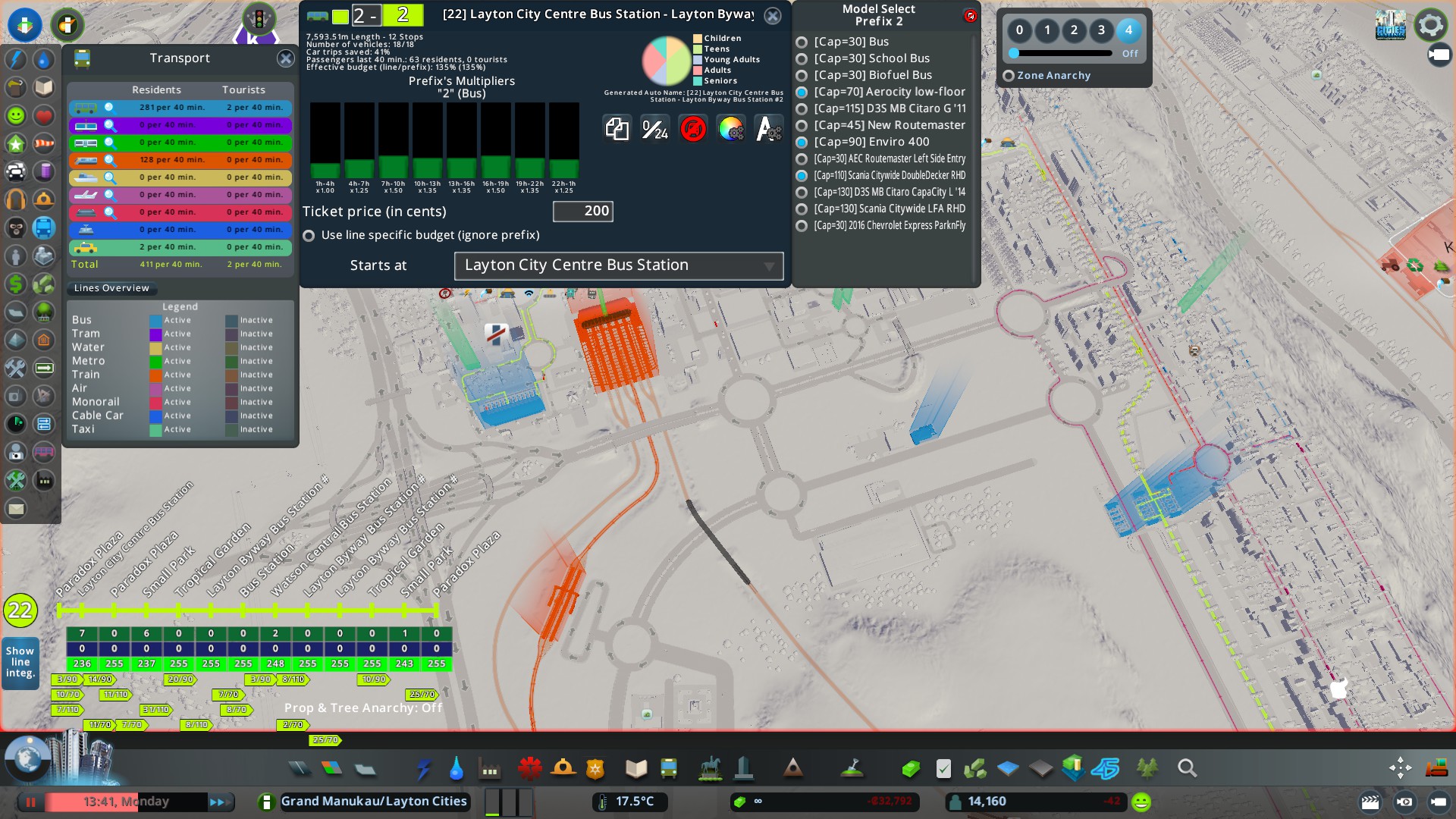
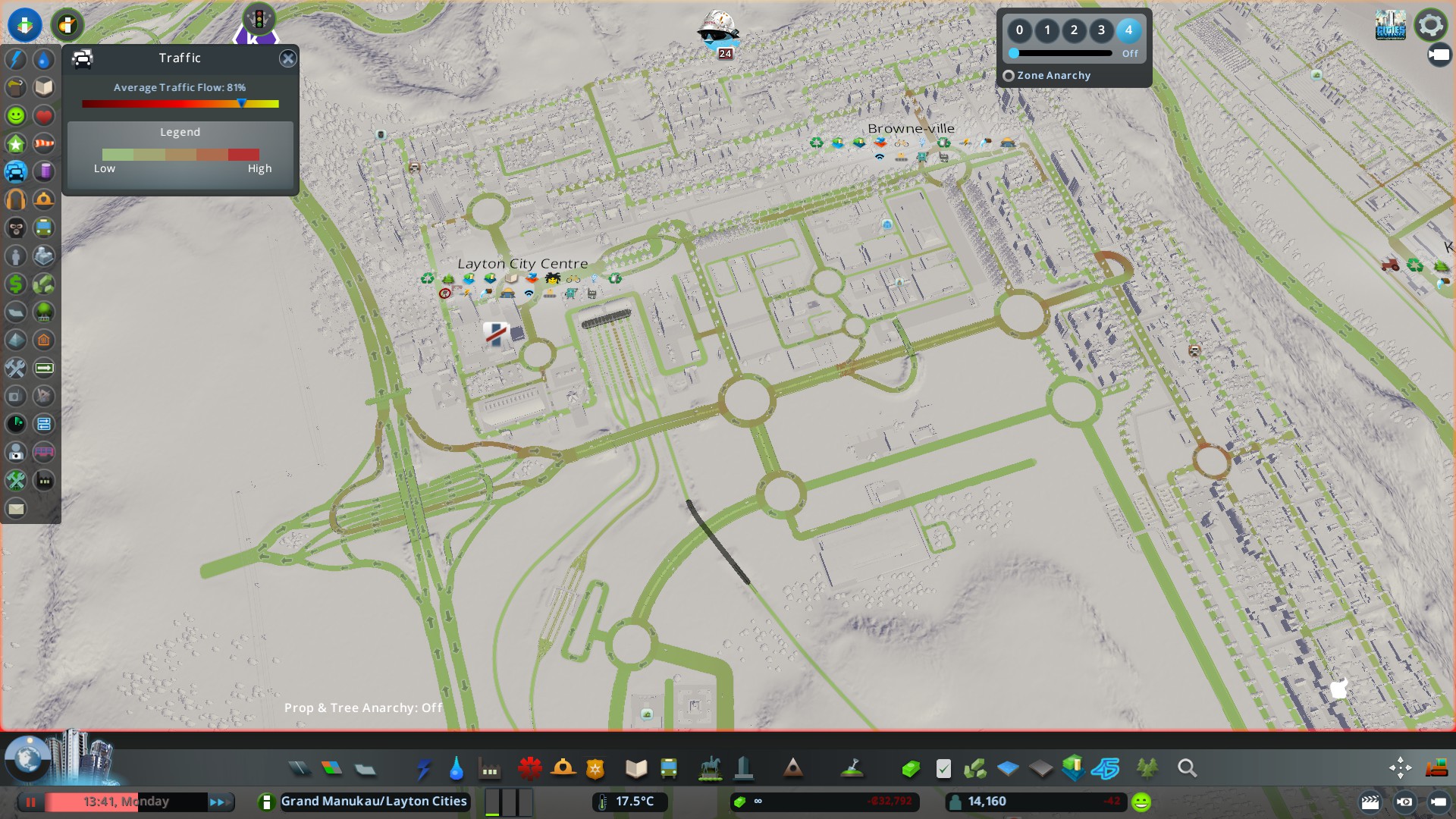
Using Big Data – Part 1
Using Big Data – Part 2: Using Data to fix a traffic problem (or did I make it worse)
Next week using the data sets I will continue expanding the Watson Heights Metropolitan Centre. Also MOAR HOUSING!
In the mean time – train safe!


Reblogged this on Talking Southern Auckland and commented:
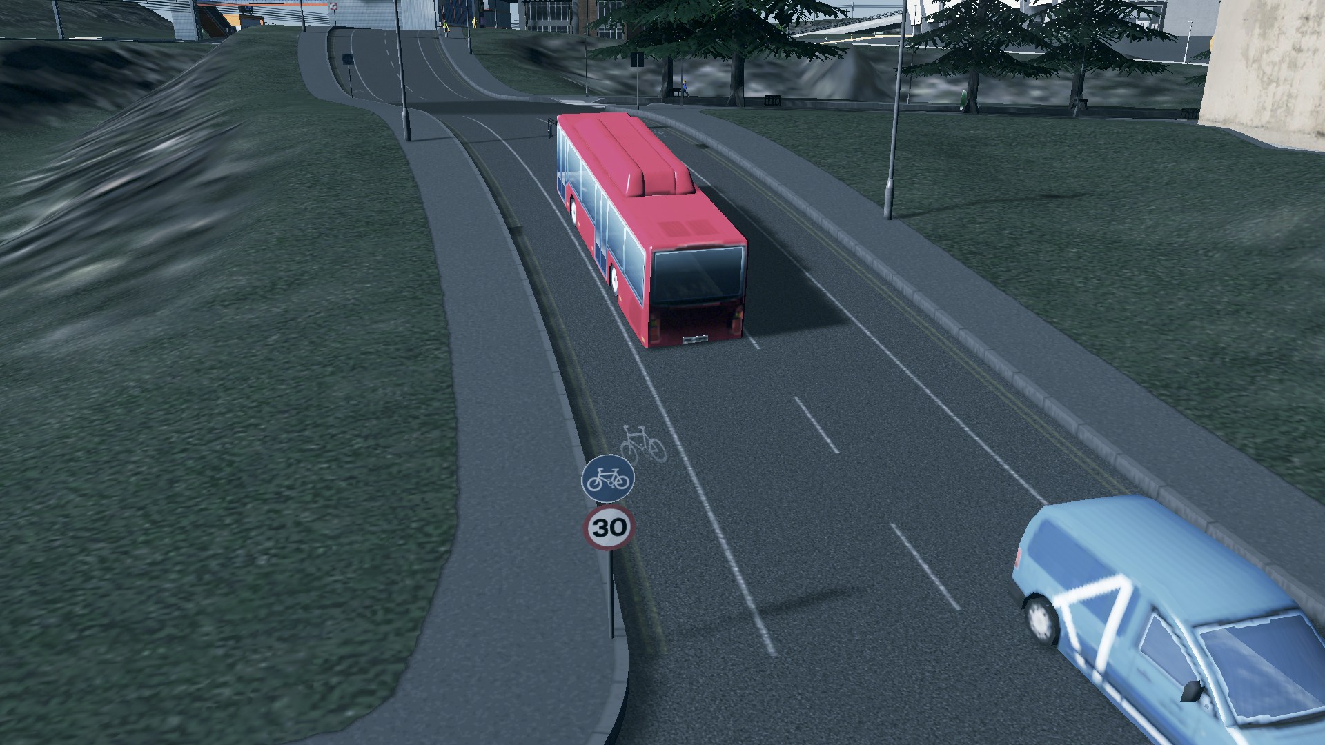
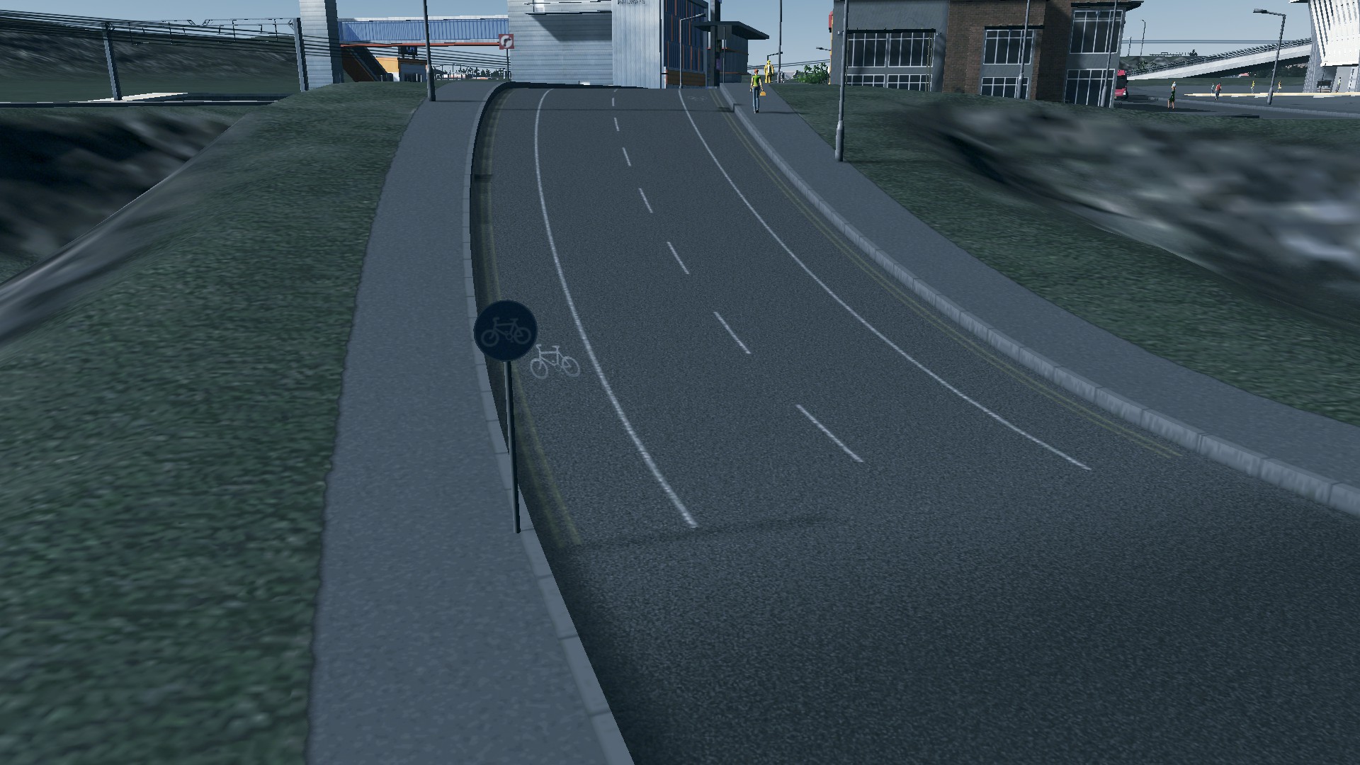
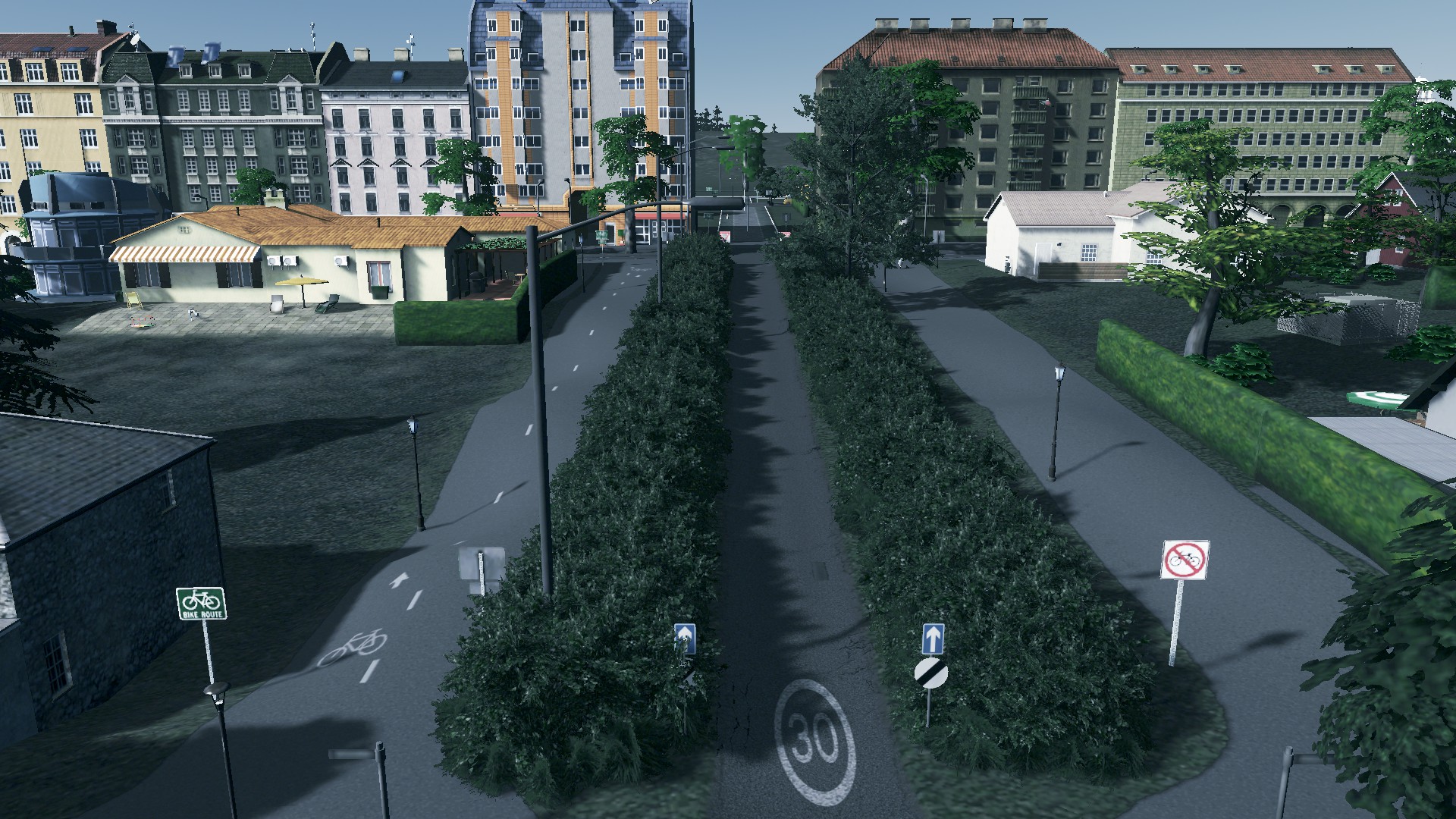
Using the data sets available in game I start problem fixing a congested intersection and checking out the transit lines.
I also respond to questions that are sent to the comments department. This week why the apparent focus on cars and buses and where are the low volume streets
LikeLike