San Solaria uncovered
If you have the Transport Line Manager Mod you are able to produce Metro-type transit maps of your City. At the moment it only covers Metro, heavy rail, tram and ferries but it looks pretty good for a product only in Alpha-testing.
I got a transit map set up for San Solarian City and this is what it looks like:
 TLM_MAP_San Solarian City_2044.02.03
Please ignore one of the tram lines going off the map as it seems one of the tunnels is causing a glitch out. But you can see the Metro lines (medium thickness), the tram lines (thin lines) and the ferries (dashed lines). If I had heavy rail going you would see thick lines also on the map. Bus lines are at the moment not included and if they were I hope they would be allowed to be published separately to save clutter in a large city.
The PDF version above is set to A2 paper size and best zoomed at 400% to get a clear look. The file itself is under a megabyte in size so it wont cause your phone to do a Three Mile Island on you.
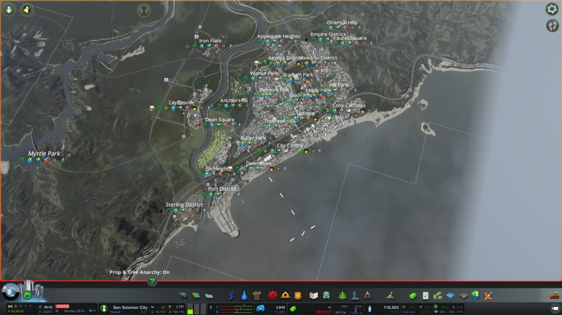
The above photo is roughly in line with the transit map so you can work out roughly how things are laid out.
As the city continues to expand so will the transit system. I will keep you posted on how it works out.
