From Blueprint to a Living Metropolis
Have you ever wondered why your home is on one side of town and the factories are on the other? Or why the subway entrance is precisely on that corner? These are not accidents; they are the result of urban planning, a discipline of deliberate choices that shape our daily lives. Building a city is one of humanity’s most complex and fascinating endeavours—an act of creation on a massive scale requiring foresight, strategy, and adaptation.
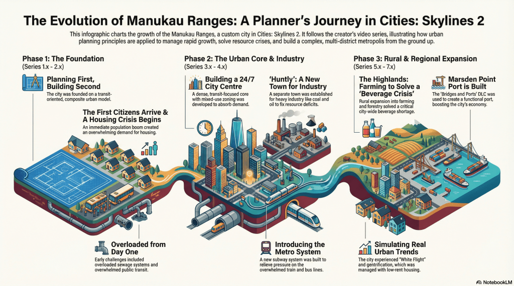
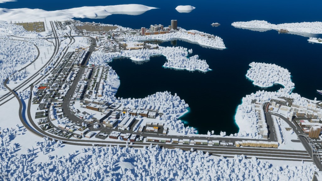
To explore this intricate process, we will follow the story of a digital city: Manukau Ranges. From its very first road laid on an empty map, this city will serve as our case study. By observing its growth, we can demystify the core principles of urban planning. This post will guide you through four fundamental concepts that transform an empty landscape into a thriving community: infrastructure, zoning, transit, and economic policy.
A slide deck of the development of Manukau Ranges up to the bringing online of Marsden Point Port
Note: It is an AI generated summary of the Manukau Ranges Series. An AI generated video summary is also at the bottom of this post. I also noted some errors in the slide deck with the spelling of Te Reo names. So the AI has work to do and I would need to fix the errors by exporting to PowerPoint. Still overall it got there and the urban renderings are interesting in of itself.
Let’s walk through Manukau Ranges story
1. The Bones of the City: Laying the Foundation with Infrastructure
Before a single home can be built or a person can move in, a city needs a skeleton. This foundational framework is its infrastructure. It is the essential, underlying structure upon which everything else is built.
1.1. What is Infrastructure? In simple terms, infrastructure is the collection of fundamental facilities and systems that a city needs to function. This includes its power grids, water and sewage pipes, communication networks, and, of course, its roads. A powerful analogy is to think of infrastructure as the “bones and organs of a city.” The roads are the skeleton, the power and water lines are the circulatory system, and the ports are the mouths through which the city breathes in commerce and breathes out its production. Without this foundation, a city simply cannot operate.
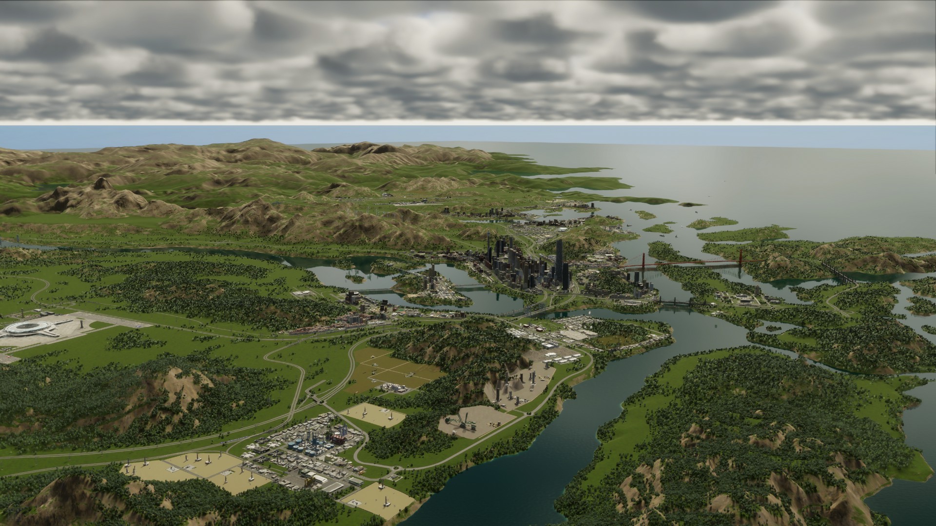
1.2. Manukau’s First Steps Here, the planner of Manukau Ranges demonstrates a masterclass in first principles. Before any zones for homes or businesses were designated, a core infrastructure grid was meticulously laid out, focusing on connection and essential services.
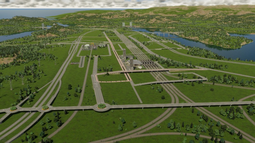
- Road and Rail Networks: The first elements constructed were the main highways and railway lines. These were designed to connect the future city to the outside world for trade and travel, while also defining the main arteries that would later guide internal growth.
- Power and Water: An initial power source was established using a geothermal plant and wind turbines. Simultaneously, a basic water system was built, including water pumps to draw fresh water and a sewer outfall to manage wastewater.
- Ports: To prepare for a future economy, both cargo and passenger ports were built from the very beginning, ensuring that the city would be ready to manage shipping and trade from day one.
1.3. Why Infrastructure Comes First By building the core infrastructure first, the planner created a functional grid upon which the rest of the city could be layered. This initiative-taking approach ensures that future residents will have access to electricity, water, and transportation from the moment they arrive, preventing major service failures as the population grows. This digital act mirrors the real-world establishment of frontier towns, where laying down a rail line or carving out a port was the critical first step in creating a viable settlement.
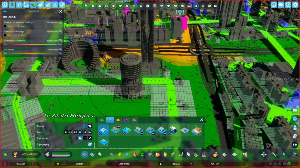
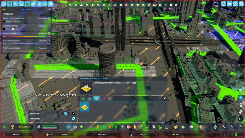
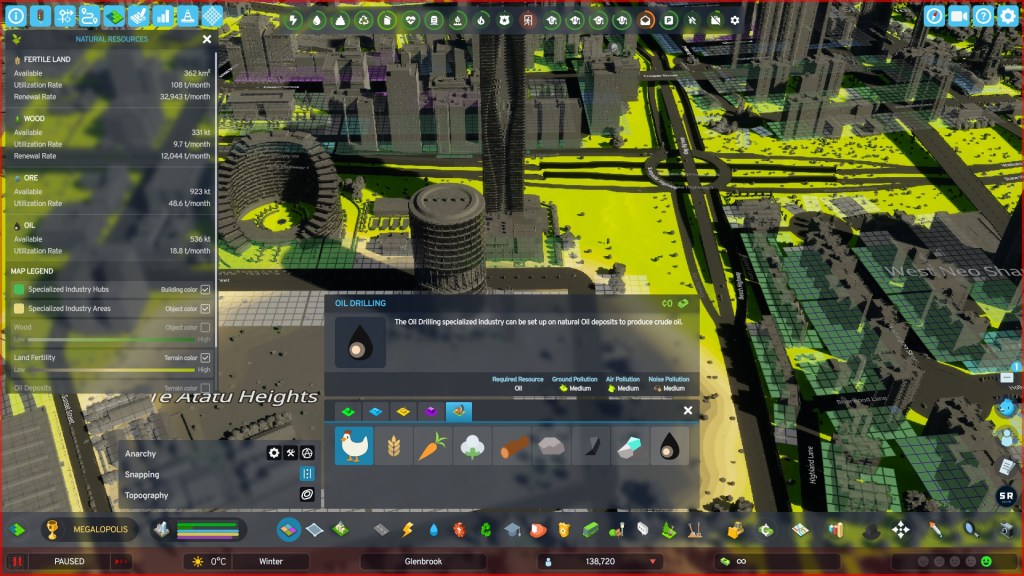
2. A Place for Everything: Deciding What Goes Where with Zoning
With the basic grid of roads and utilities established, the planner must now decide the purpose of each area. This critical process of organizing land use is known as zoning.
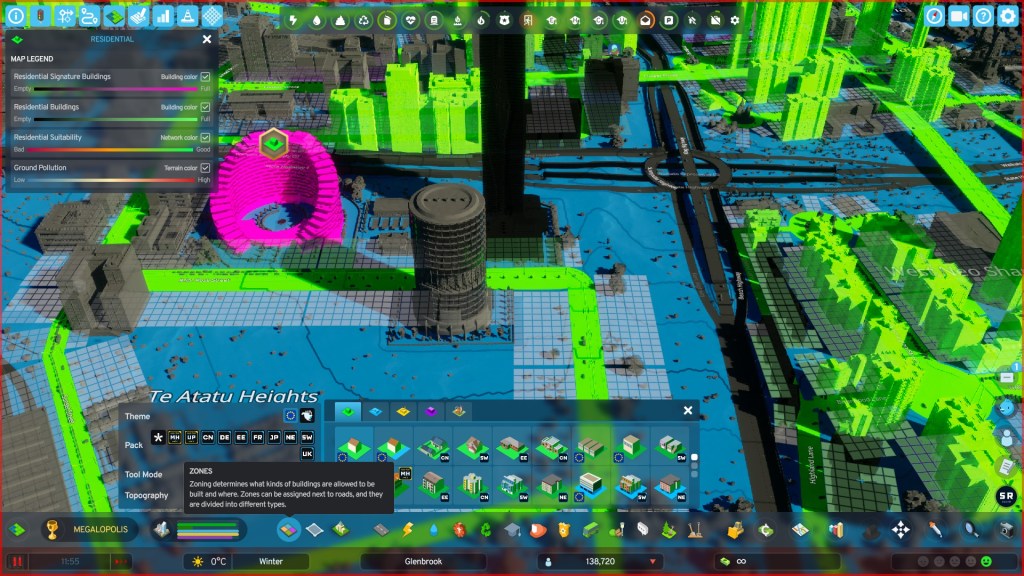
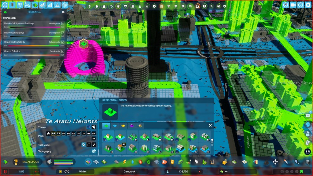
2.1. What is Zoning? Zoning is the process of dividing a city’s land into different districts or “zones” for specific uses. It’s essentially a rulebook that dictates what can be built where. The in-game source material describes it perfectly:
“Zone determines what kind of buildings are allowed to be built and where they are assigned to roads and divided into their different types.”
This separation prevents conflicts, like a noisy factory being built next to a quiet residential neighbourhood, and helps create a more organized, efficient, and liveable city.
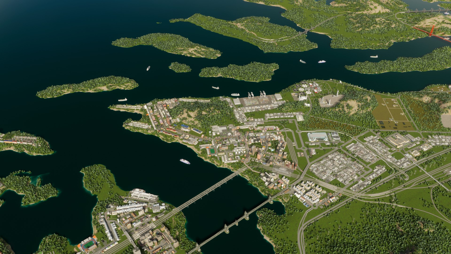
2.2. Zoning in Action in Manukau Ranges The planner of Manukau Ranges made several strategic zoning decisions from the start. Each choice was based on logical planning principles that had a major impact on the future quality of life for the city’s residents.
| Zoning Decision in Manukau Ranges | The Planning Rationale |
| Placing Industry Downwind | The planner first checked the prevailing wind direction on the map. Industrial zones, which generate pollution, were deliberately placed in areas where the wind would blow the pollution away from future residential areas. This simple act of foresight helps ensure healthier living conditions for citizens. |
| Creating Different Densities | The planner designated different residential zones. Low-density was marked for single-family homes, medium density for row houses, and high-density for apartment towers. This creates a diverse housing market, offering options for different income levels and life stages—from suburban homes for those seeking space to urban towers for young professionals—preventing the city from becoming a monolithic suburb. |
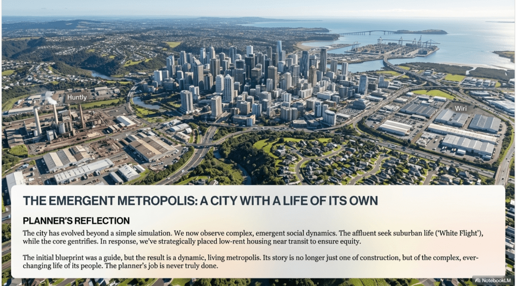
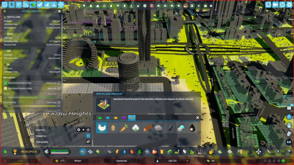
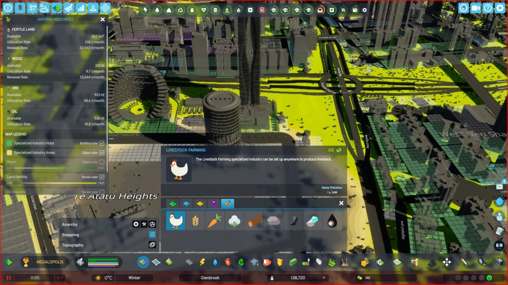
| Establishing a Specialized Town | A separate town, named Huntly, was established on the outskirts. This town was specifically zoned for resource extraction (coal and oil mining) and heavy industry. This decision provided essential resources for the main city without placing these disruptive activities near the city centre. |
The creation of Huntly is a digital parallel to the resource towns common in regions like Appalachia or Western Australia, where specialized economies are established to serve a larger metropolitan area.
The Zones in Cities Skylines 2.
Note, the base North American and Europe base zones are present as is some of the “overlays” from the various content packs.


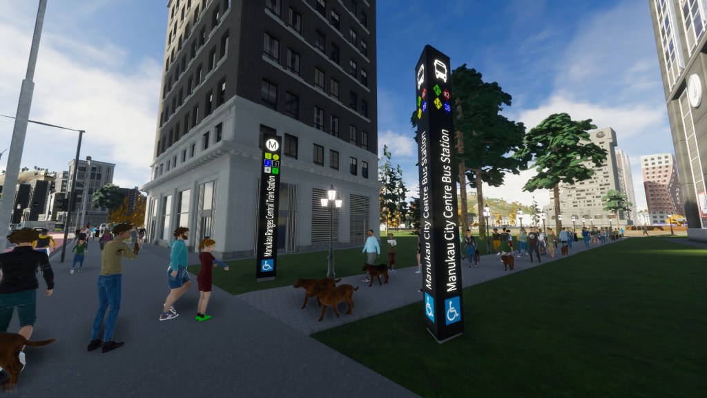
3. Connecting the Community: The Power of Public Transit
As a city grows and its population swells, relying solely on private cars becomes unsustainable, leading to congestion, pollution, and a less enjoyable urban environment. The solution—the lifeblood of any dense, modern city—is a robust public transit system.
3.1. Why Transit Matters The planner of Manukau Ranges understood that a city designed for people, not just cars, is more efficient and liveable. From the beginning, a “deliberate choice” was made to prioritize and build a comprehensive public transit network. This approach aims to provide residents with reliable alternatives to driving, reducing traffic and making the city easier to navigate for everyone.
3.2. Manukau’s Transit-First Approach Instead of a single mode of transport, Manukau Ranges was built with a multi-layered transit system, giving residents numerous options for getting around.
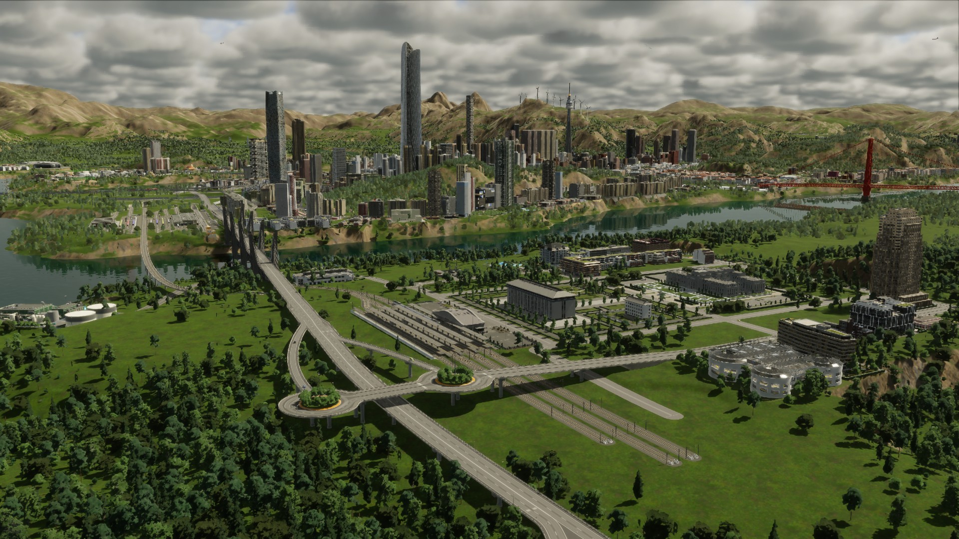
- A Comprehensive Network The city features a wide variety of transit types, including buses, trams, heavy rail (commuter trains), and a metro/subway system. This variety ensures that nearly every part of the city is accessible and provides citizens with multiple convenient options for their daily commutes without needing a car.
- A People-Focused City Centre In the heart of the city, a “transit mall” was created—a dedicated street reserved exclusively for buses, trams, and pedestrians. By removing general car traffic from this key area, the planner made the city centre more pleasant, safer, and more accessible for people to walk, shop, and gather, a strategy employed by real-world cities from Denver to Melbourne.
- Adapting to Growth Urban planning isn’t a one-time task; it requires constant monitoring. The planner performed regular “transit checks” and, upon seeing the commuter trains were overwhelmed, added a new subway line to manage the increased demand. This demonstrates a core tenet of effective planning: successful transit systems are never “finished.” They are living systems that must be constantly evaluated and expanded to meet the dynamic needs of a growing populace.
4. Steering the Ship: Using Economic Levers to Solve Problems
Urban planners don’t just work with concrete and steel. To guide the city’s complex economic engine, they also use financial policies as fine-tuning instruments to keep it running at peak performance, encouraging desirable activities and solving specific problems as they arise.
4.1. What are Economic Levers? Economic levers are financial tools, like taxes and subsidies, that a city government can use to guide its economy. By lowering taxes on a specific industry, a planner can encourage its growth. Conversely, by increasing taxes, they can discourage certain activities. In Manukau Ranges, the planner used a subsidy—a direct financial boost—as a targeted tool to solve a supply chain crisis.
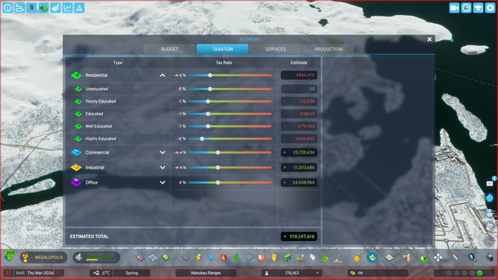
4.2. Solving the “Beverage Crisis” with a Subsidy At one point in its development, Manukau Ranges faced a peculiar but fundamental problem: a “beverage crisis.” The city was simply not producing enough drinks for its citizens, leading to a resource shortage. The planner’s solution was a precise economic intervention.
- The Problem: The city’s production chains had a bottleneck, resulting in a shortage of beverages for commercial shops and residents.
- The Solution: The planner applied a subsidy to both the factories that produce beverages and the commercial shops that sell them. This financial incentive made it more profitable for these businesses to operate.
- The Goal: The planner’s reasoning for this move was clear, stating this was an example of “using a bit of government intervention to try and get on top of a situation where we do actually have a resource problem.” The subsidy was a targeted lever designed to stimulate a specific part of the economy and resolve the shortage without disrupting other industries.
Conclusion: The Never-Ending Story of a City
By following the creation of Manukau Ranges, we’ve seen how a few core concepts are used to build a city from the ground up. These principles are not just elements of a game; they are the fundamental tools that urban planners use to shape the world around us.
4.1. The Planner’s Toolkit The journey of Manukau Ranges introduced us to four essential tools in the urban planner’s toolkit:
- Infrastructure: The foundational bones and organs that allow a city to function.
- Zoning: The rulebook that organizes land, creating distinct areas for living, working, and industry.
- Transit: The connective tissue that moves people efficiently and creates a more accessible community.
- Economic Levers: The fine-tuning instruments used to guide the economy and solve specific problems.
4.2. A Living, Breathing Project Ultimately, the story of Manukau Ranges reveals that urban planning is not a static blueprint but a dynamic, continuous process. It involves constant observation, adaptation, and a willingness to learn from mistakes. As the planner of Manukau Ranges reflected, the process is one of trial and error:
“The decisions are not always… good… but you work through it and you fix them up.”
The next time you walk through your own city, look closer. You are walking through a living story, written in the language of infrastructure, zoning, transit, and policy—a story that, like Manukau Ranges, is never truly finished.