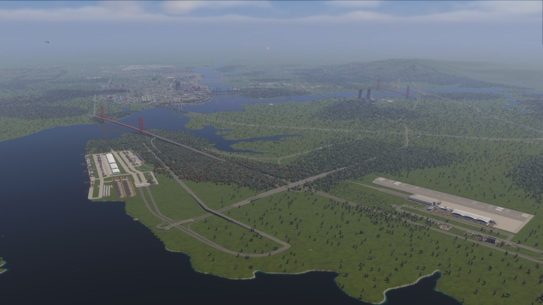
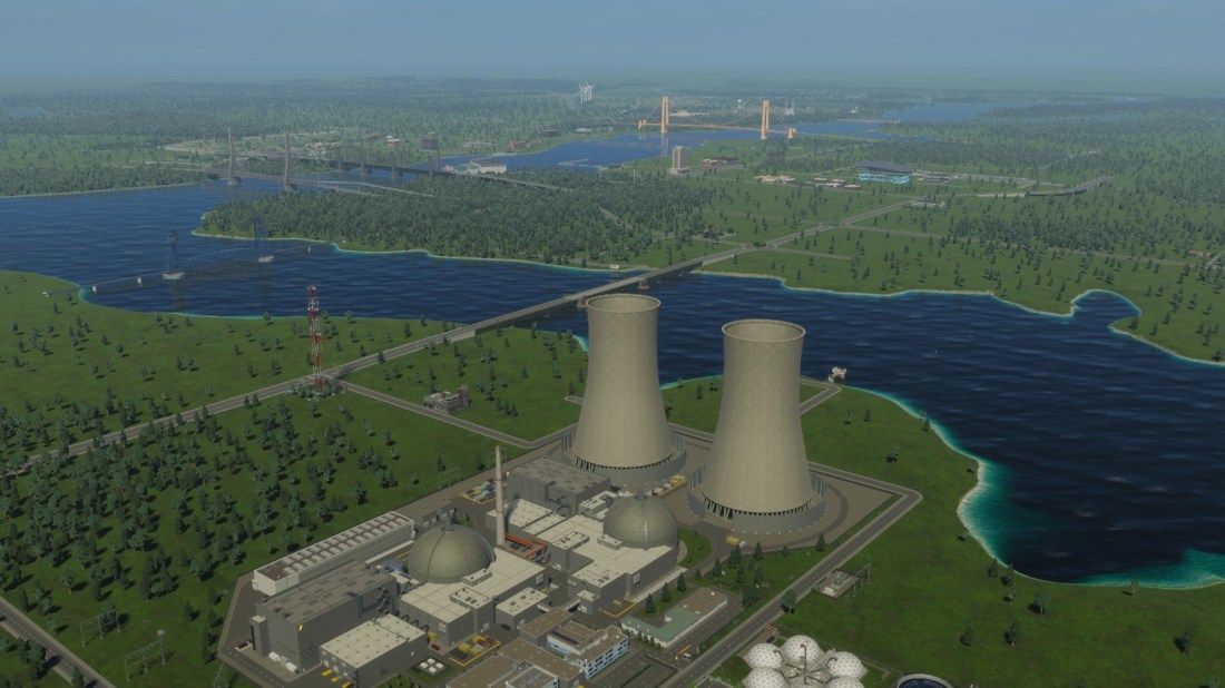
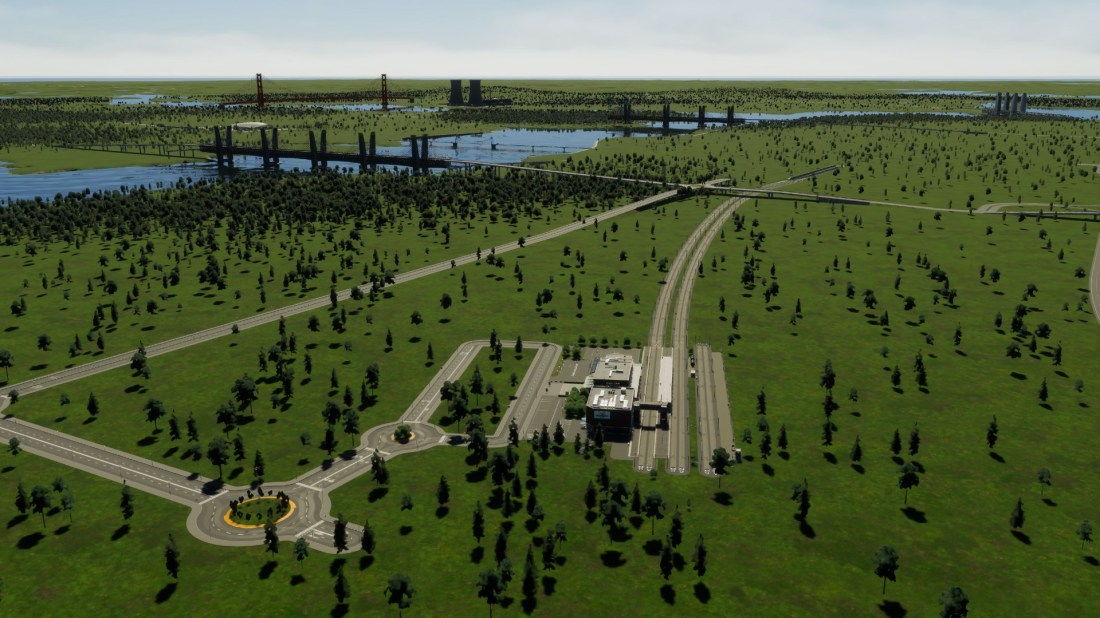
Time for those Bridges, Ports, Railways and Highways Bridges, Ports, Railways, and Highways. No endless business cases, no political partisan pontification, no dithering apart from a fast growing city catching me a tad short. Just a spatial plan, a long-term-plan, and some serious construction! With Waikato hitting 60,000 (large town or small city status) it […]

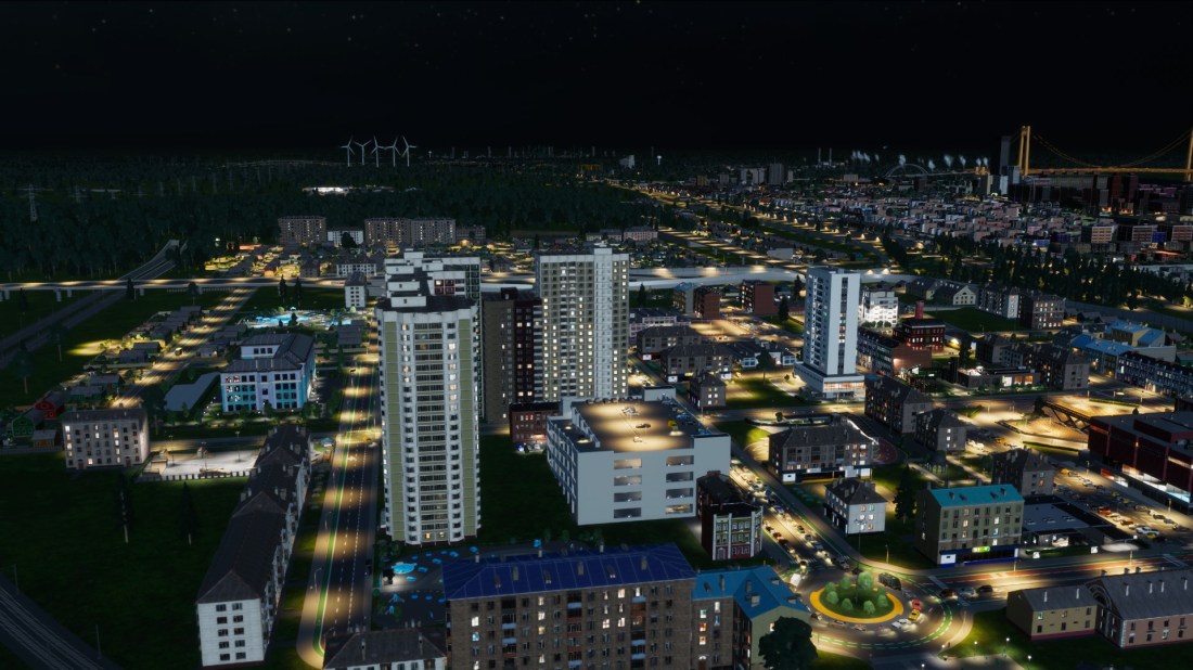
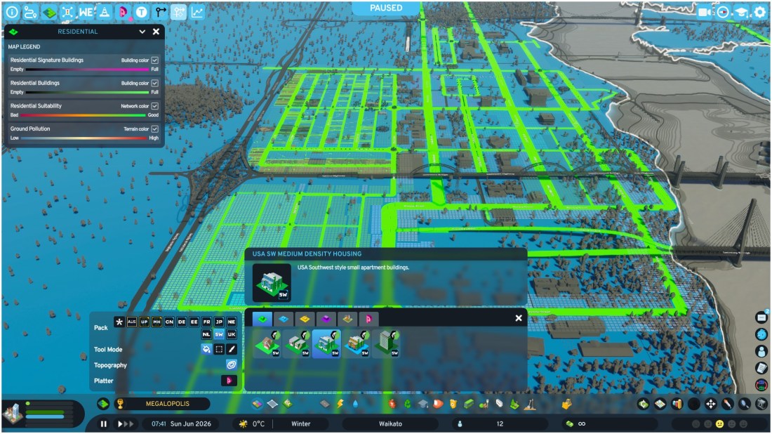
Time for our first review, talking expansion, and some more chaotic driving again Our first cims and businesses have settled in, and Waikato has exploded already to nearly 50,000 cims. That puts it on large town – small city status already, and that means I have my work cut out. But let’s take a look […]

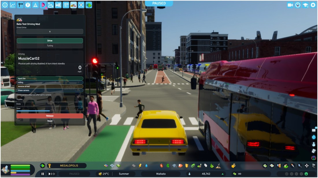
Driving Mod allows you to drive your mean streets of your city! Time to drive the streets of Waikato in Cities Skylines 2! And yep we have all the loving jank that goes with it ^_^ Remember the days of Streets of Sim City? Where you could import your Sim City 2000 creations and drive, […]

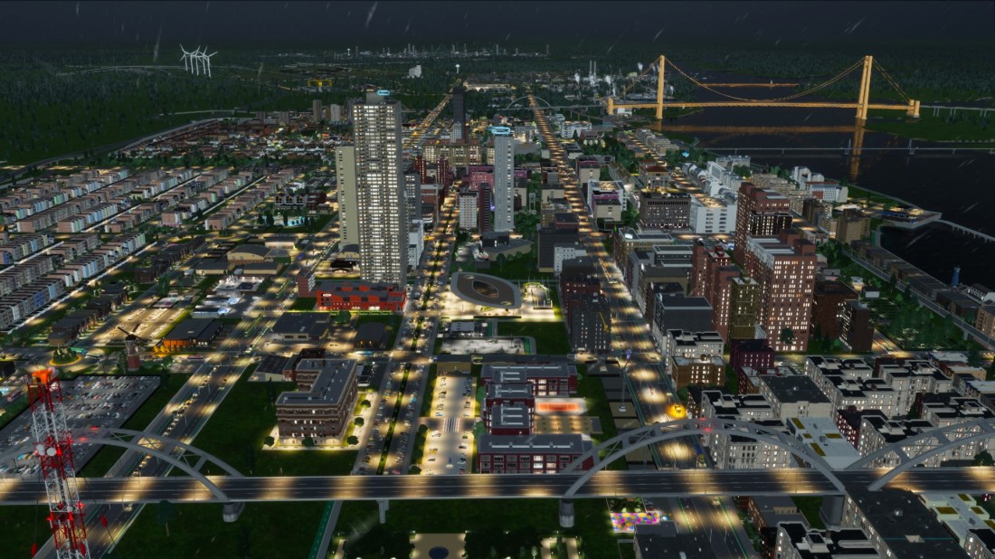
Huh? 42,000 cims already? Stormy Weather does not stop excited cims moving into new city! The weather might be a bit yuck but that does not stop our first 8,000 cims arriving by car, train and coach (bus) to stake their claim as the first residents of Waikato. Captains of industry also also scrambling as […]