Some 700 photos – and been slacking off a bit
Some 700 photos between March and now means I have been slacking off a bit with updates to my cities here.
I won’t share all 700 in this post as that is picture OVERLOAD for anyone. So over the next few posts I will be staging all the photos including data sets for Manukau while sharing the Urban Geography story through Cities Skylines.
In the run up to upgrading the City Centre
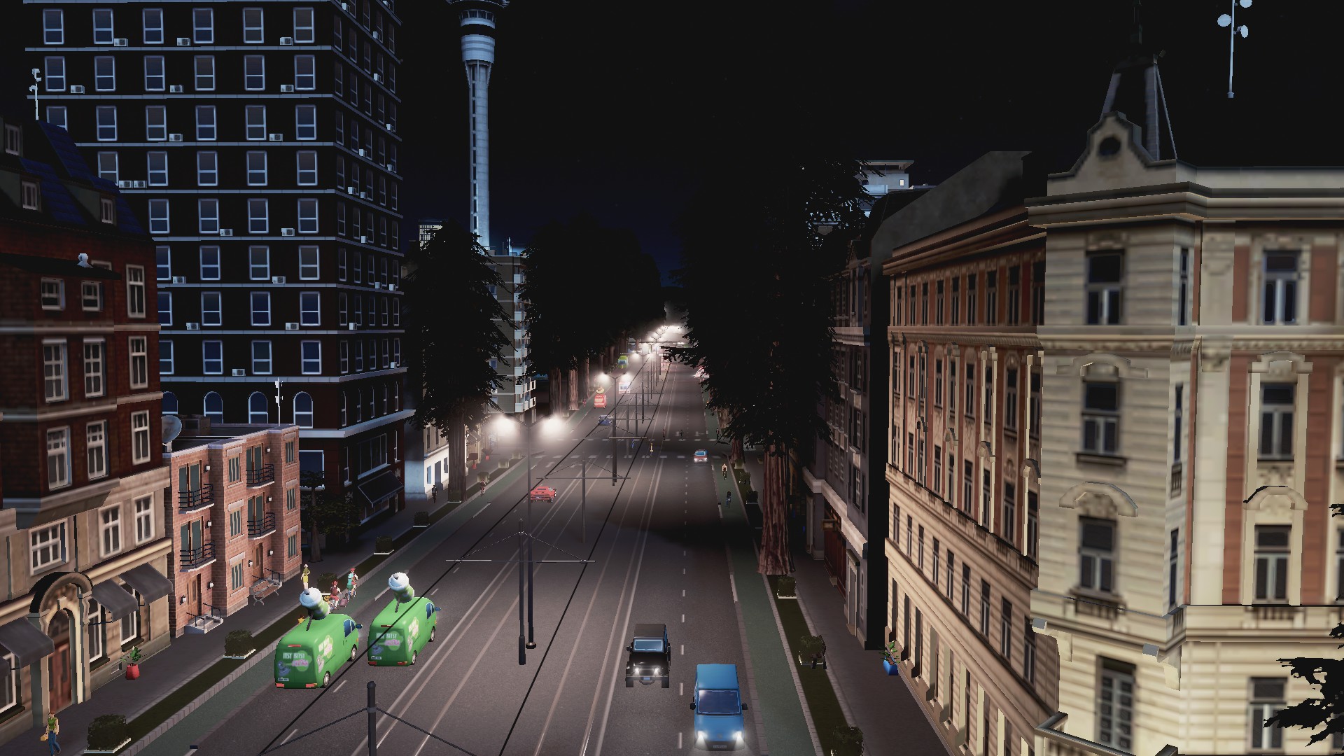
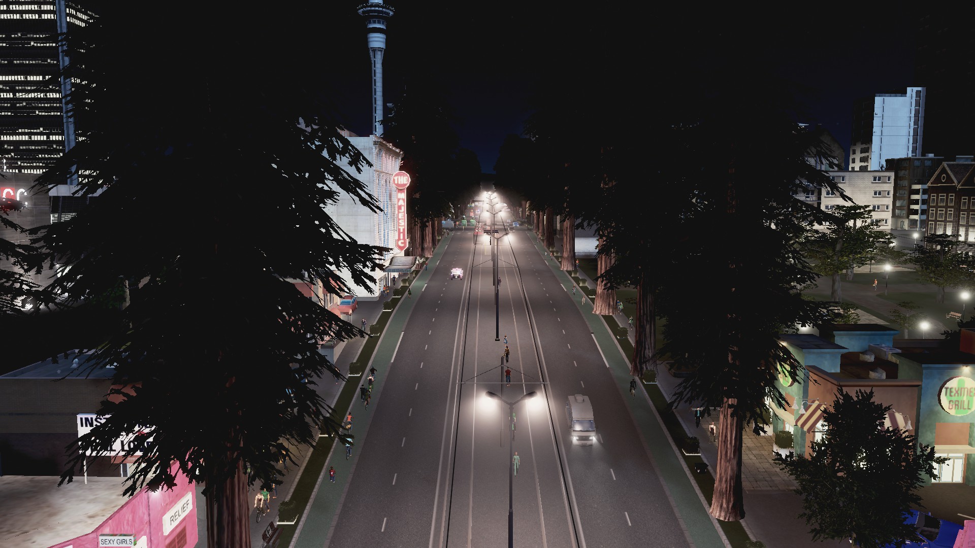
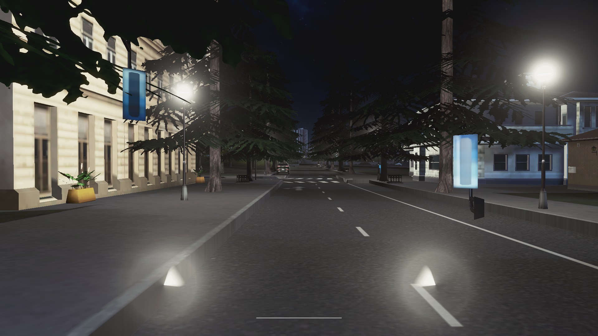
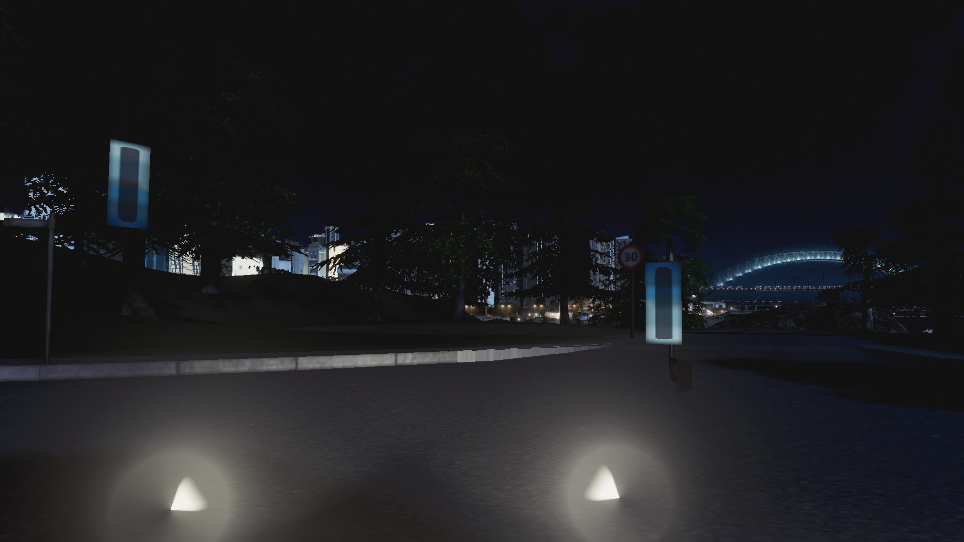
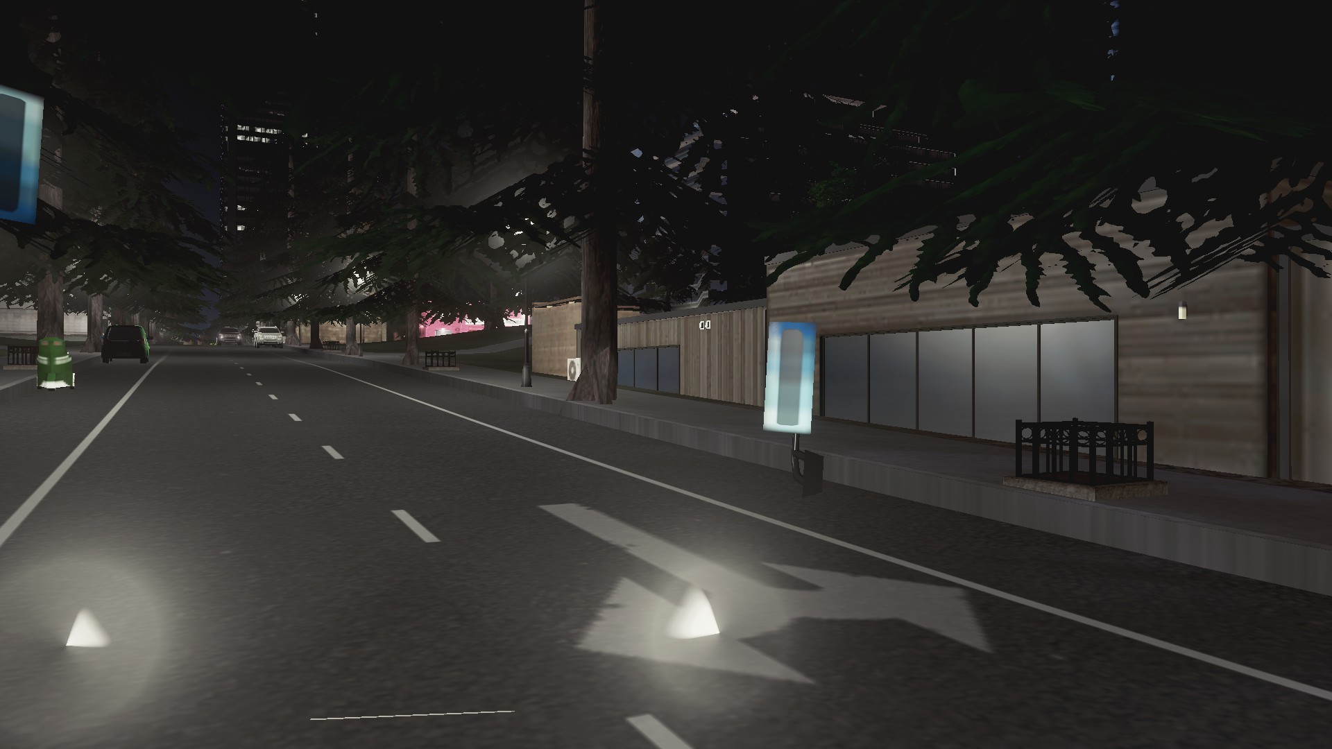
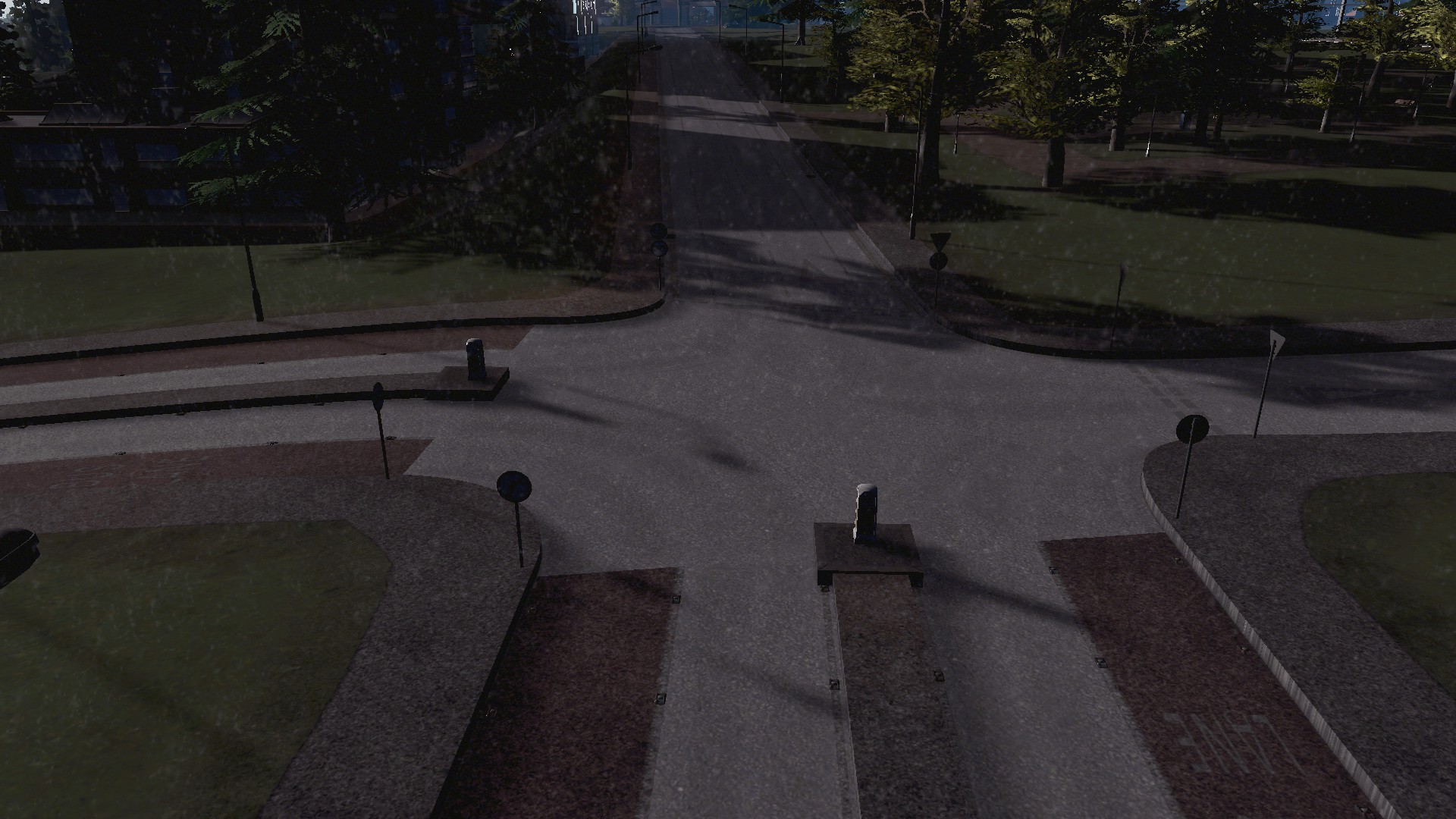
Manukau City Centre and Downtown have received upgrades over the last four weeks as well some urban expansion including a new technology park. In the run up to those photos lets take a look at where we are at the moment with game-style in Manukau.
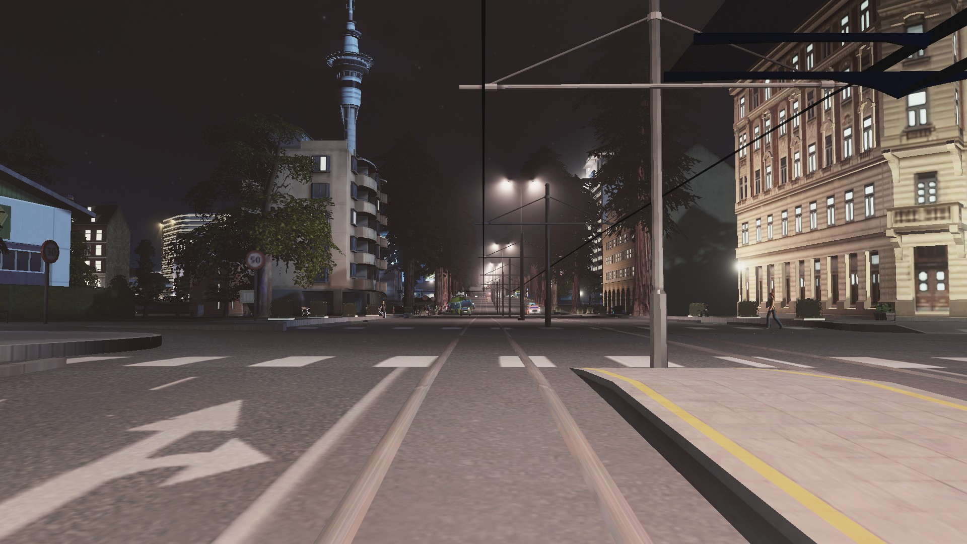
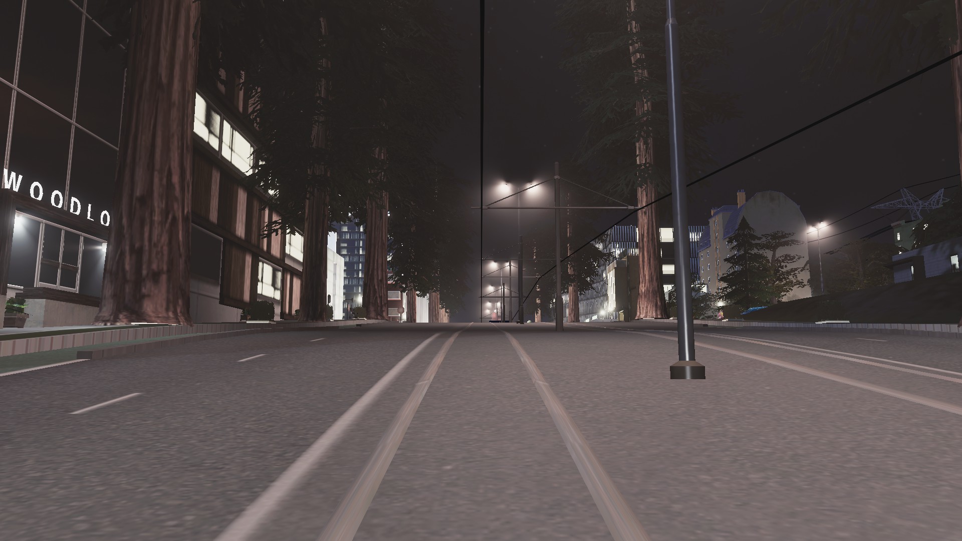
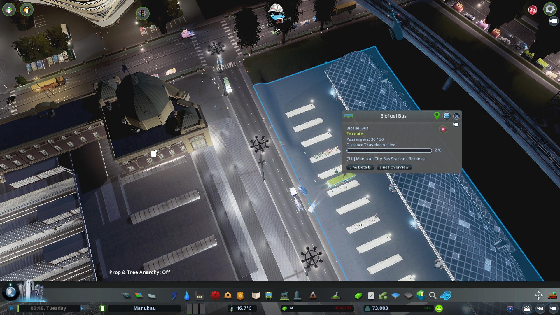
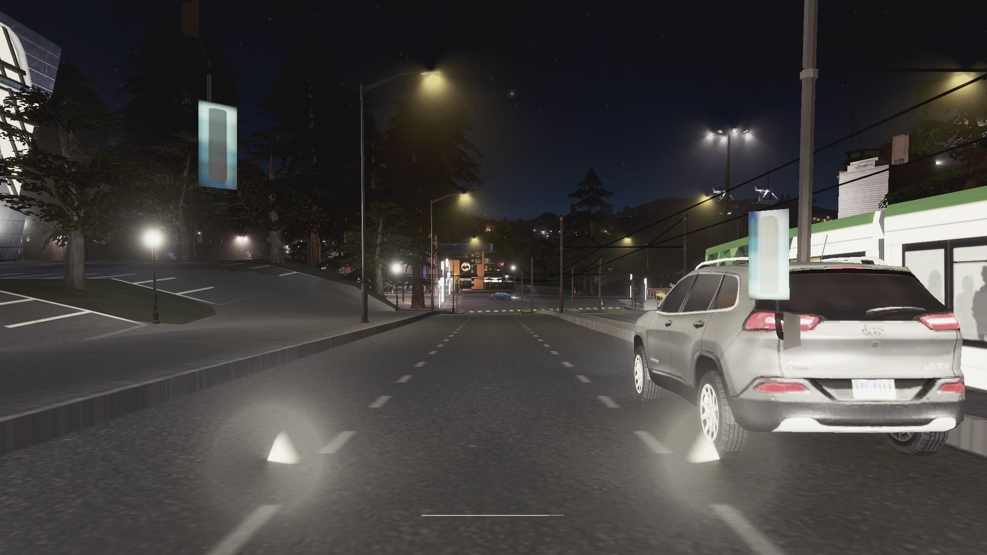
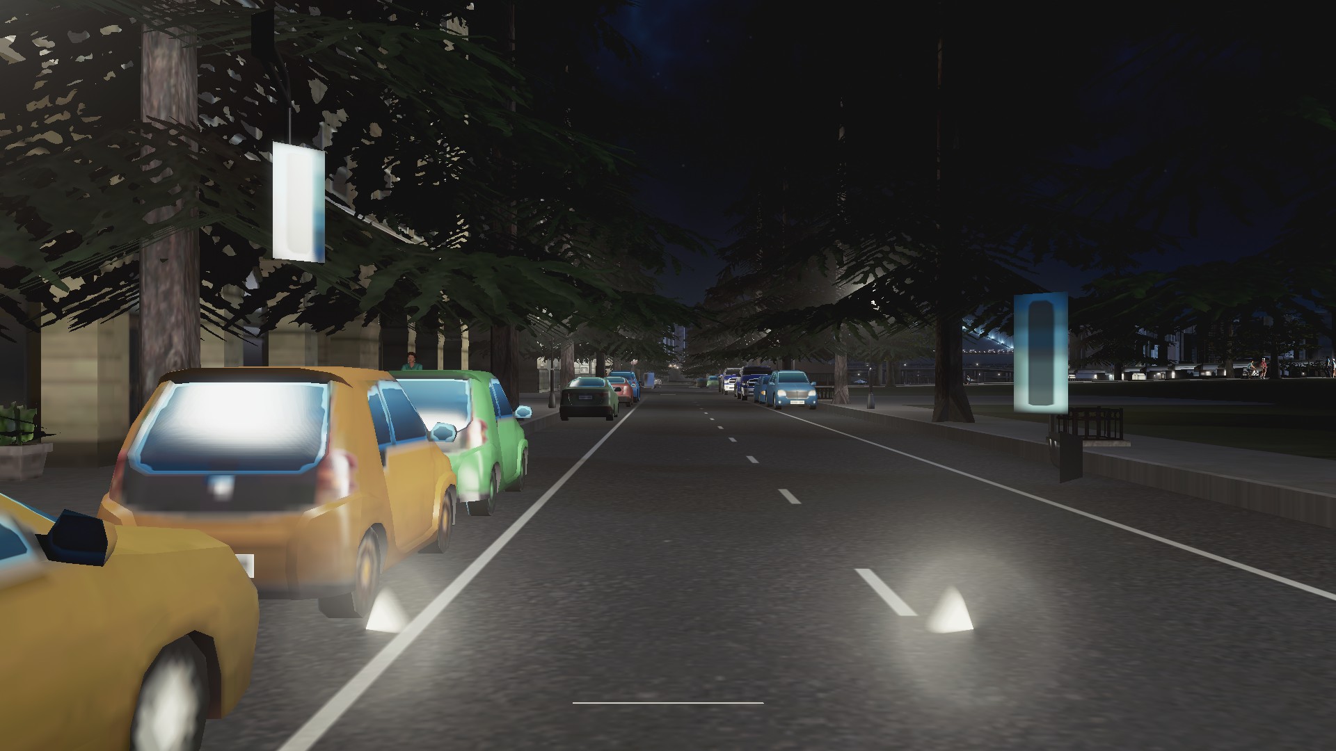
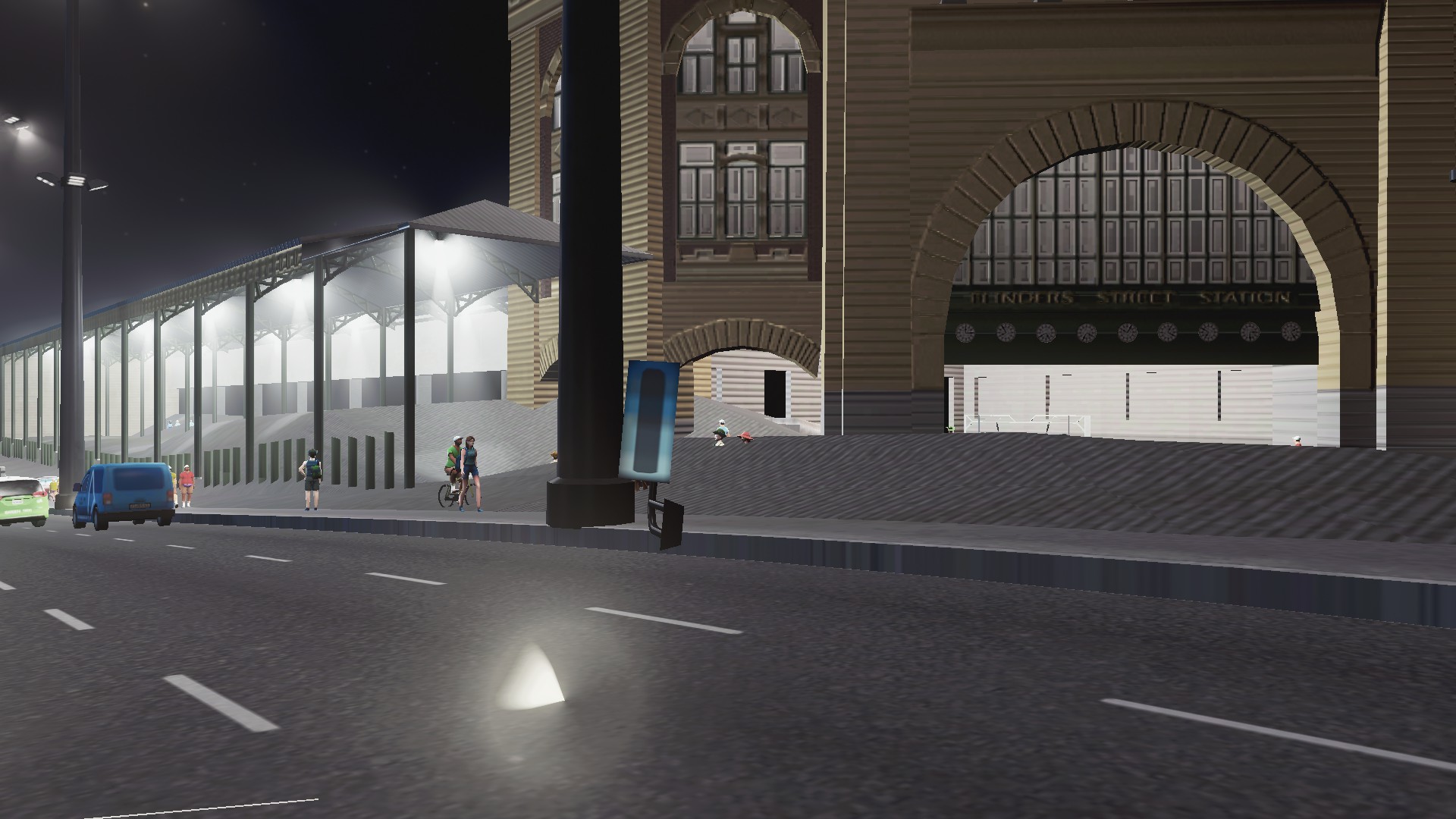
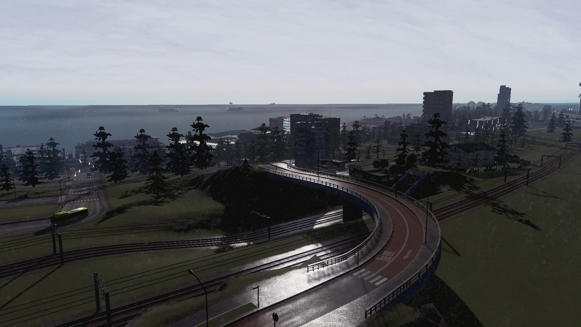
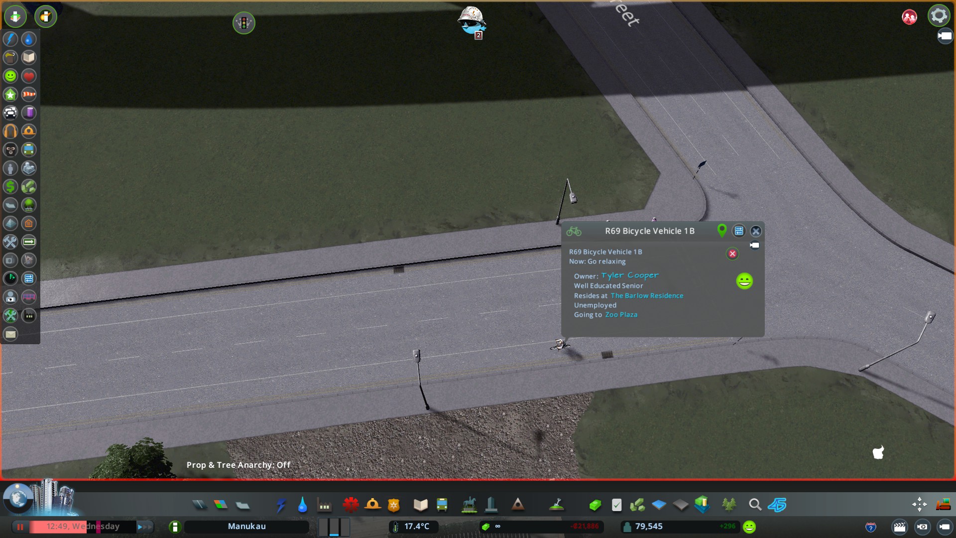
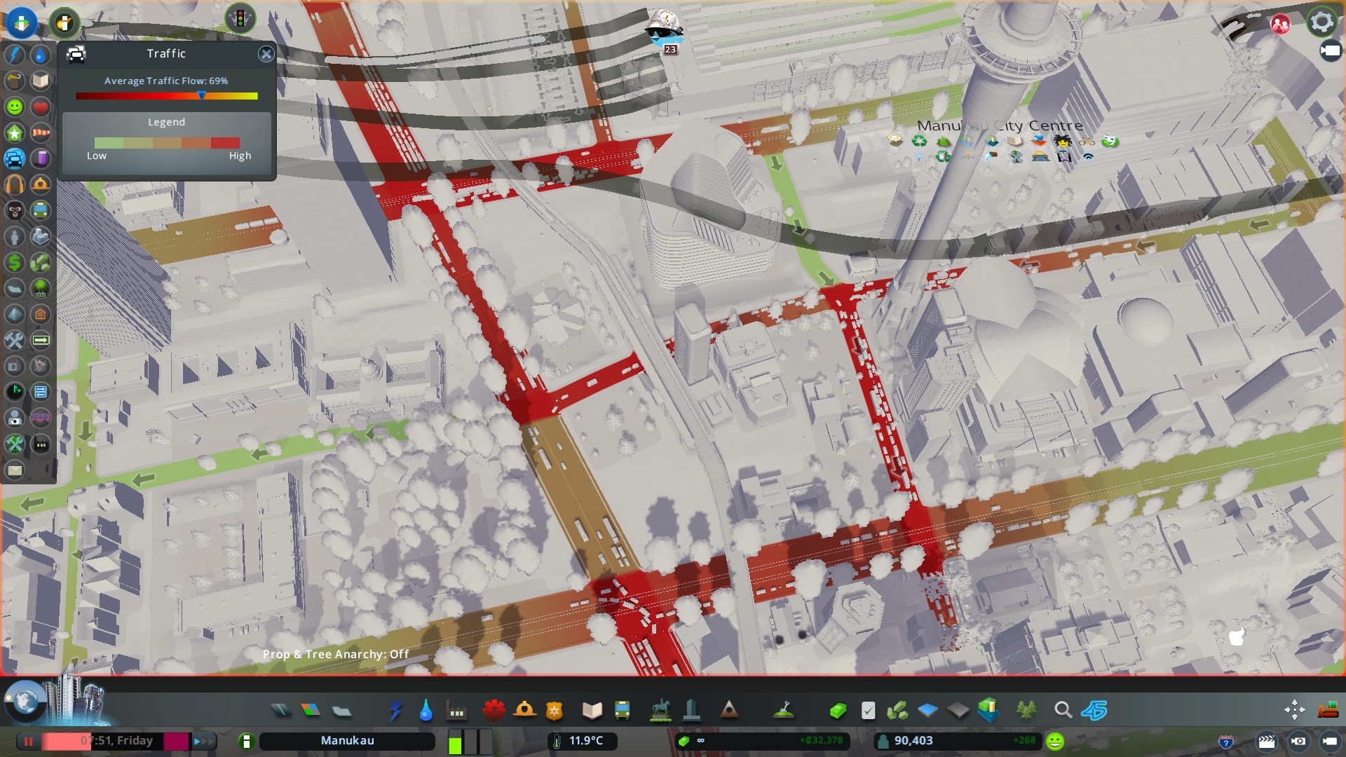
Starting with the trams that run through the City Centre and Downtown of Manukau
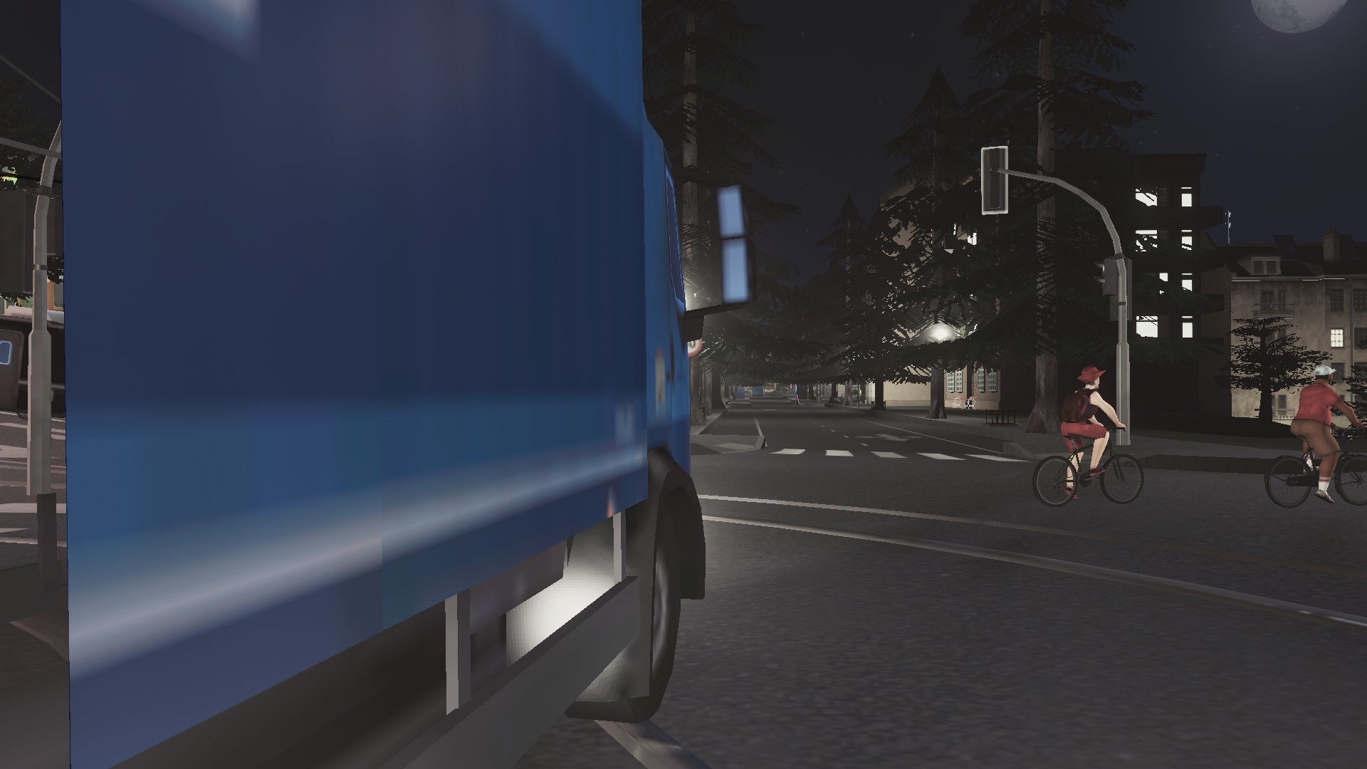


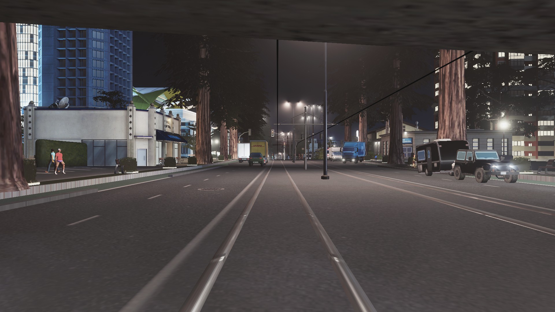


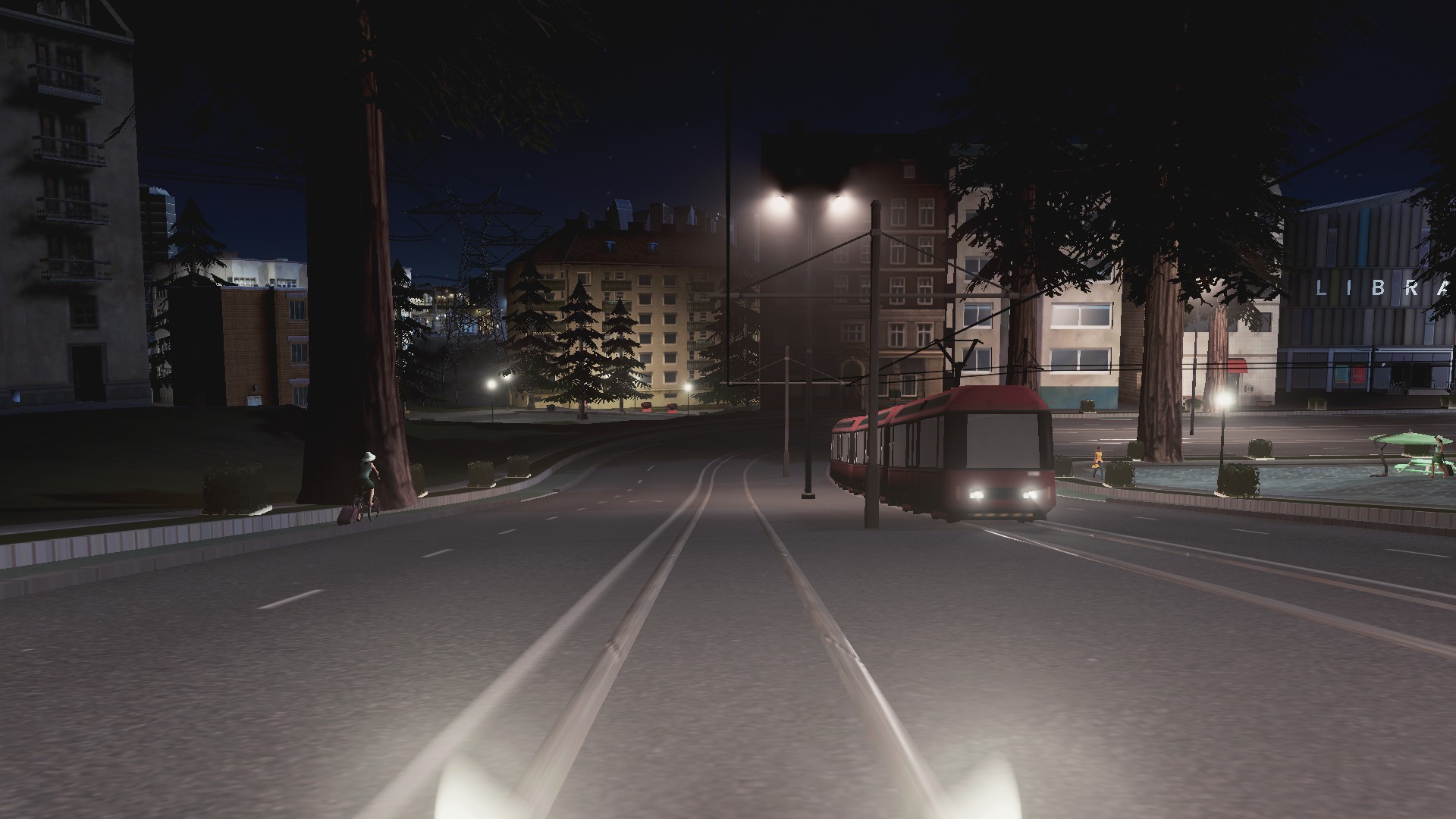


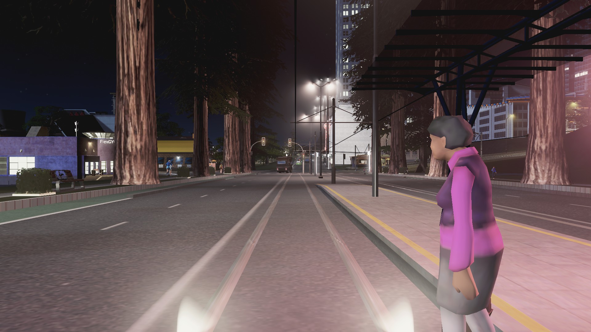


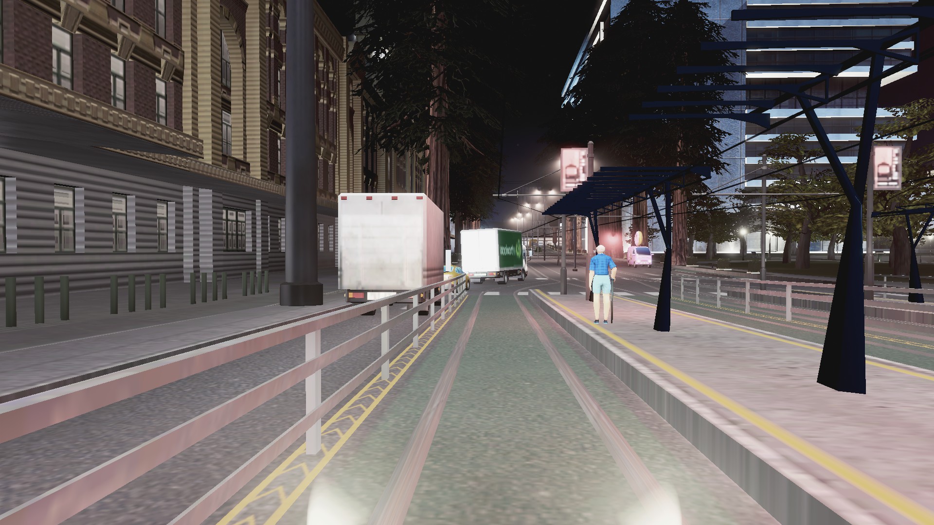
Trams in Cities Skylines are particularly useful as they can move towards 300 passengers per rolling stock unit compared to my largest bus (a bendy bus) moving 135 passengers. Unlike heavy rail and Metro Rail trams are integrated into the urban area (no severance) and can blend other features like cycle ways. Trams are also quieter than monorails as well.


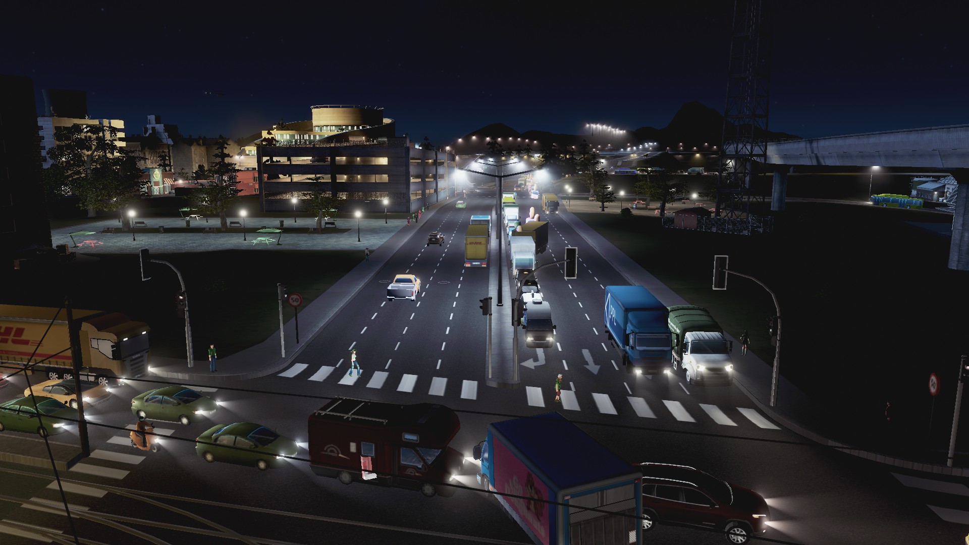


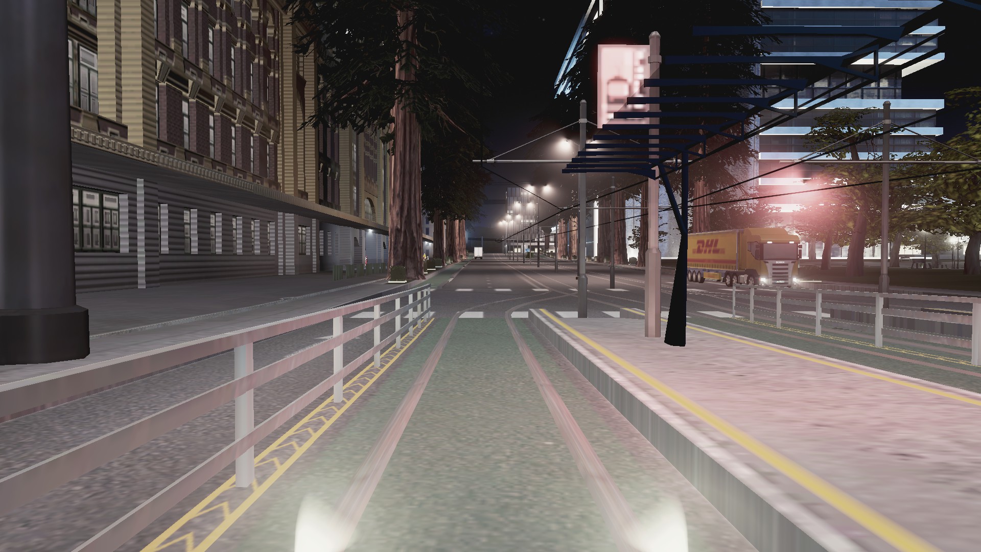
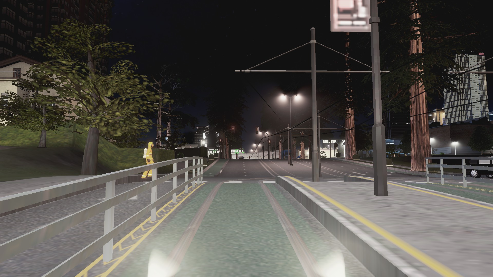
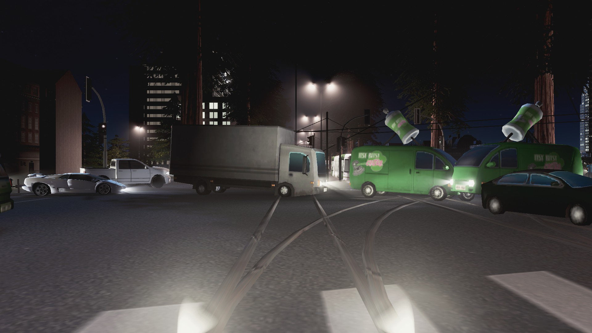
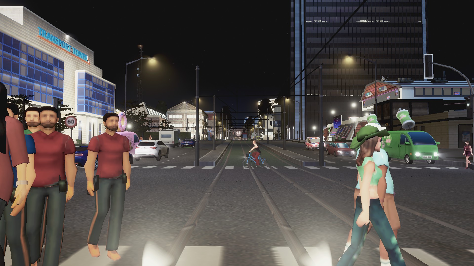
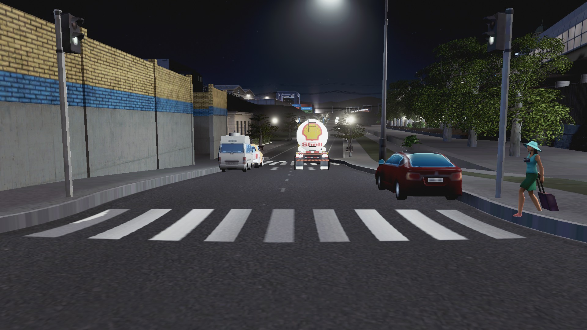
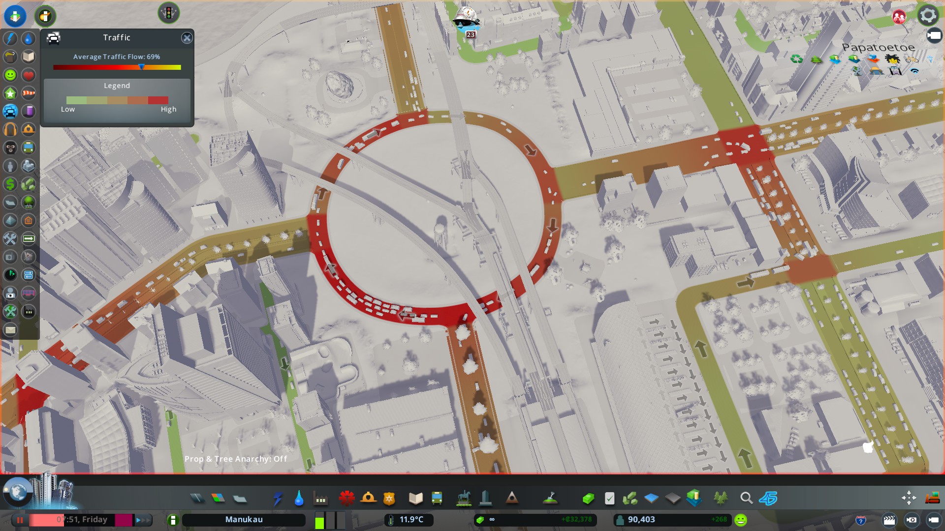
The main problem is they are at grade with the traffic and get caught at intersections causing congestion as seen below:

I am going to have to bite the bullet and replace the trams with monorail which takes the same road as trams but is elevates – so not fouled by intersections. Noise is easily mitigated mind you through trees and some rezoning (commercial loves monorail stations, residents don’t). Ah well onwards and upwards!
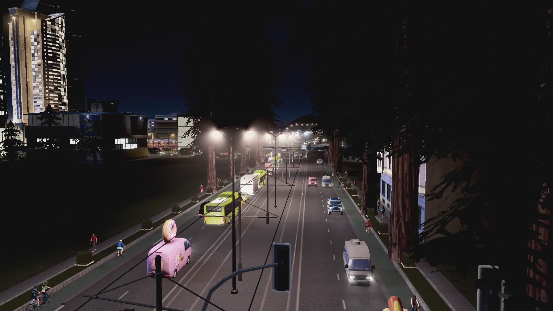
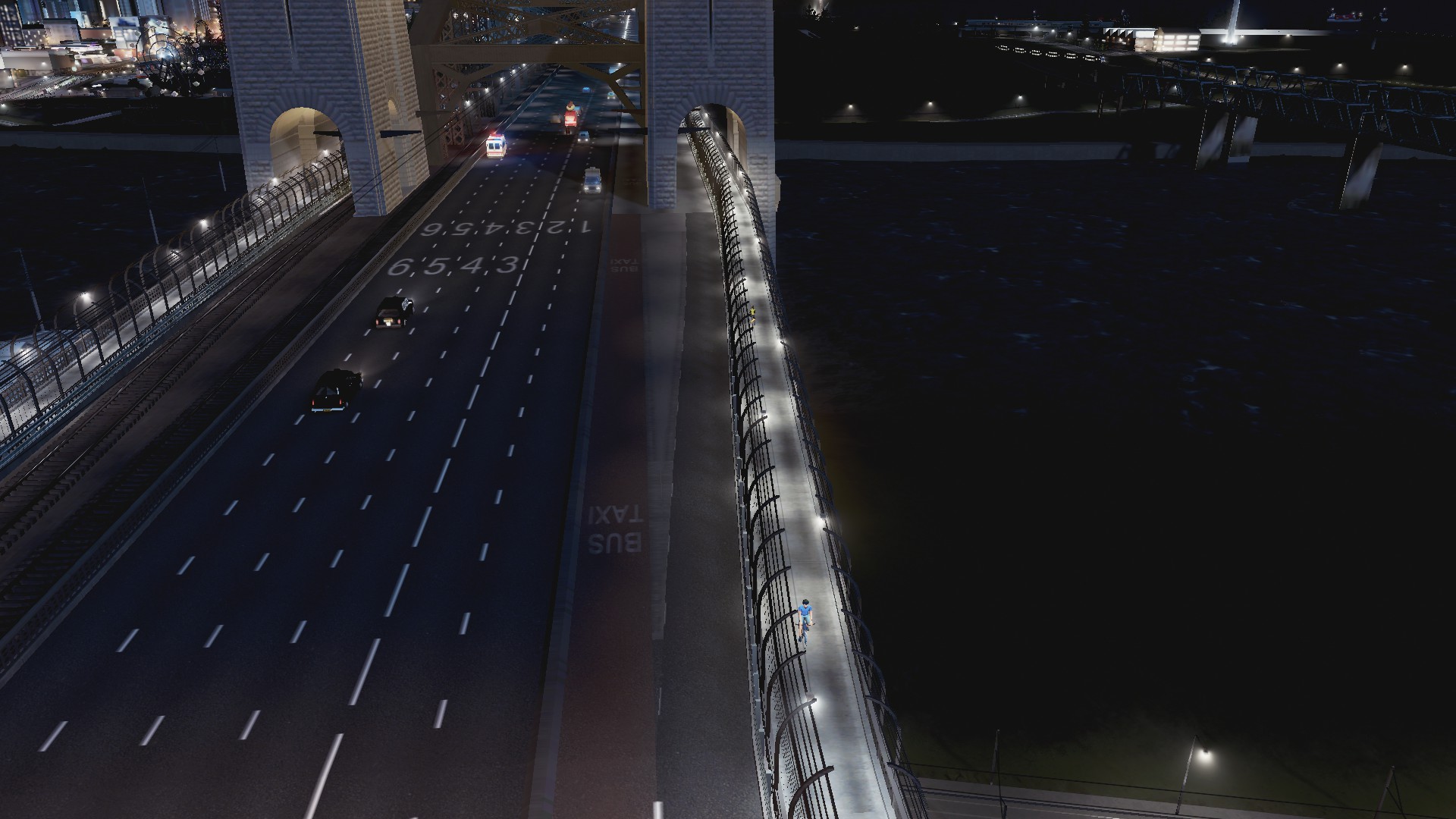
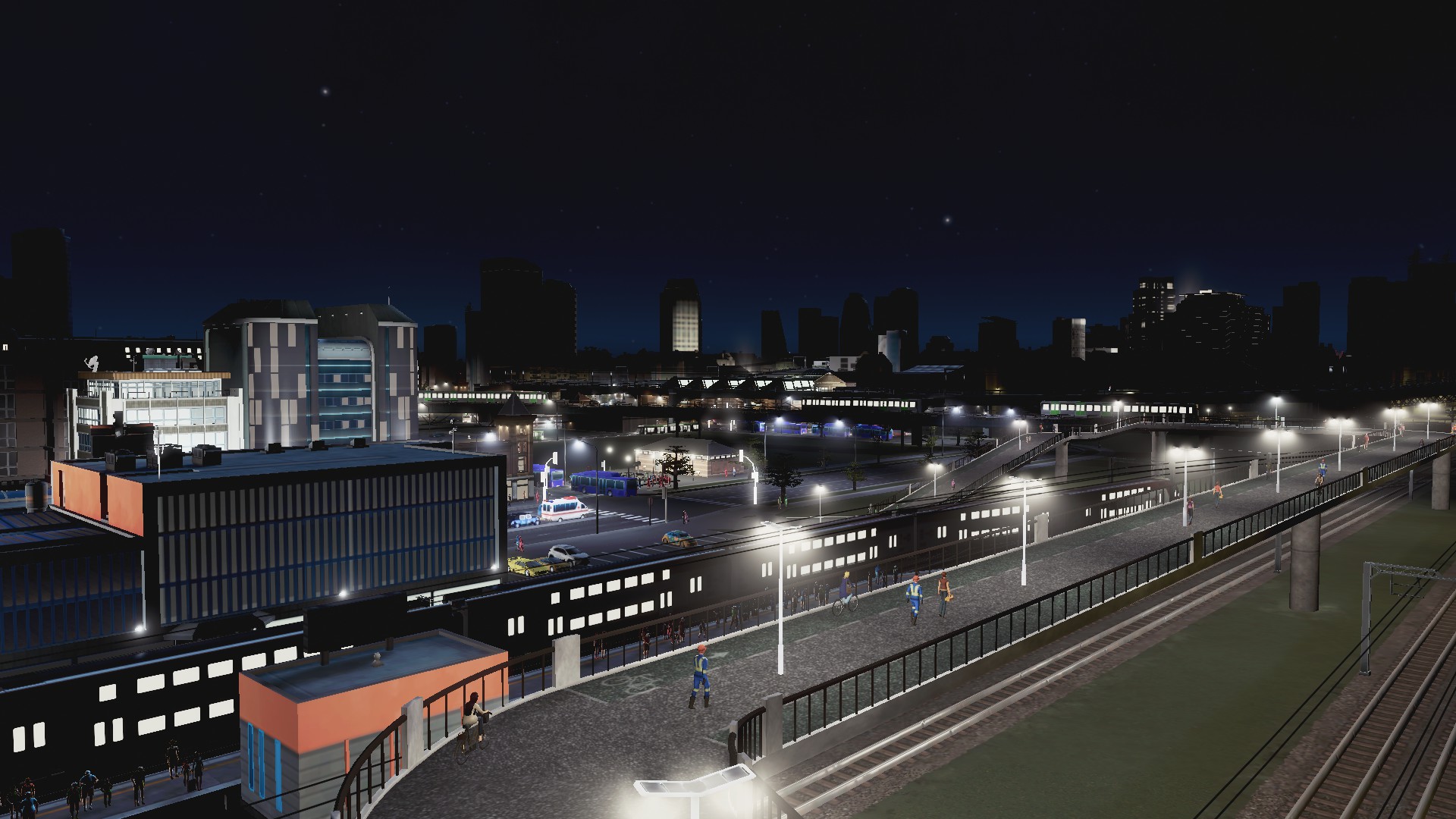
Buses
My workhorses of the transit fleet:


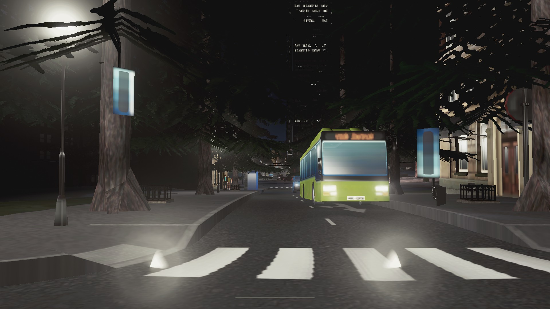


Buses I divided into three classes to make most of their flexibility:
- Light: these are feeder busses running every 15-20mins either all day or in daylight hours. These as they say they do feed into larger transit lines and will seat between 30-70 people per bus. Bus priority not often used except near transit hubs
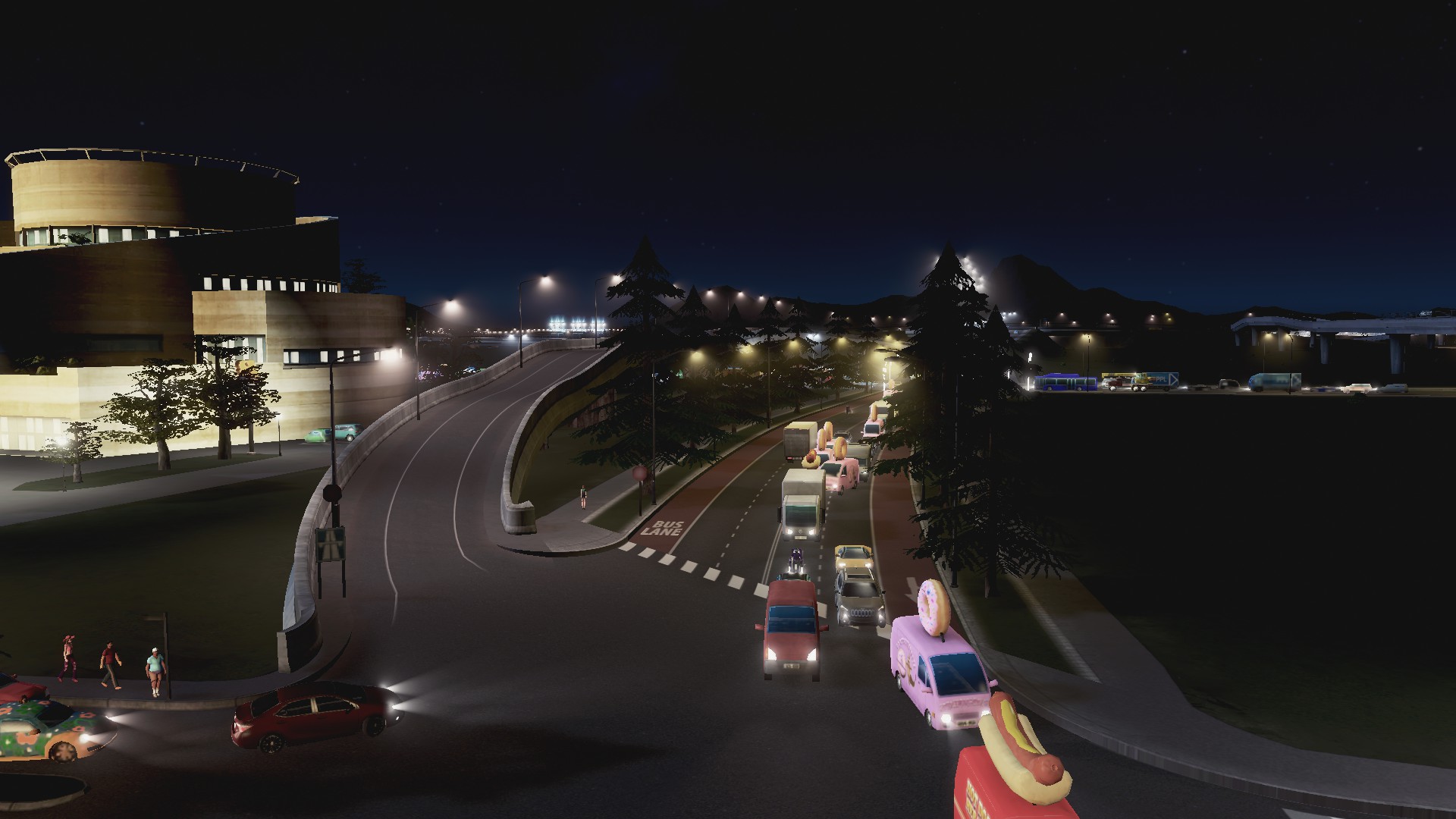
- Standard: this is where the bus is the primary mover of people in a given area. The budget varies and allows frequencies between every 5 minutes in peak and 20mins off peak (night). Capacity ranges from 30 to 90 passengers per bus and bus lanes are seen on arterial roads
- Metro: this is where the big bendy buses (130 passenger) ply their trade often on busways connecting different Districts within the City. Frequencies are every 3-5 minutes and bus lanes or bus ways are used along most of their route. Metro buses can also feed into Metro Rail where the Metro rail runs north-south and the Metro Bus will run east-west intersecting the metro-rail at a transit hub. If the Metro buses are constantly overloaded I will swap them out for Trams or Metro Rail (more often Metro Rail owing to their grade separation above or below ground)
Bus Hubs of various sizes are used depending on purpose with some also interconnected with trams and mono-rail stations as well. And as expected Transit Oriented Developments are utilised around the bus hubs or transit interchanges as well to get best utilisation.
Bus Lanes and Busways:

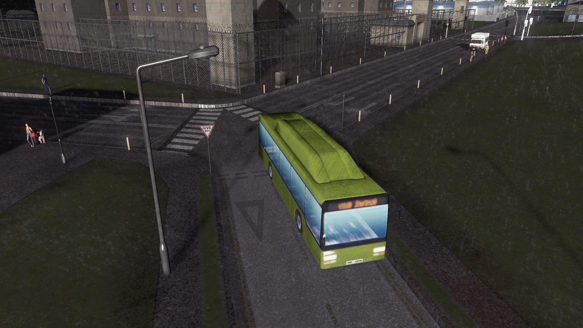

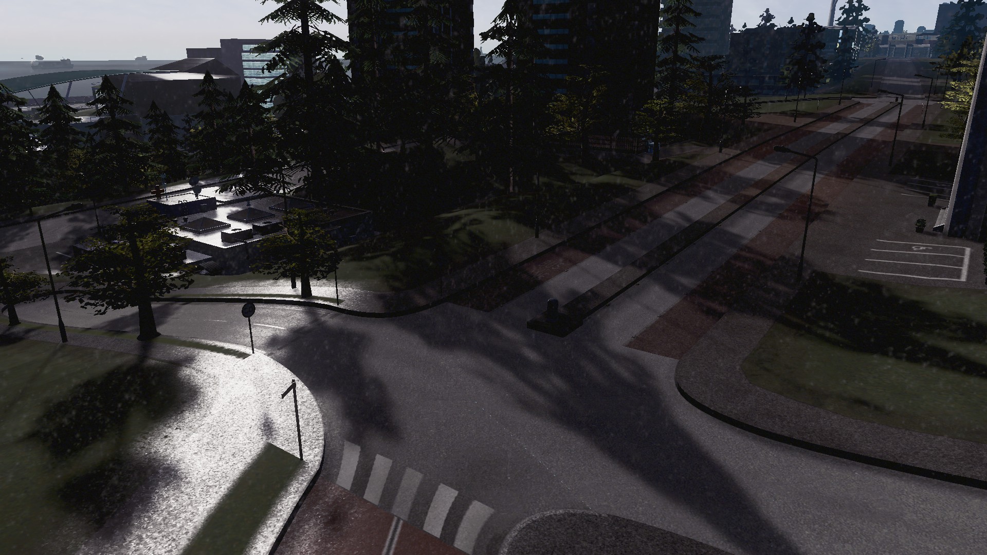


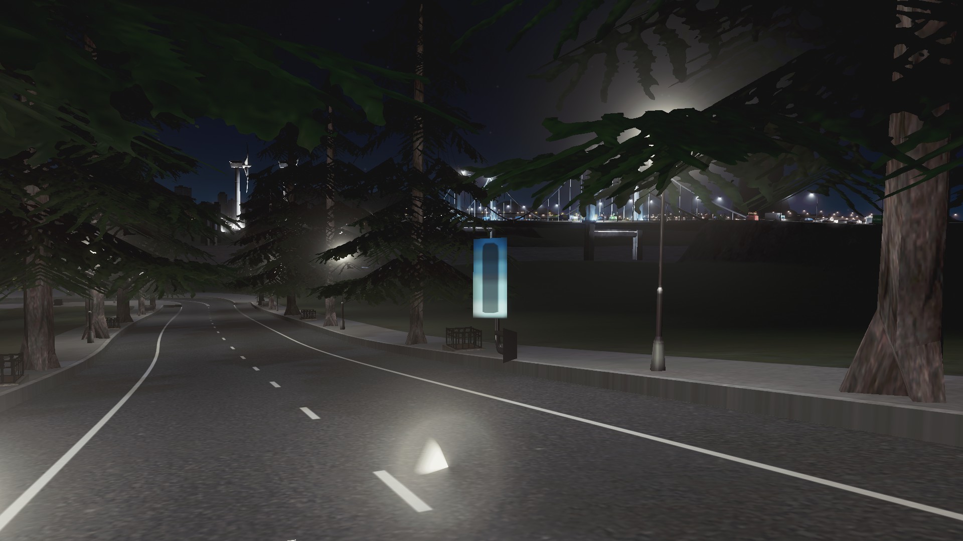
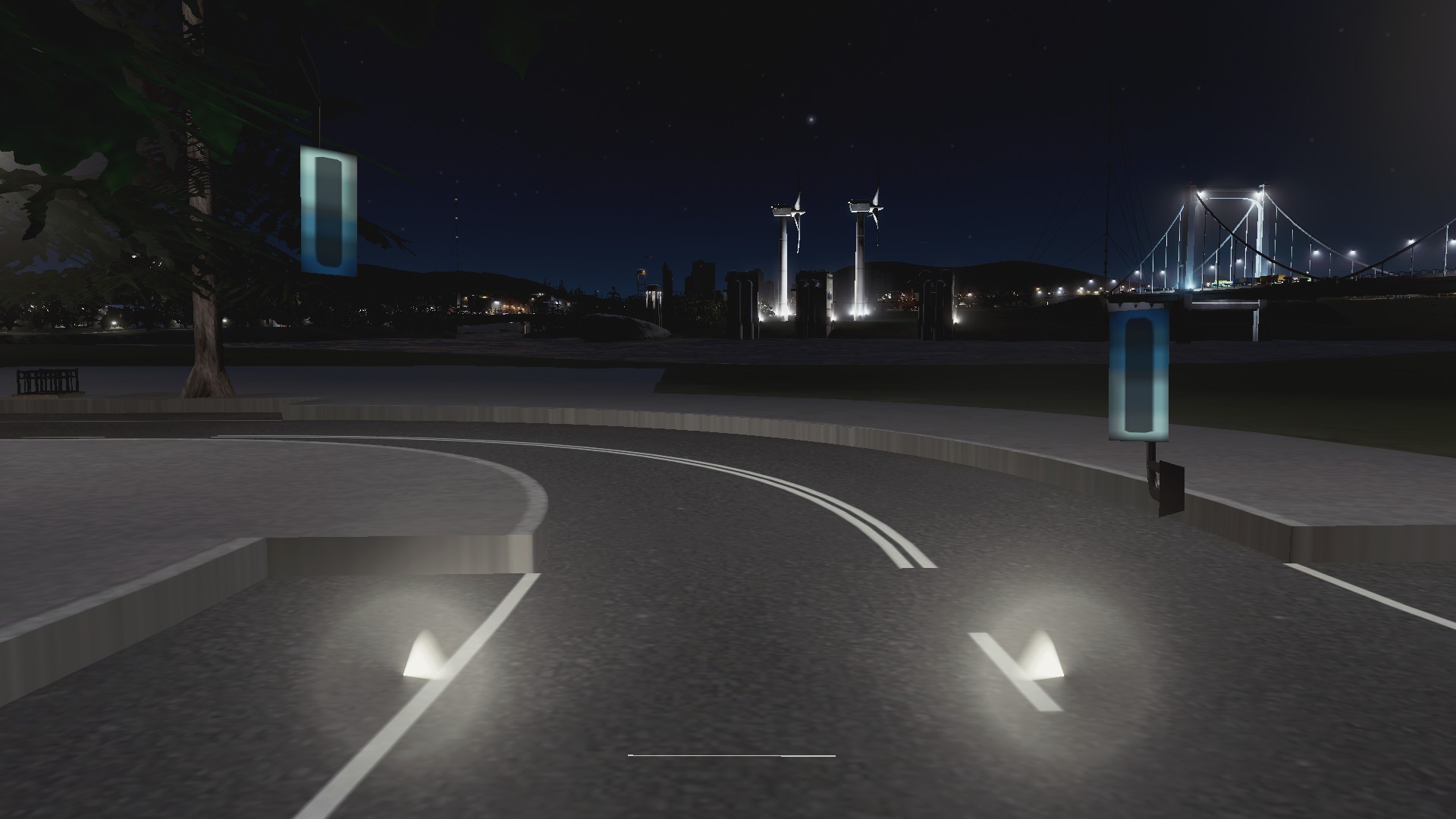
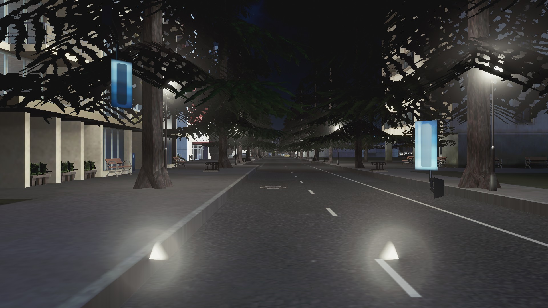
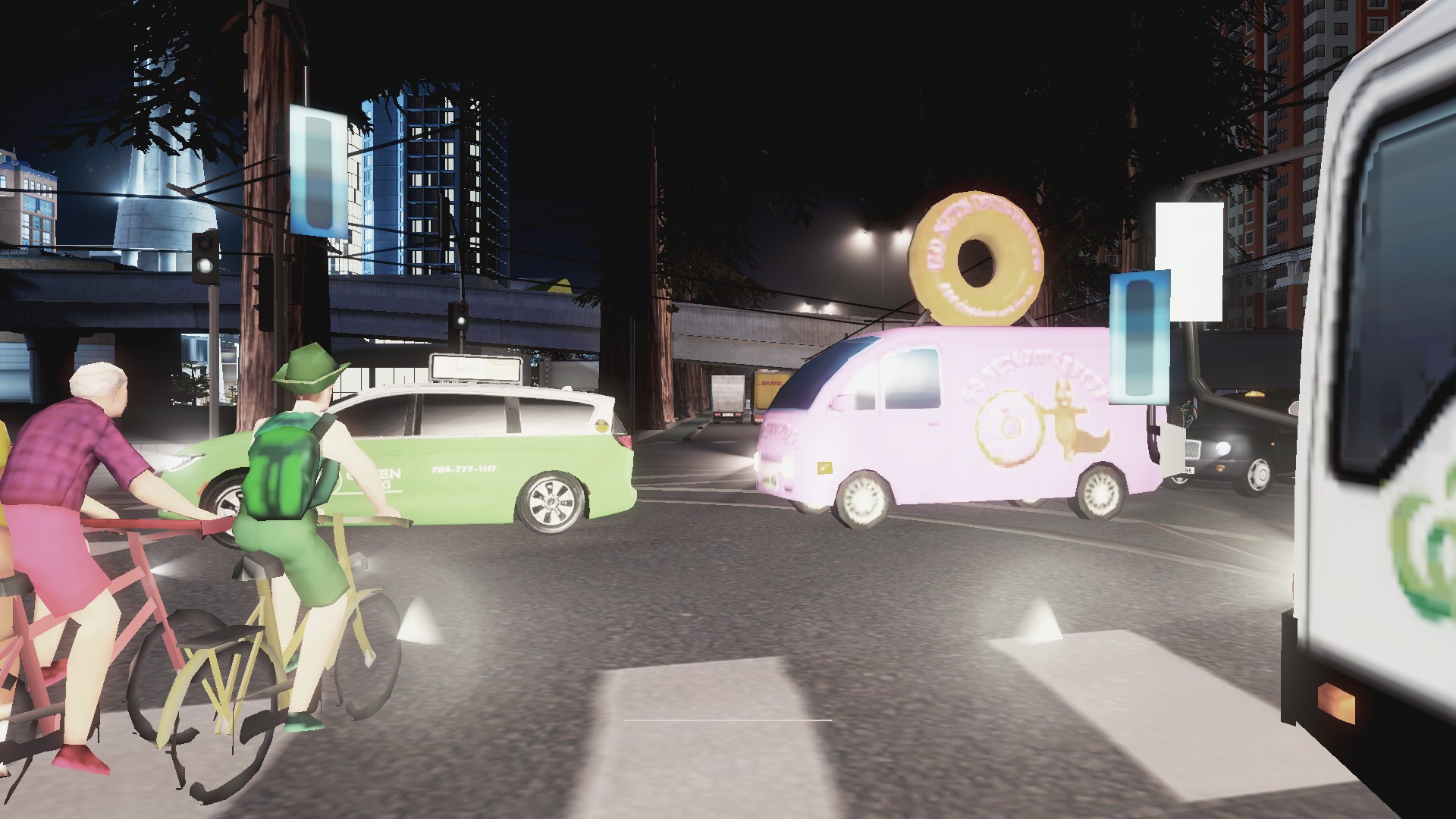
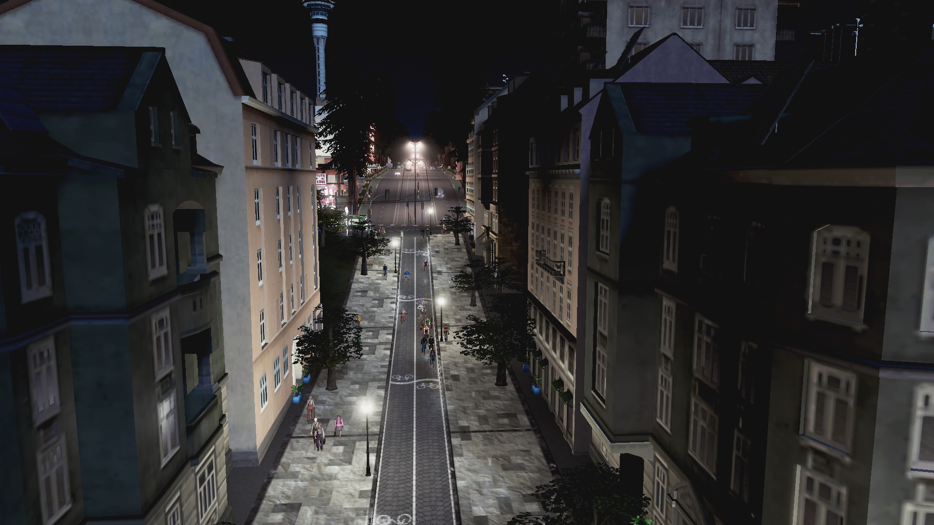
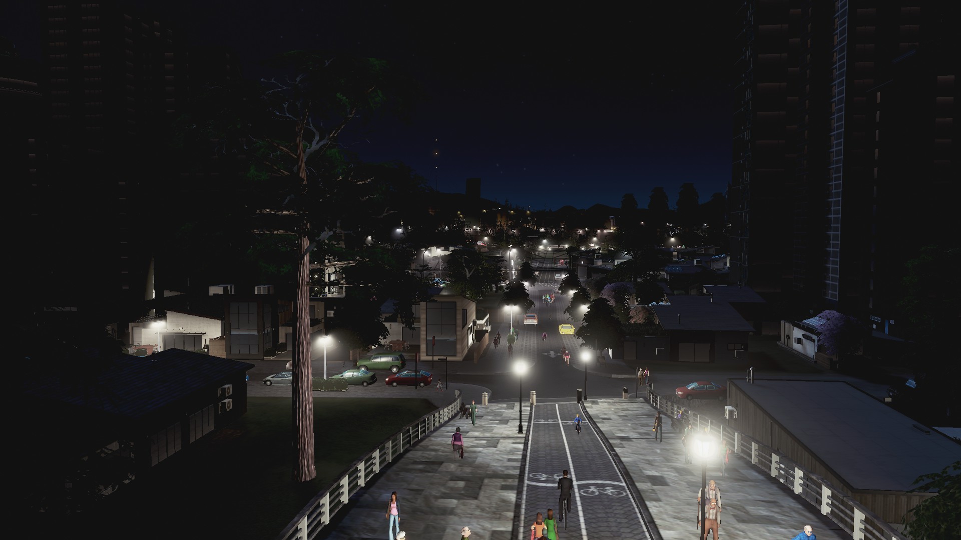
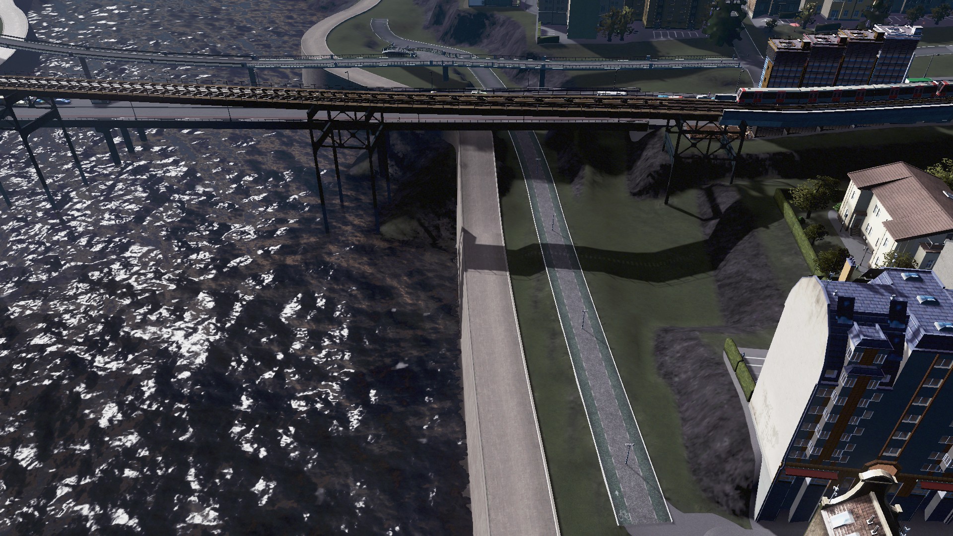
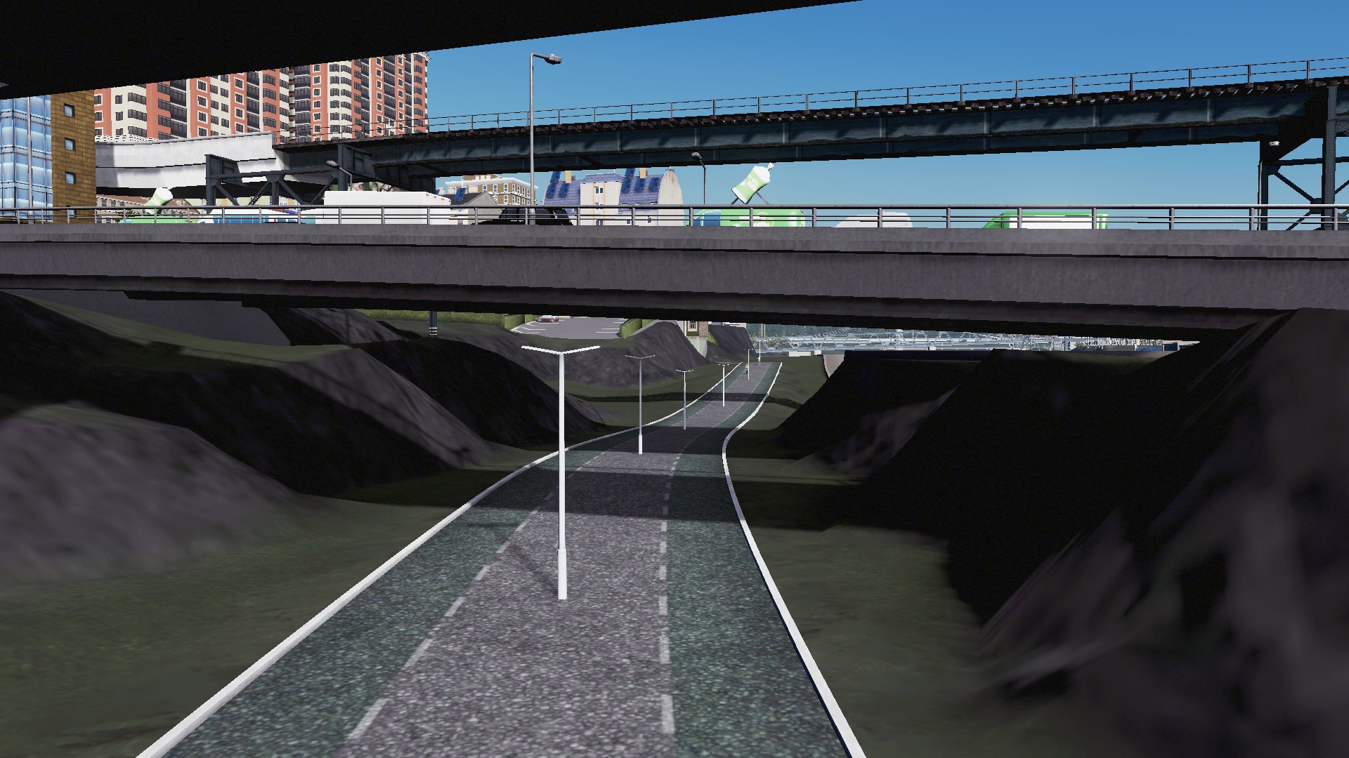
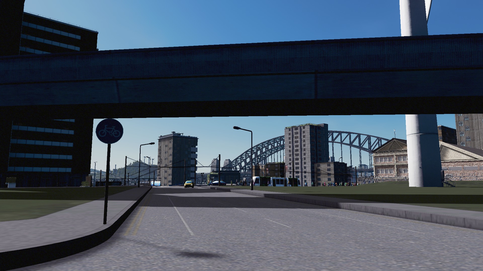
Cycleways and Pedestrian paths
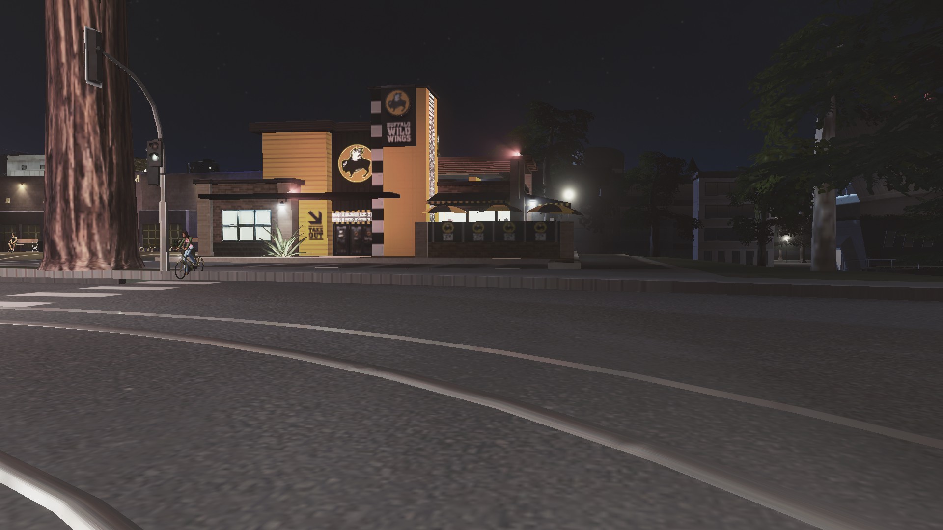
Cycleways and pedestrian paths I tend to use to connect cul-de-sacs up to nearby main roads. However, when your City has a river or three running through them cycleways and pedestrian paths become good cheap sources of moving people from A to B without needing the car clogging the area. Paths can also included Shared Spaces (with cars) or Pedestrian Malls.
Some examples:


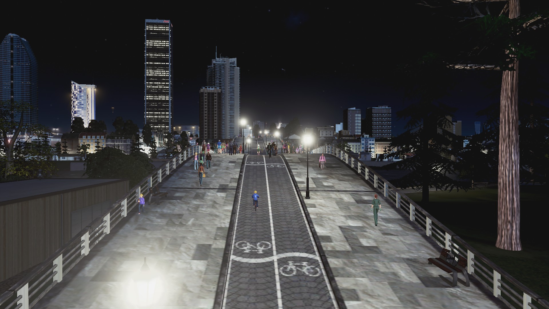

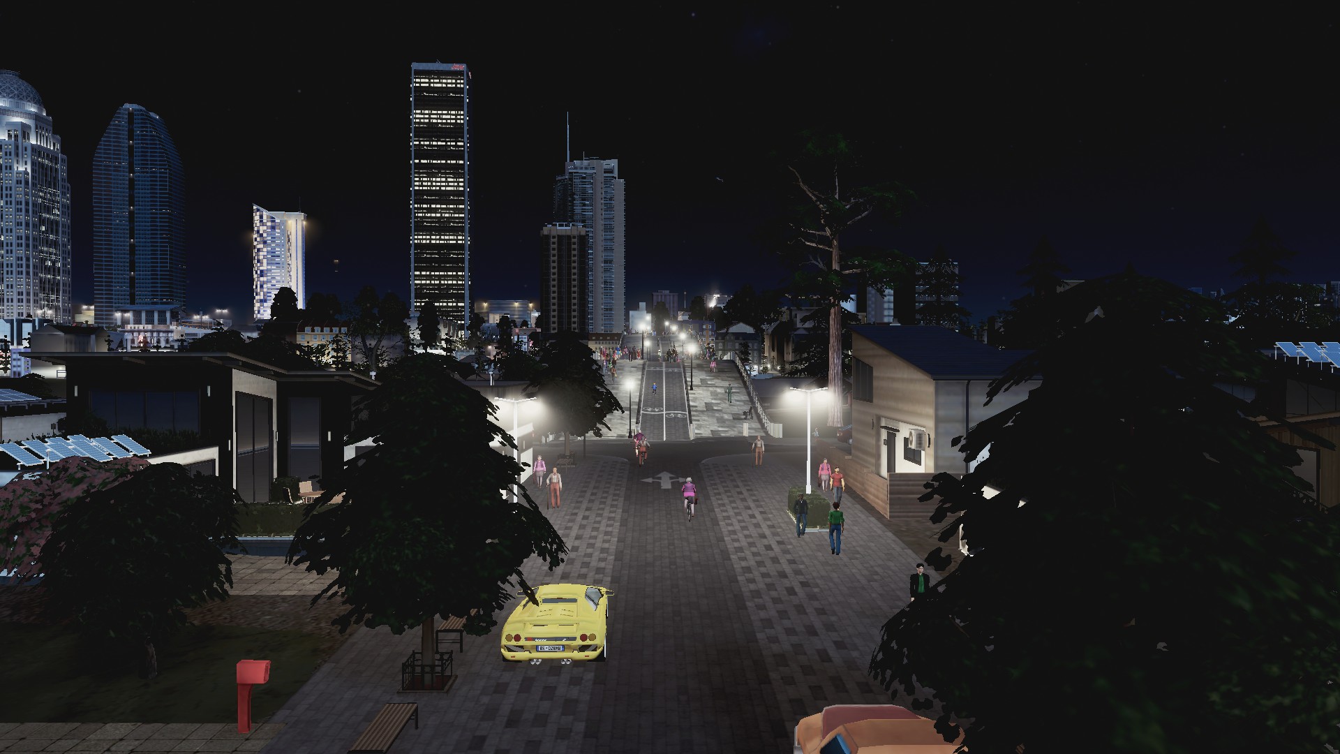

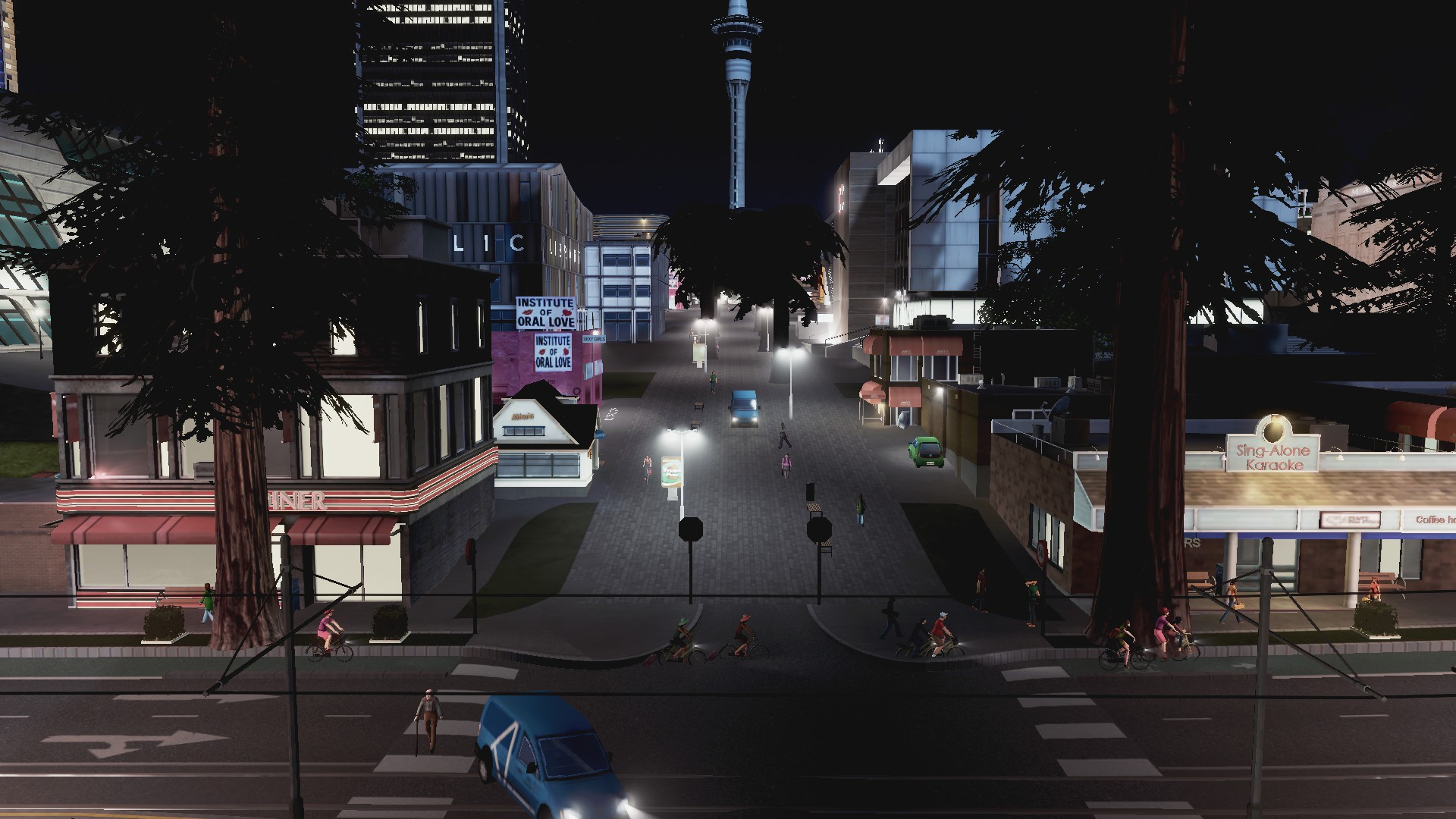


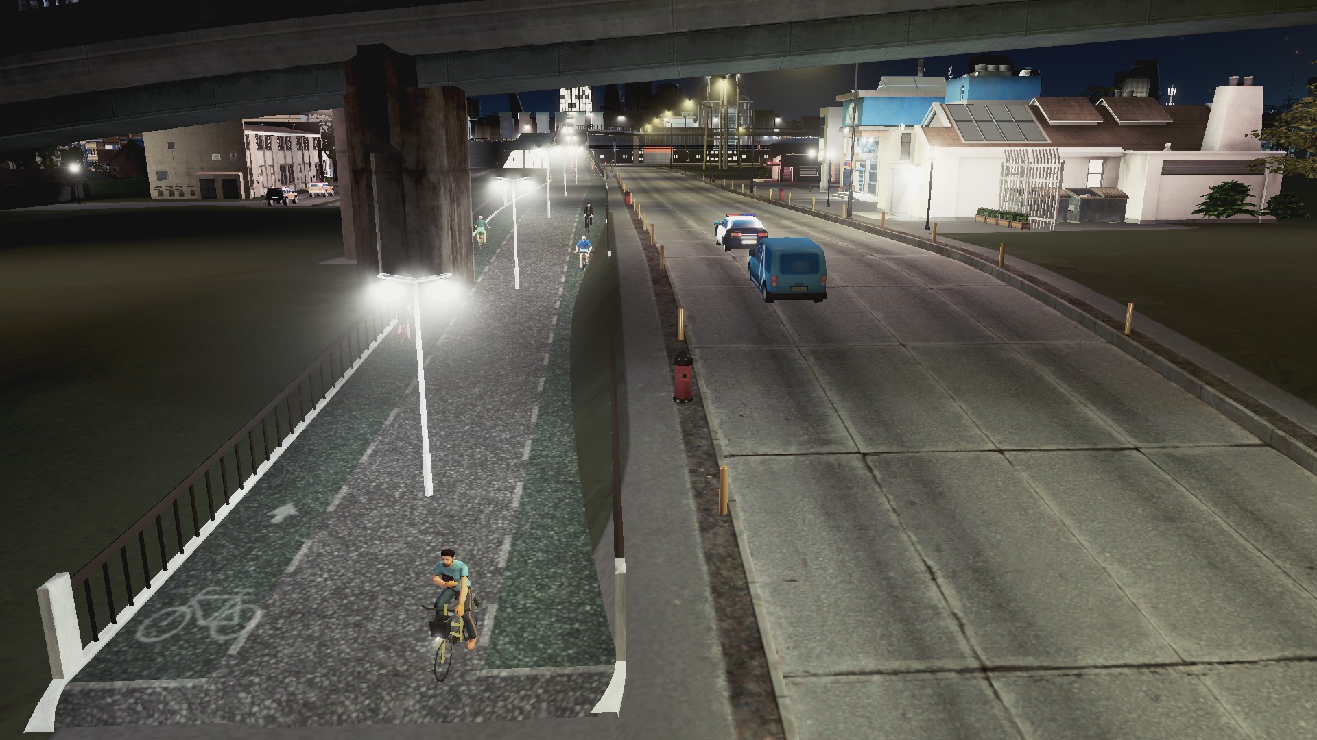
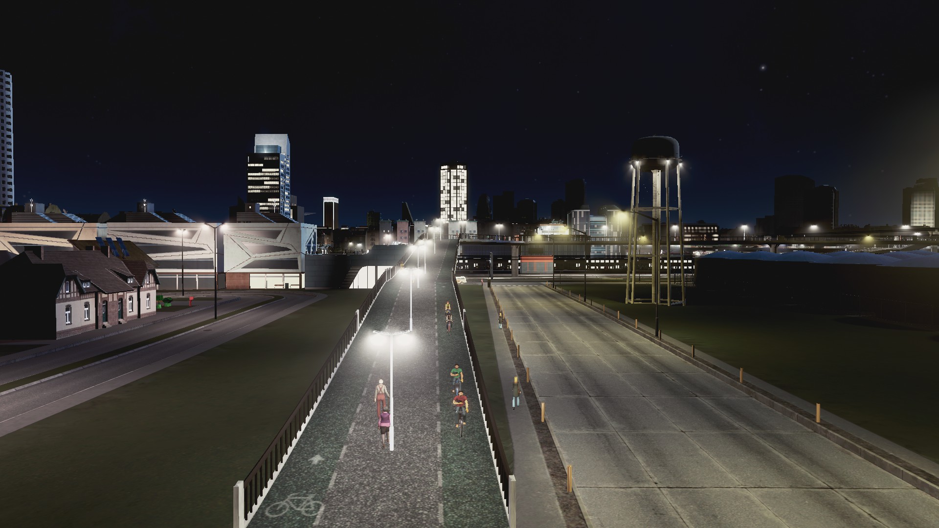


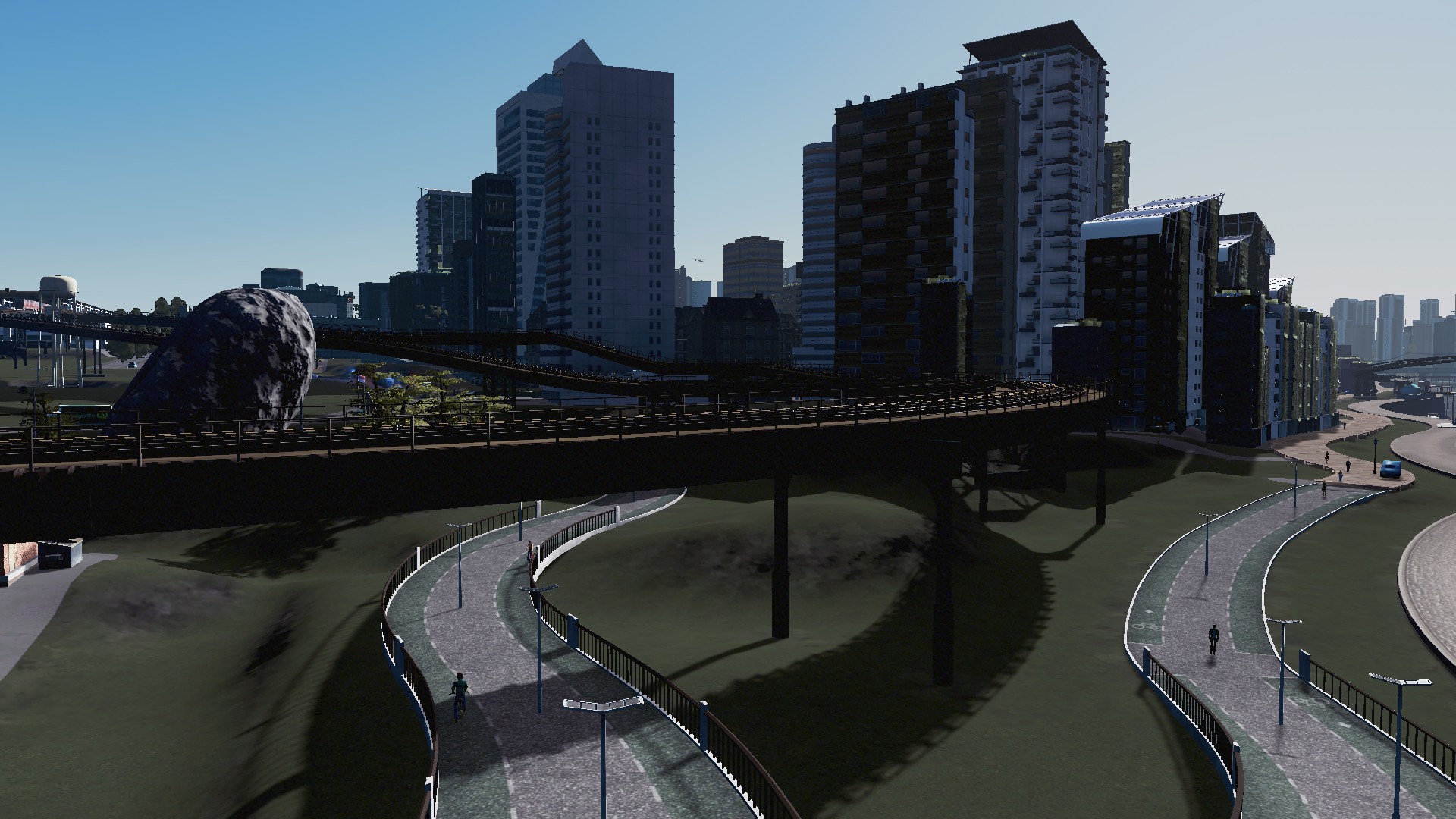


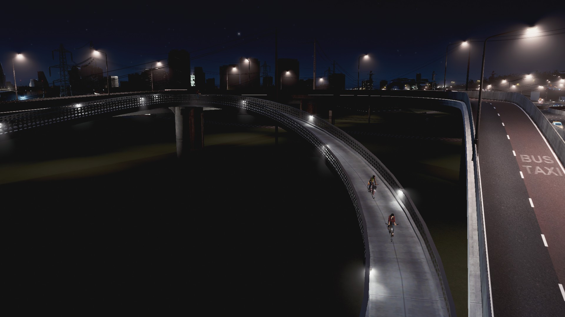
Of course separated cycle lanes and ordinary cycle lanes help too:


Big Data Mk1
Finally the data sets I use in both planning and evaluating decisions when working on the City. The data set is very rich and covers a wide range of topics including even individual transit lines as you are about to see:


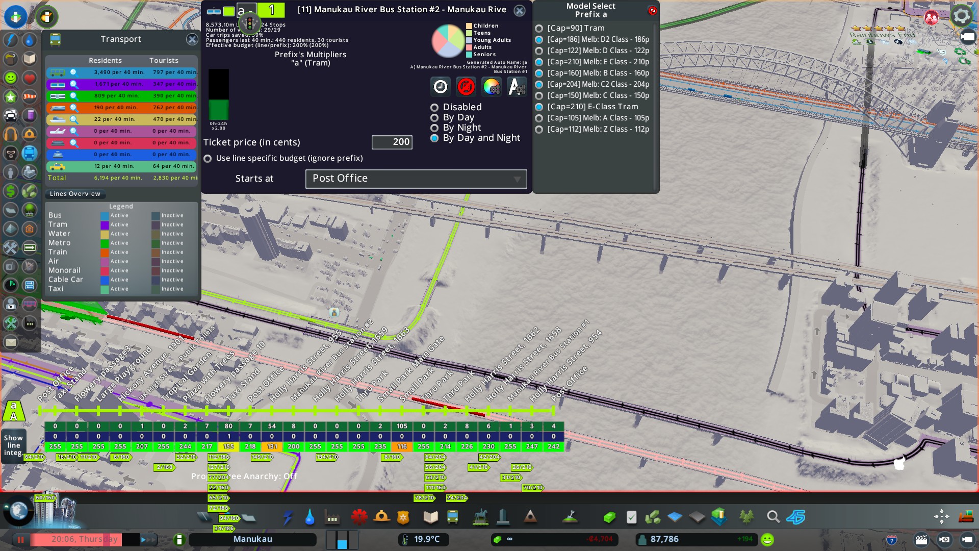

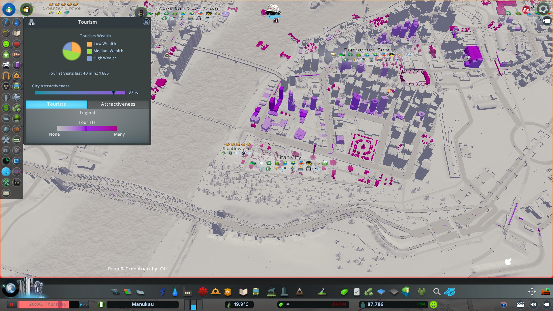
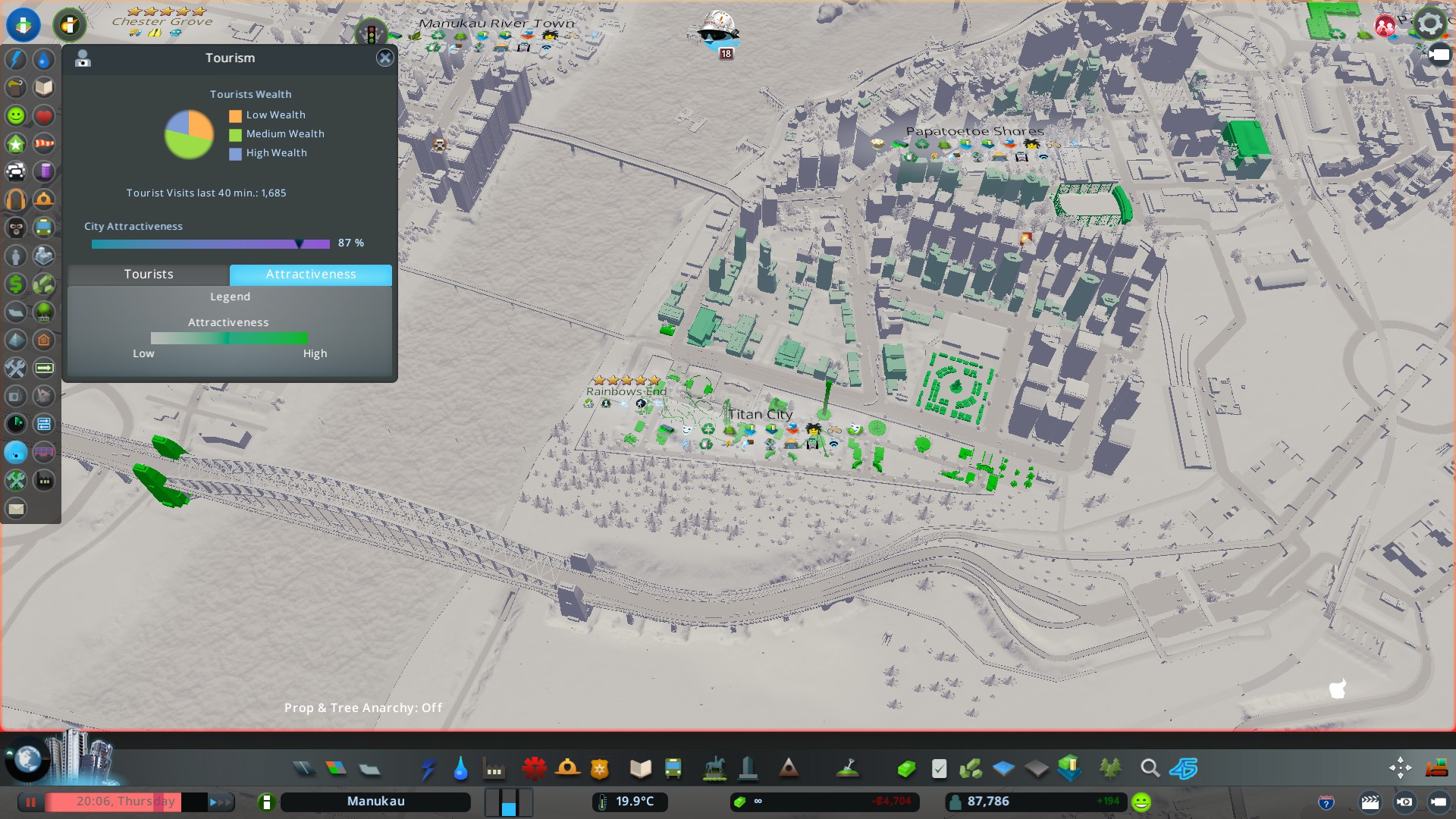

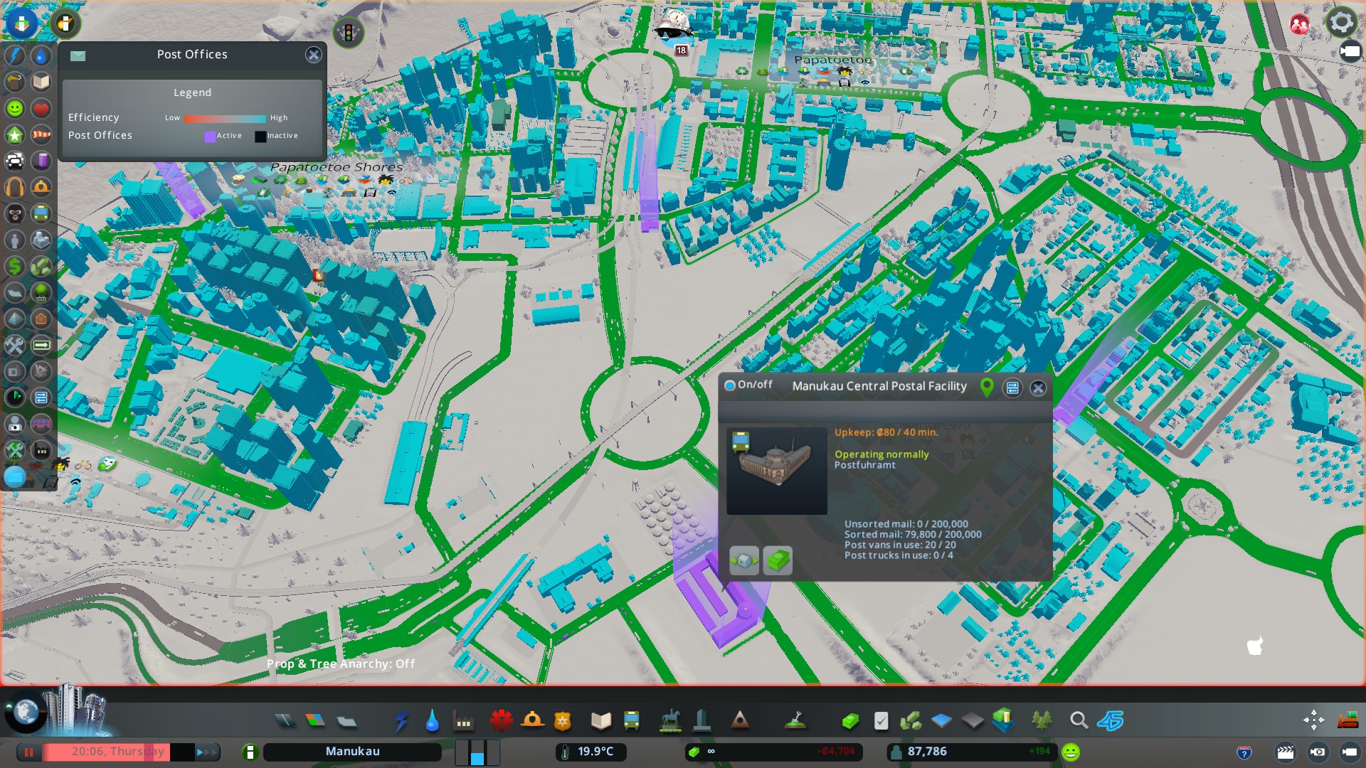

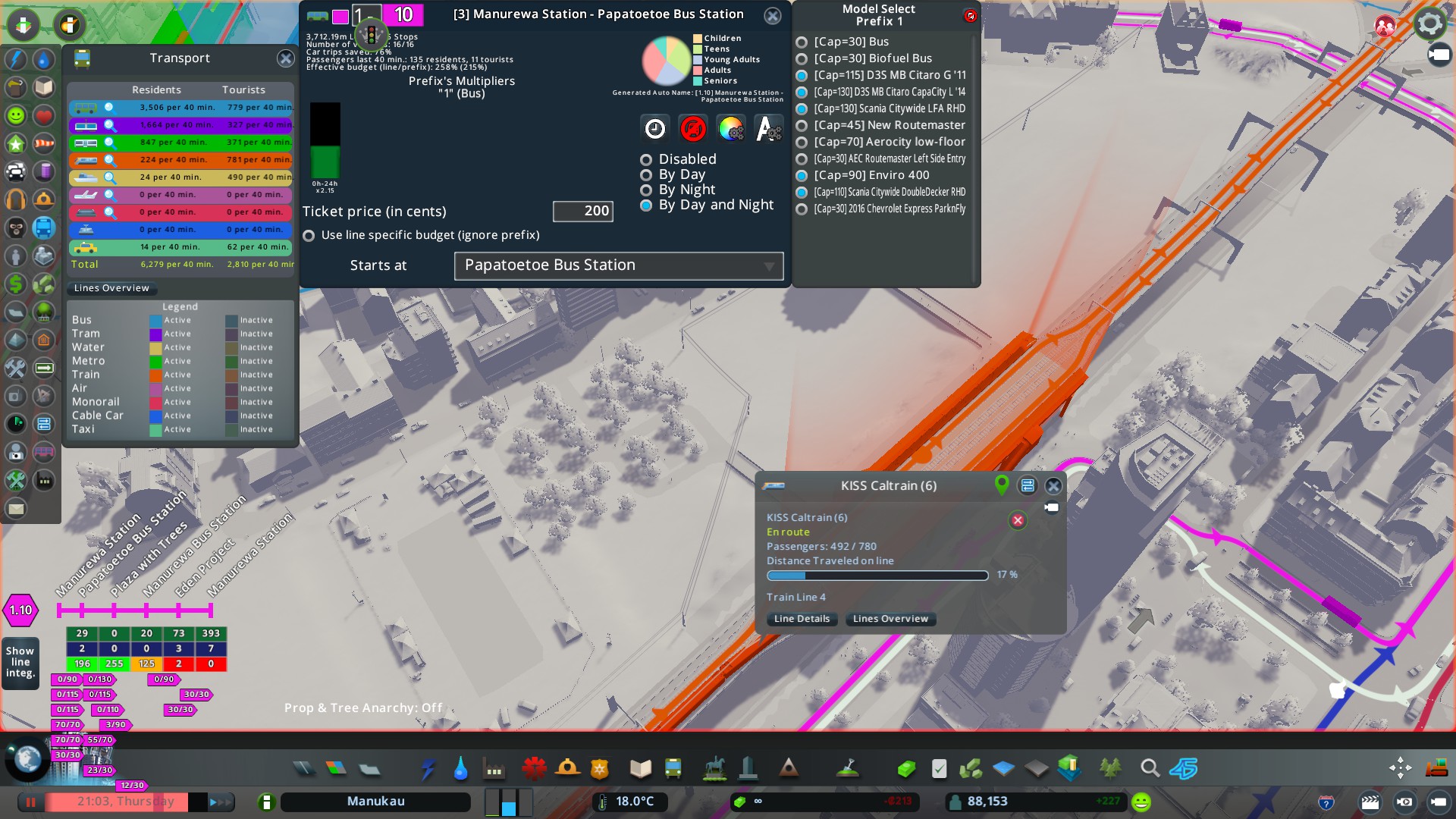
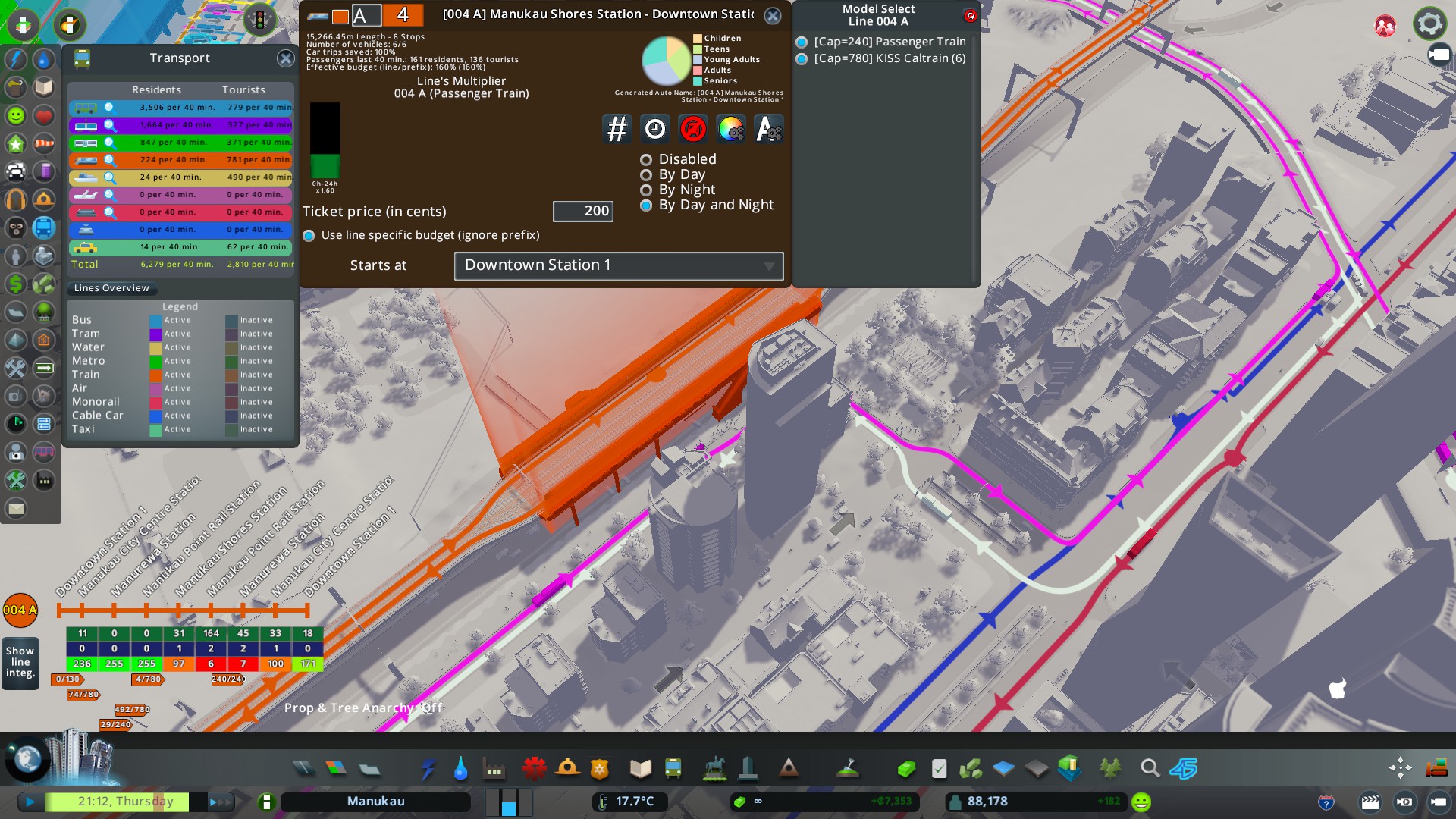

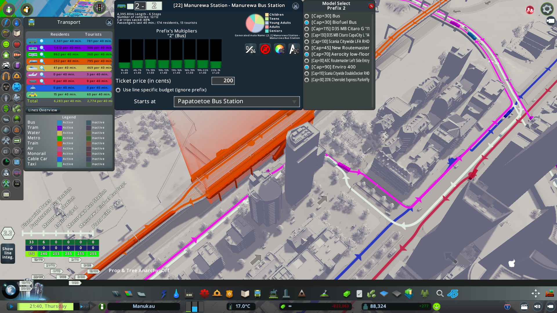
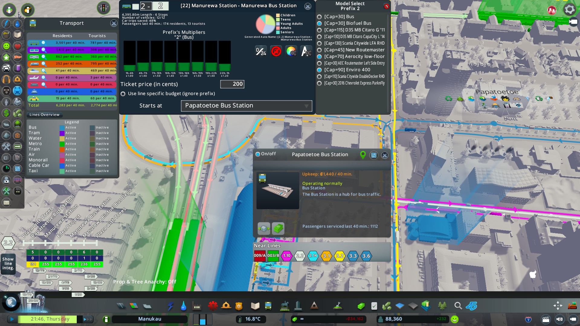
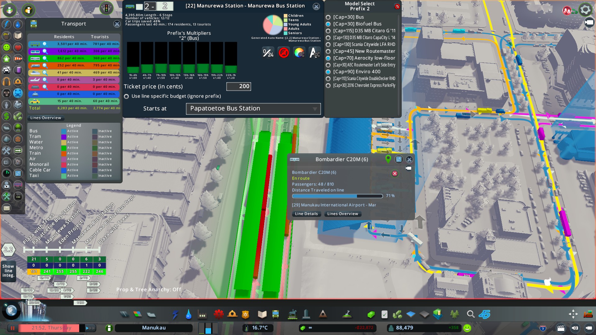


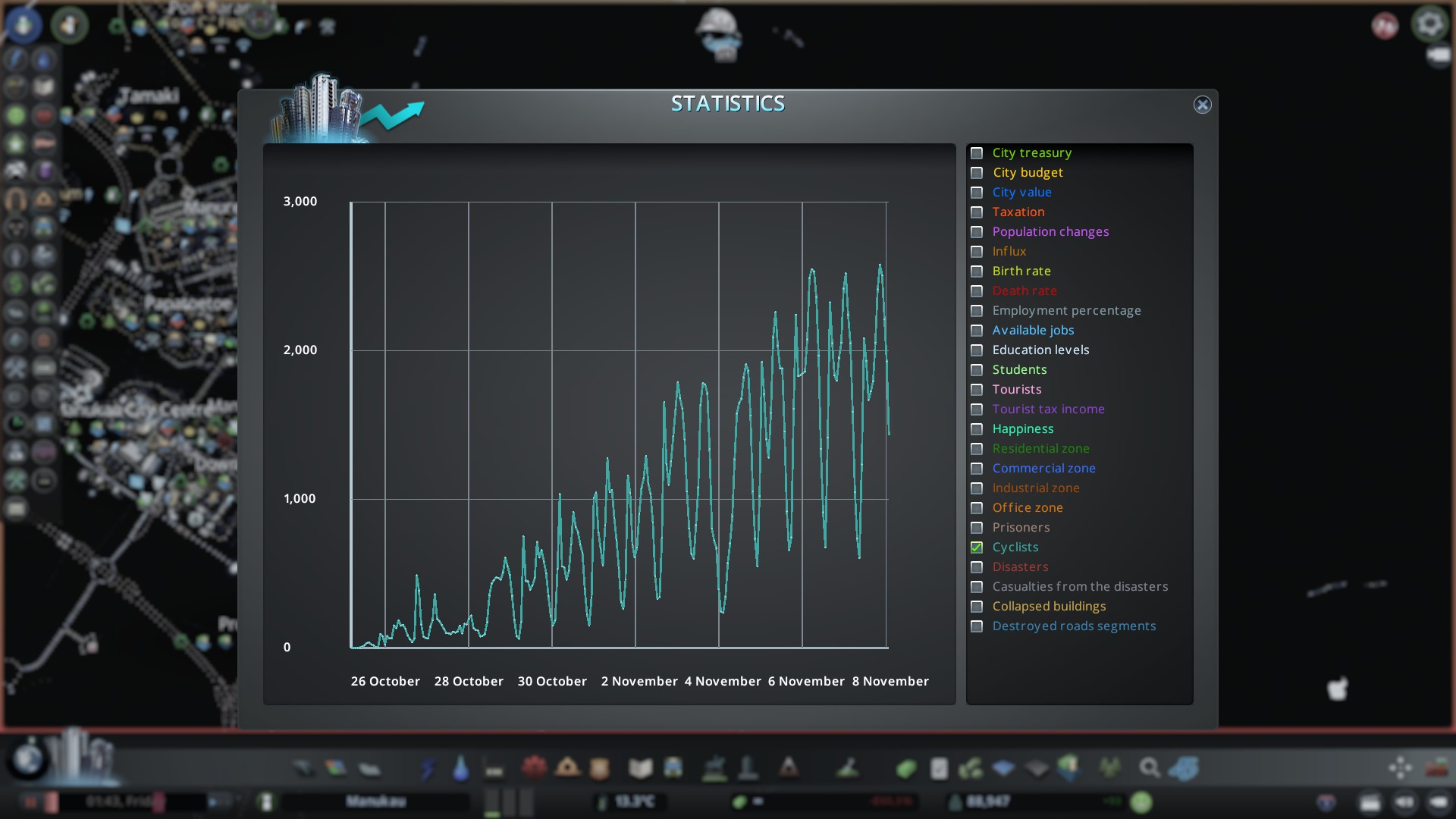


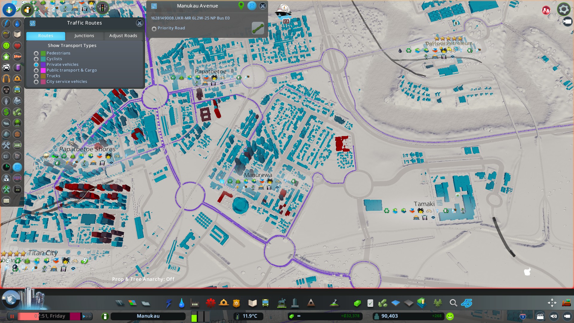


Cities Skylines is a bit more than slapping down some roads and zones. To make the City function optimally you have to respond to happenings and plan for them as well. The data sets can help especially with transport, electricity, water and amenities – unless you want the City to lock up and the residents sick.
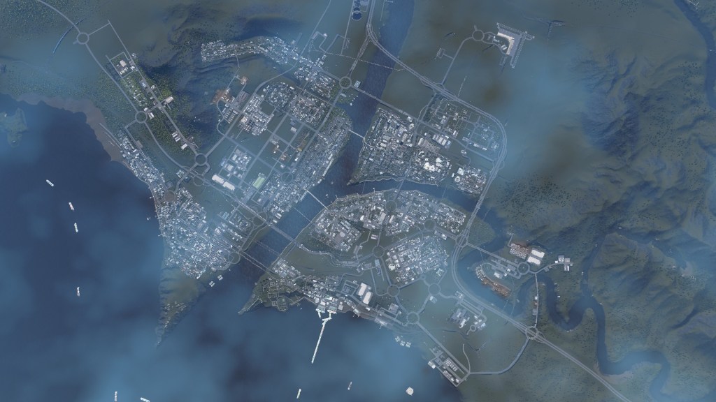
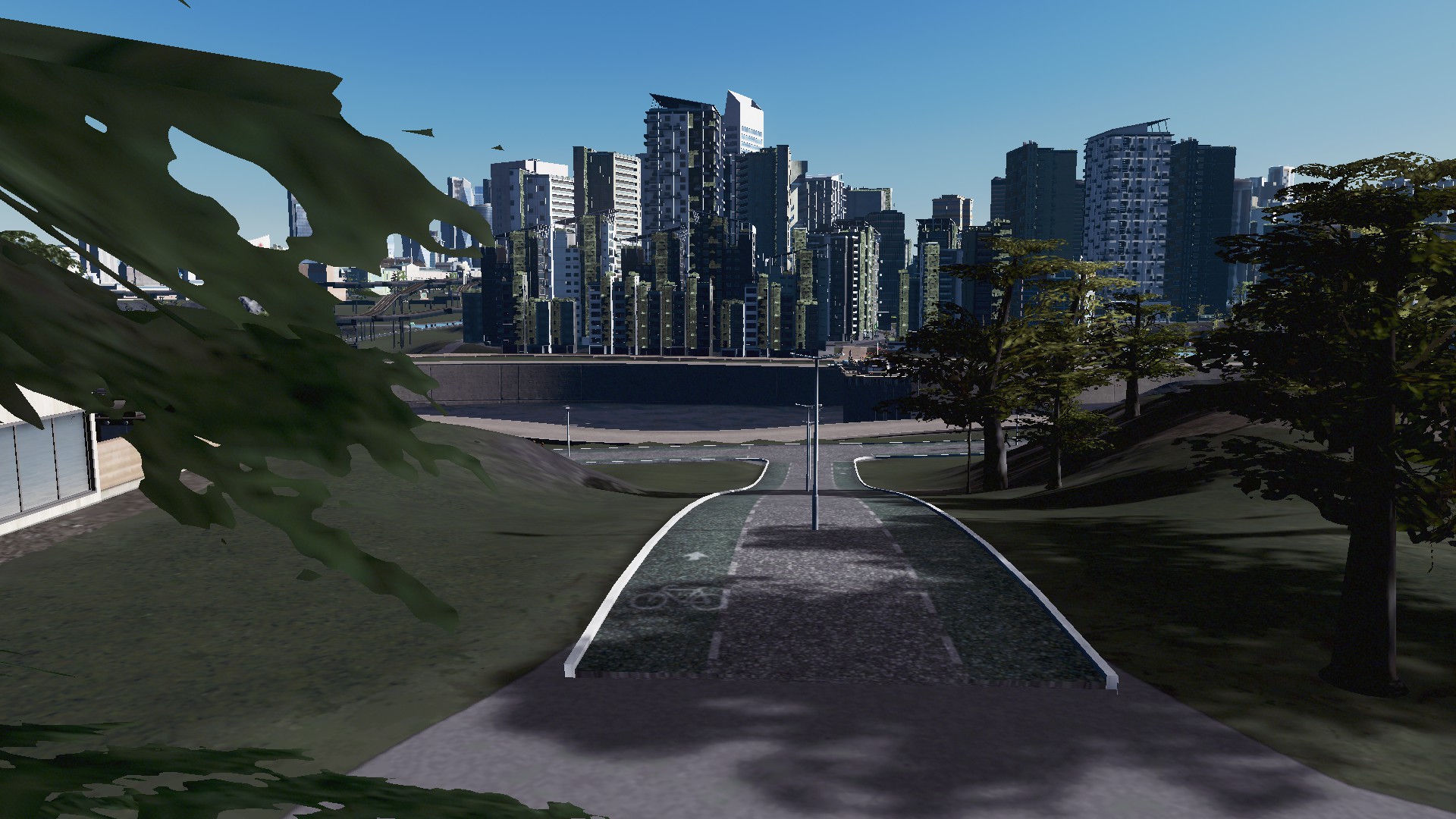
A final shot of Manukau in the prelude before we go over to how the City is currently and how it got there: