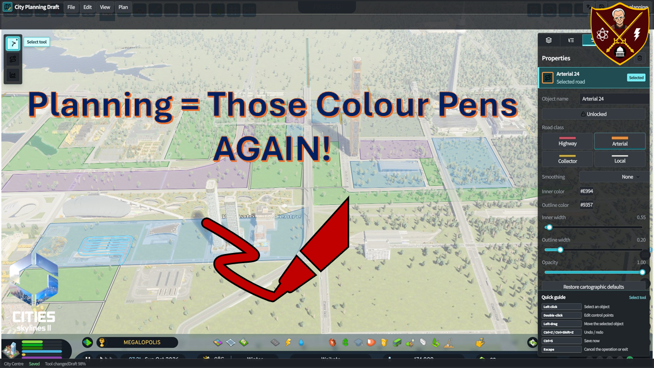

Those colour pens are back out again!
If Spatial Planning is about Spatial Form Influencing Behaviour AND Behaviour Influencing Spatial Form, while Land Use Planning is to carry out the Spatial Plan, then what do both have in common? COLUR PENS (and paper)! So, let’s go Spatial and Land Use Planning with a new mod in Waikato and Cities Skylines 2.
Oh and do mind the squirrels at the beginning as I have a bit of a side comment on using those “colour pens” in real life planning, and urban design applications.
Series
- Part 1: Introducing the Waikato
- Part 2.0: Continued Infrastructure Building
- Part 2.1: Waikato and That Infrastructure
- Part 2.2: Nearly there: finishing that infrastructure
- Part 3.0: THE ZONES!
- Part 3.1: Laying down the foundational transit
- Part 4: LETTING RIP aka move those cims in
- Part 4.1: First checks and first expansion
- Part 5.0: Ports, Bridges, and Railways
- Part 5.1: Industrial Expansion (Drill that Oil)
- Part 5.2: Mine that Ore (and Coal) aka Concrete and Steel Built This City
- Part 5.3: Old McDonald had a Farm
- Part 5.4: TIMBER!
- Reviewing Waikato Round 2 – 173,000 Cims
- Part 6.0: The City Centre (Spatial Planning)
- Part 6.1: Finishing the Infrastructure
- Part 6.2: The City Centre Expands
- Part 6.3: Going Downtown
- Part 6.4: Stitch the Line to Save Time
- Part 6.5: Stitch the Line Part 2
- Part 6.6: LET IT RIP
- Part 6.7: City Centre Review
- Part 7.0: Where next for Waikato?!

